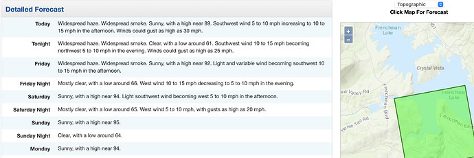
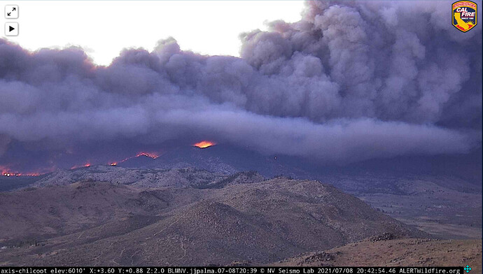
Winds 15-20 w/ gusts to 35 for this afternoon in the Chincoteague. Gona b a long day
7:29AM 7/8/2021 VEGETATION FIRE #SugarFire off State Highway 70 and Sugarloaf Peak, northeast of Beckworth in Plumas County. The fire is at 11,799 acres and is 20% contained.
So this guy’s/gal’s photography does a great job of catching the often required need to point out the obvious.
Are the flanks giving is a nice clean healthy burn for most part or is it all scorched earth policy like the head?
Anyone have the ops map?
All of the maps for today can be found here:
https://ftp.wildfire.gov/public/incident_specific_data/calif_n/!2021_FEDERAL_Incidents/CA-PNF-1064_Beckwourth/GIS/Products/20210709/
The folder for the Beckwourth complex is here, and maps are in the GIS subfolder:
https://ftp.wildfire.gov/public/incident_specific_data/calif_n/!2021_FEDERAL_Incidents/CA-PNF-1064_Beckwourth/
She’s waking up
http://www.alertwildfire.org/shastamodoc/index.html?camera=Axis-NorthPortola&v=fd40729
Yep, she’s very woke!
http://www.alertwildfire.org/shastamodoc/index.html?camera=Axis-Chilcoot&v=fd40729
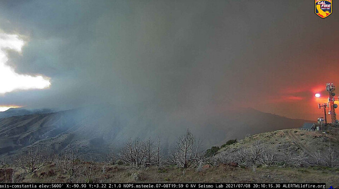
http://www.alertwildfire.org/shastamodoc/index.html?camera=Axis-Constantia&v=fd40729
Rolling. Looks like another long run headed towards the 395.
Setting up mobile repeaters(I think?) on fort sage.
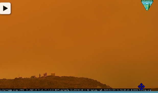
http://www.alertwildfire.org/shastamodoc/index.html?camera=Axis-FortSage&v=fd40729
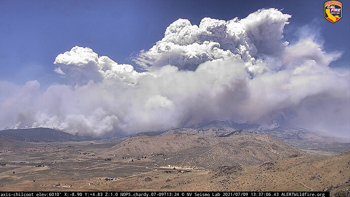
VERY impressive cap seen from South of Grass Valley. Gonna be interesting with the collapse. Be safe all!
Check out Chilcoot cam’s 15 minute loop
http://www.alertwildfire.org/shastamodoc/index.html?camera=Axis-Chilcoot&v=fd40729
Pretty early in the day for this level of activity. That thangs gotta be just hoovering everything off the surface.
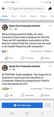
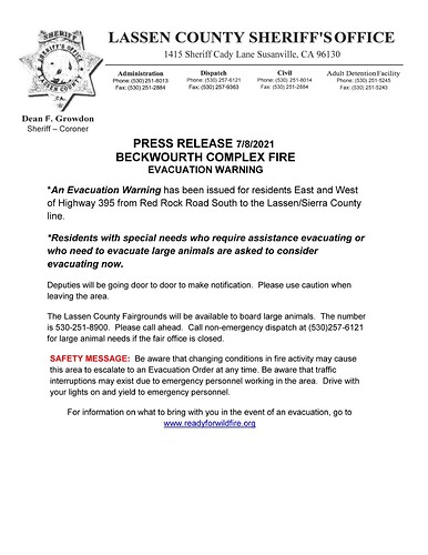
ADVISORY MESSAGE The Beckwourth Complex Fire continues to grow. It is anticipated the fire could reach US 395 by 4pm. Truckee Meadows Fire & Rescue and Washoe County are advising our residents in the Red Rock and Rancho Haven communities to make preparations to evacuate livestock and large animals. The Reno-Sparks Livestock Events Center is opened to accommodate the animals. Hug High School (2880 Sutro St.) will be the evacuation center for people and small animals if needed.
US 395 is anticipated to be closed from HWY 70 to Doyle, CA. It is imperative that residents travel southbound on Red Rock and do not use the northern Red Rock exit on US 395. Washoe County
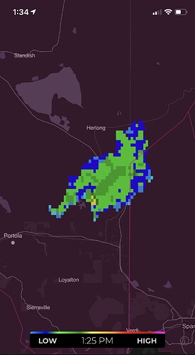
From Portola it has pileus clouds. Watch for rotation, lightning, and column collapse.
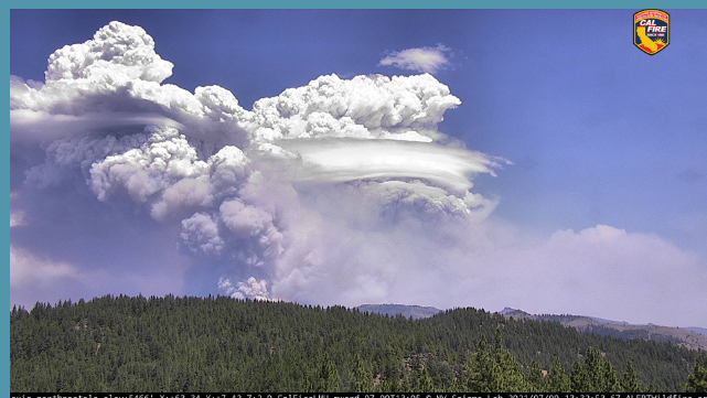
http://www.alertwildfire.org/shastamodoc/index.html?camera=Axis-NorthPortola&v=fd40729
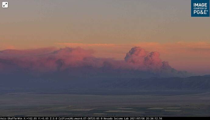
Looks like it is turned more northward than yesterday. The smoke ran across eastward as viewed from Schaffer Mountain, and now the smoke has a more direct approach. Sorry, no link at this time.
