
ATAK DATA PACKAGE up at http://www.tinyurl.com/TAKMAPS
No IAP included today as it wasnt posted to FTP and I dont have a link to whatever distro method team 2 is using.
They posted the IAP. I updated the DP.
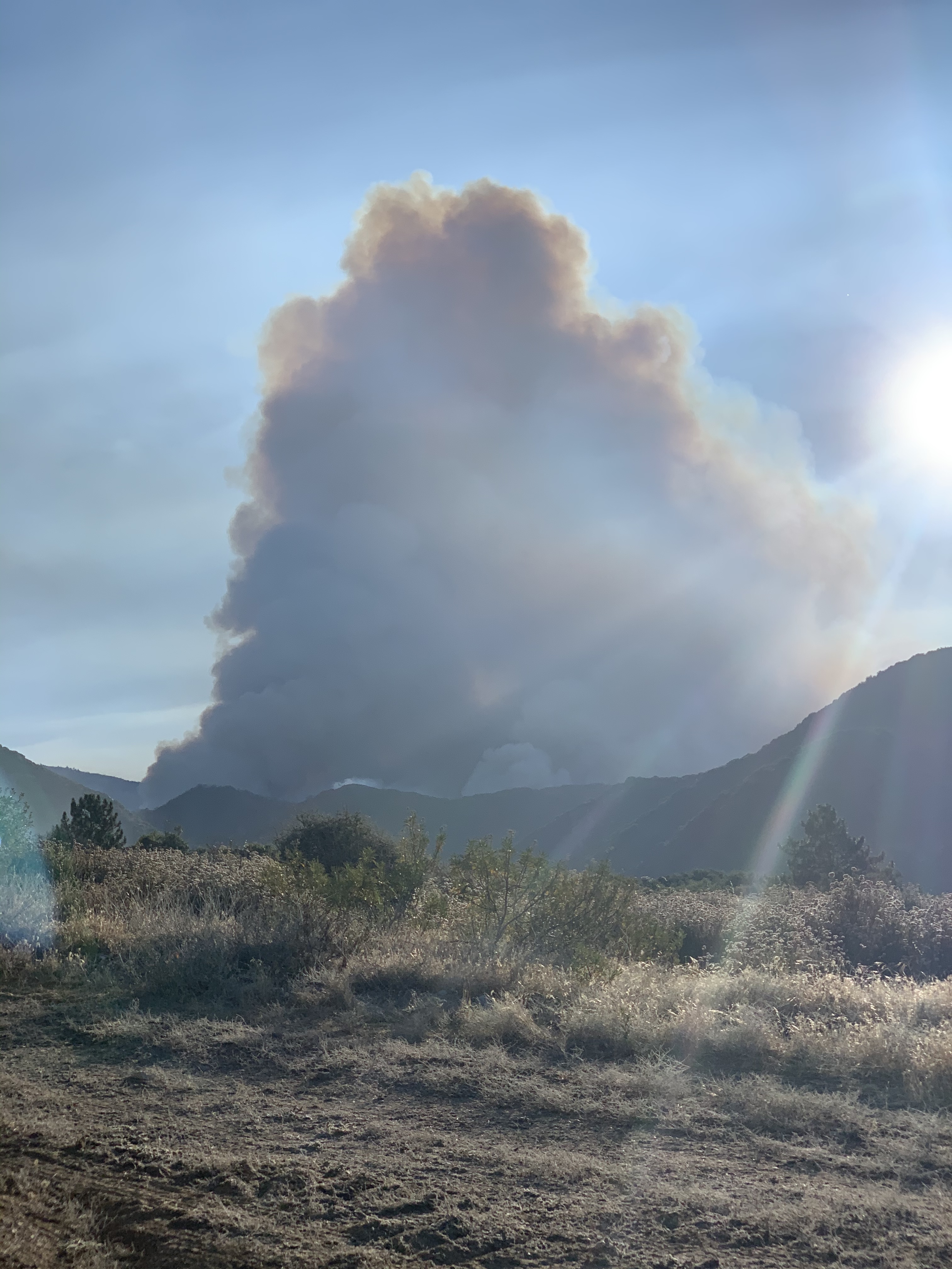
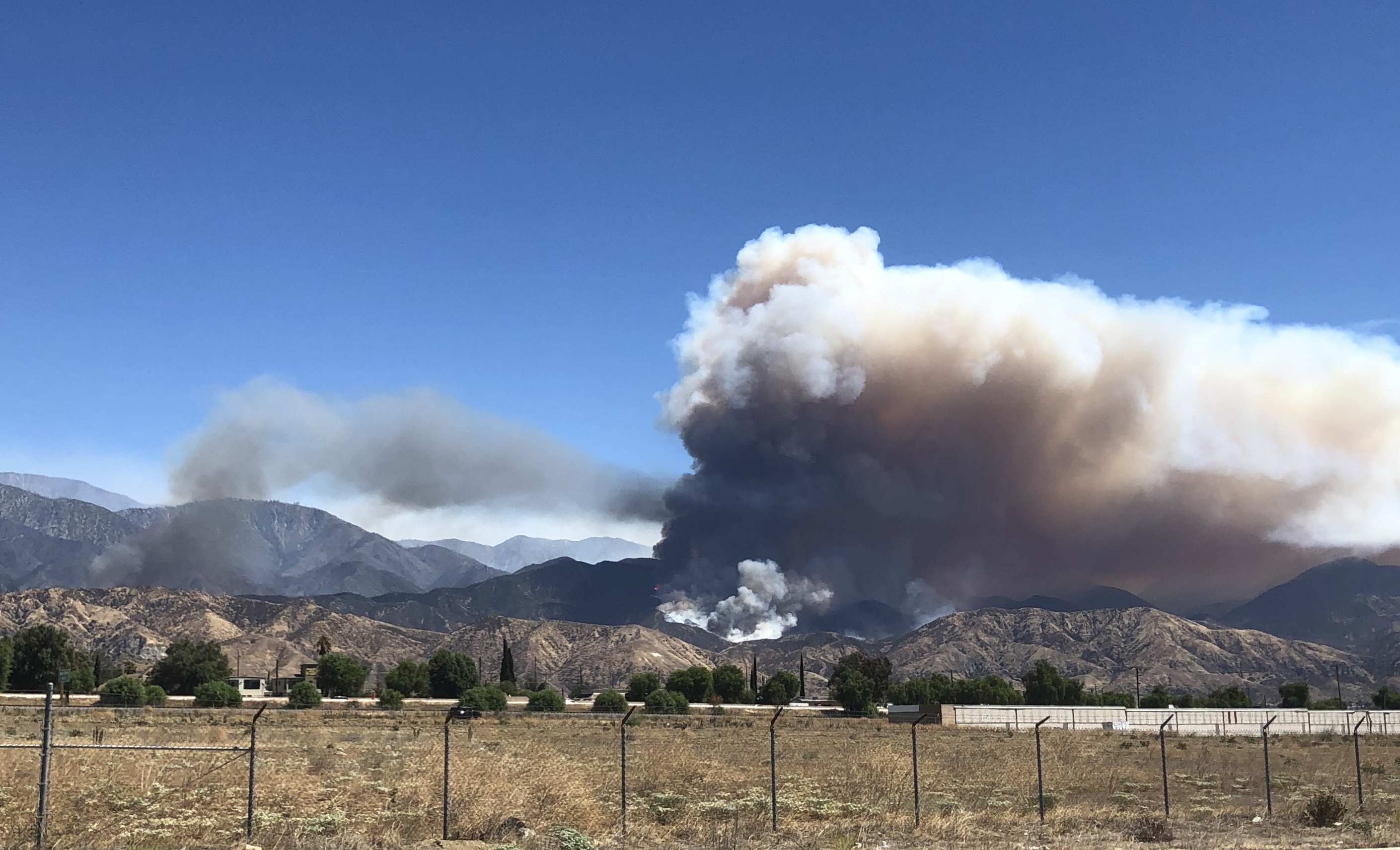
What part of the fire/road was that shot taken from? Looks like the column on the SE of the fire.
Correct, division X/U
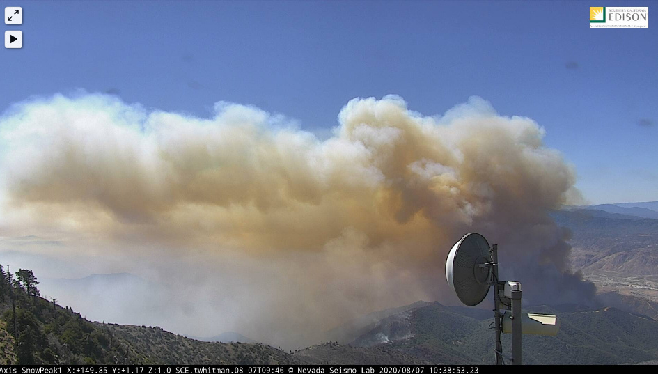
Appears a decent blowout and now multiple fixed wing on order, including a VLAT…
http://www.alertwildfire.org/inlandempire/index.html?camera=Axis-RechePeak2&v=81e003f
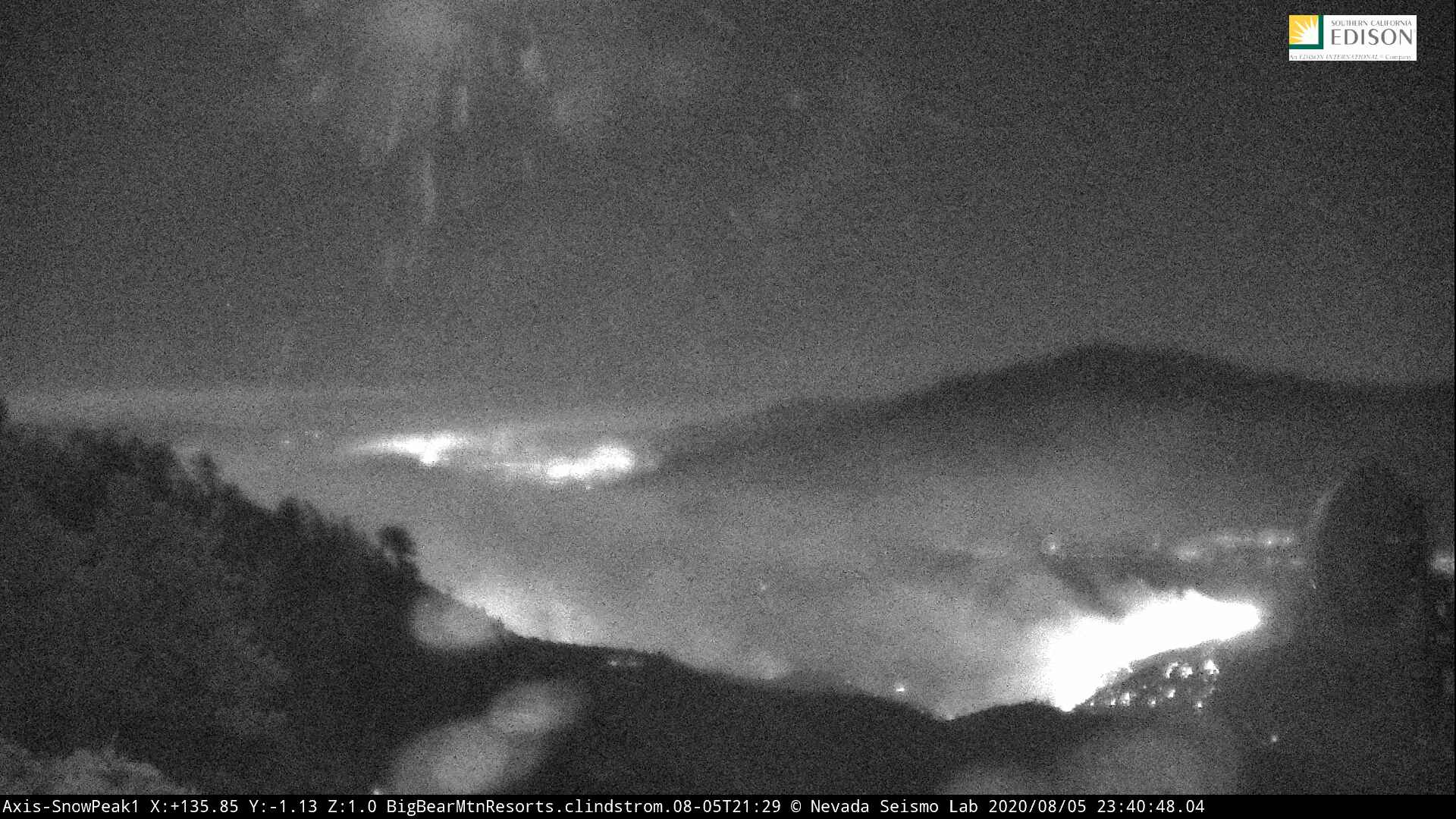
Ok, after looking at the cam below (Snow Peak), this may be the Water Branch? Anyone with intel please advise.
http://www.alertwildfire.org/inlandempire/index.html?camera=Axis-SnowPeak1&v=81e003f
Given how close to Snow Peak that blowout is, is not the Water Branch. The water fire was quite a bit to the east off Whitewater Canyon Road. Looks like things have just picked up a bit in division X/U
Thank you Brush.
The activity is in the top of Millard Canyon. Division Y and affecting Division X.
Mod please delete if not allowed… KESQ (news outlet in Coachella Valley) is reporting the following on their recent article about evac warnings:
"Shortly before noon, a member of one of the hand crews working to dig containment lines was under a tree when a branch toppled onto his head, according to reports from the scene.
The firefighter was aided by medics at the location but required further attention and was taken to a staging area, where he was reportedly picked up by an ambulance. No other details were immediately available, including his identity or condition."
Tanker 944 over the fire, and per Flight radar 24 looks to be refilling at San Bernardino. 914 has been working it all day.
From the Inland Valley Daily Bulletin on 8/7: 30% contained and had consumed 28,085 acres Thursday.
“Out toward the Morongo Indian Reservation, we’re expecting very active fire” Thursday, fire behavior analyst Dennis Burns said, in an early afternoon briefing. “The winds have really increased … (Wednesday) we had gusts up to 50 mph … it’s really starting to push the fire.” The fire in the valley, Burns said, changed from a fuel-driven fire to a winddriven fire. Westerly winds of 25 to 35 mph were forecast for the San Gorgonio Pass, with gusts to 50 mph Thursday, decreasing to 45 mph overnight, the National Weather Service said.
Firing ops continuing from last night
Yankee to X-ray to Union
Y (Burro Flats) just put fire on the ground, left side to X ( Millard canyon) Right side
That is an impressive burning op