AA ordered 1 ASM and asked for availability of VLAT. No divert on 4 Tankers for immediate life threat.
OES Intel 24 has mapped the fire at 130 acres, Dangerous Rate of Spread.
2:11 PM
Fire poses a significant structure threat and just crossed a road at the head, per air attack. Potential for 500 to 600 acres.
295 Acres.
3:08 PM
4 type 3 strike teams (20 engines), 4 golf strike teams (8 hand crews), and 4 dozers requested, immediate need, per incident command.
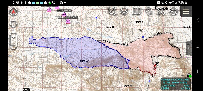
The head of the Fire is currently at Bonny Lane pushing towards the Bonny Fire burn scar from last year. Structures impacted along Bonny Lane.
AA requesting 2 vlat due to life safety and 2 lats
AA stating 1000 acres dangerous rate of spread. Structures threatened on multiple streets, it is across Tule Peak Rd to the South and well established in the Beauty Mountain Wilderness… The fire is also moving through the Bonny scar at a MROS. Dangerous rate outside the scar.
AA reports active fire behavior with moderate rate of spread in the Bonny fire scar and dangerous ROS out side of the scar.
AA just advised it may be at Cooper Cienega Truck Trail within an hour.
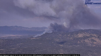
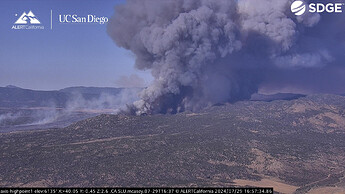
Here’s another comparison around this same timeframe from the Bonny Fire vs the Nixon Fire
Bonny Fire before, Nixon Fire now
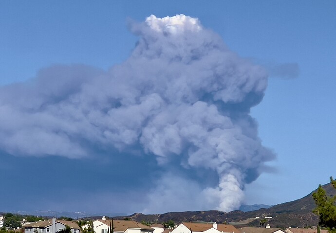
Nixon is absolutely ripping and roaring. It’s fasinating to see how two fires from the same exact spot a year apart exactly react.
Sounds like a slop over by the heel.
AA only got 1 lat
AA advising Ops fully involved structure at Bonny Ln and Short St. Advising possibly a few more on Bonny Ln. Trying to get Tankers in for defensive drops around structures.
Impressive
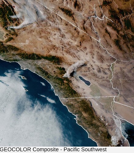
2,756 acres per FIRIS, Only one night Copter could be filled out of a request for 3. AA released one LAT ( Tanker 03) back to Fresno as he won’t be back in time, pumpkin time is about 2000 hrs per AA. He also advised OPs the 1 Night Copter should concentrate along the left shoulder where the fire hit structures.

