Seeing smoke and glow on both the La Panza and Plowshare Peak webcam’s, seems like it would be just west of Rockfront Ranch on the 166…any Intel? Based off my vantage, it’s on the south side of the 166 which would put it on the LP…?
1 Like
http://www.alertwildfire.org/centralcoast/index.html?camera=Axis-LaPanza&v=fd40729
http://www.alertwildfire.org/centralcoast/index.html?camera=Axis-PlowsharePeak&v=fd40729
1 Like
Tile Display: Firecam Display | Nevada Seismo Lab
Scanner feed: Santa Barbara County Sheriff, Fire, Aircraft and Marine, Lompoc Police / Fire Live Audio Feed
1 Like
Little scratchy, sounded like ROC was 5-10 acres, slow rate of spread. LPF has a delayed response, trying to get 2-3 engines out.
1 Like
South side of 166 is ExZacataly what we don’t want
6 Likes
La Brea Fire is what it would be like
2 Likes
The area where it is burning was not burned in the Zaca or La Brea fires.
You are correct, I was on both fires. I wasn’t insinuating the fire was as far as zaca, but rather closer to la brea. Thank you for the clarification 
I do know that the LP fire resources were off at 2000 all week and Apparently, they have been on this same staffing pattern all week.
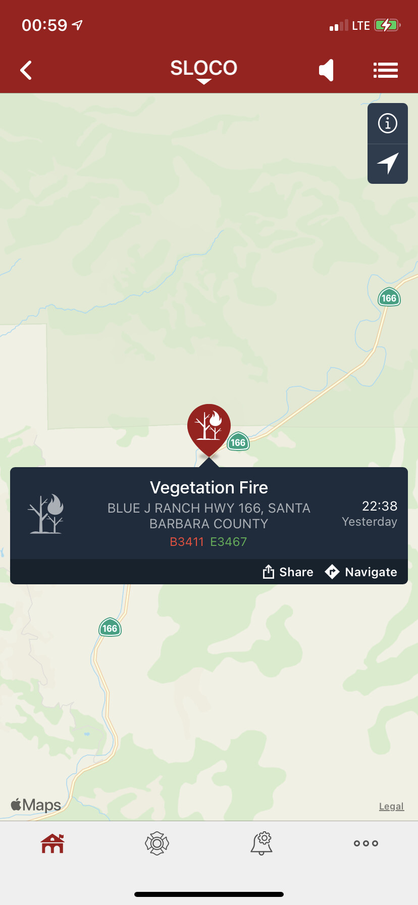
IC reports forward progress stopped at 1:51 a.m. Cause under investigation. Last updated acreage was holding at 10 per the IC. Unknown current acreage.
3 Likes