State ID: CA
3 letter designator: SDU
Fire name: Border
Location: Otay
Reported acres:
Rate of spread:
Report on Conditions:
Structure threat:
Resources:
Hazards:
Weather:
Radio channels:
Scanner link:
Webcam link: ALERTCalifornia - Otay Mtn 2
Agency Website:
3 Likes
20 acres per AA. Ordered 2 additional Tankers and 5 more type 3’s
3 Likes
100 acres now with moderate rate of spread
4 Likes
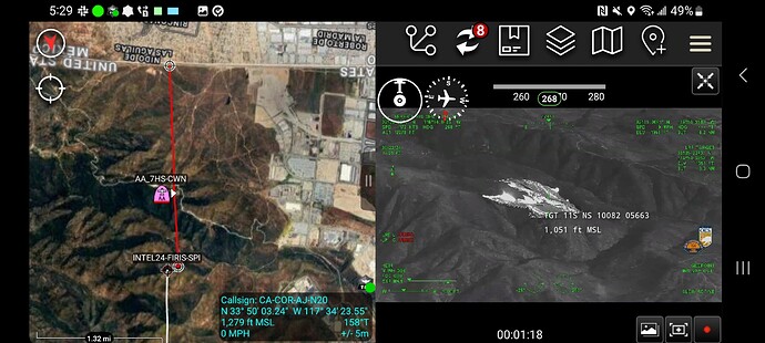
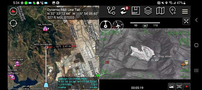
Mapped by Intel at 136 acres.
5 Likes
Ah Looks like north “Tin Canyon” once again. did it get to the Doghouse Junction?
1 Like
I don’t know for sure. Doghouse was referenced on the radio a few times. But I do t know the final footprint. The origin was right along Otay Truck trail a couple miles in from Alta Rd. It ran to the ridge but it was a knob before the Main Otay Mountain.
5 Likes
It did not. If yesterday’s perimeter is accurate, the eastern edge of the fire is still about two and a half miles west of Doghouse as the crow flies, and elevation-wise about 1000 vertical feet below it.
4 Likes


