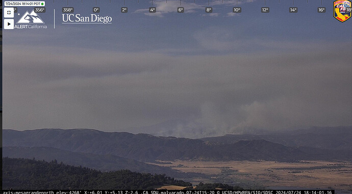
Fire has laid down significantly in the last 30 mins.
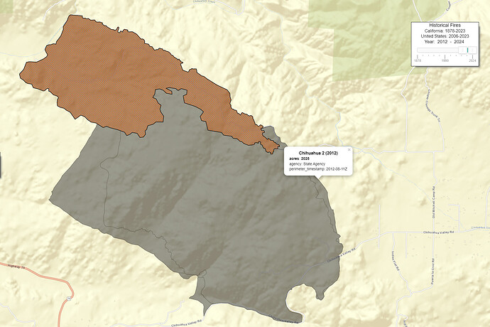
Fascinating how the fuel still hasn’t returned to pre-fire levels, +10 years later. I’m looking at LANDFIRE, and theres a definite discrepancy of fuel type: coastal sage scrub within the Chihuahua 2 scar, and dry-mesic chaparral outside of it, and its totally visible within satellite imagery. Curious what were the conditions that made the Chihuahua 2 so destructive in comparison to other chaparral environments. Perhaps high soil burn severity? Geologic maps don’t show anything unusual, though the Chihuahua 2 did burn through a minor valley.
It’s hard for me to say with any distinct certainty what made the Chihuahua Fire so devastating to the brush in that area outside of the common theory that areas like such have struggled to rebound with lush native vegetation due to it being burned during a severe drought period in the early 2010s.
I remember Chihuahua not being a particularly powerful fire. It took out about 2,000 acres in 36 hours and was put to bed. My belief is that despite 2012 being a relatively subdued fire season, the persistent drought conditions of 2011-2017 made so that long existing burn scars from any number of fires in chaparral dense vegetation struggled to rebound with said native bushes and were instead replaced with invasive and much easier grown sage and mustard seed throughout those years.
Because of the drought, many burn scars from 2010s fire throughout southern California can clearly be seen from satellite view as still quite barren when they could have bounced back much lusher in decades prior. You can see similarly poorly-healed scars via Google Earth satellite with the Buck (Aguanga; coincidentally burned the same week as Chihuahua ), Highland (Hemet; 2012) and Eagle (Borrego Springs; 2011) scars.
But this is just a theory of mine.
Interesting theory. That’s why I was asking initially about the scar. Now I’m gonna have to look into your thoughts more. I’m genuinely curious.


