State ID:CA
3 letter designator:SKU
Fire name:BRADLEY
Location:BARTEL/Hwy89
Reported acres:10-15
Rate of spread:MROS
Report on Conditions:TIMBER AND BRUSH
Structure threat:UNKNOWN
Resources:
Hazards:
Weather:
Radio channels:
Scanner link:
Webcam link:
Agency Website:
1 Like
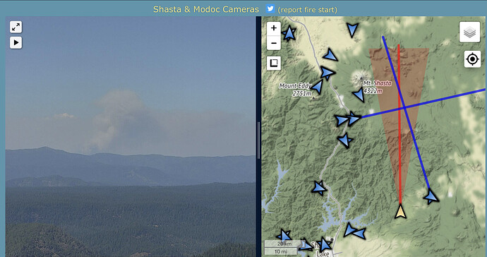
Showing well on Round Mtn Shasta Cam already
http://www.alertwildfire.org/shastamodoc/index.html?camera=Axis-RoundMtnShasta&v=fd40728
4 tankers on order
2 Likes
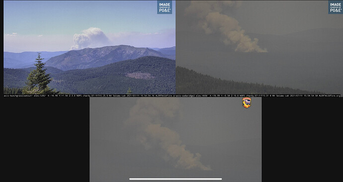
From Soda Ridge looking east.
http://www.alertwildfire.org/shastamodoc/index.html?camera=Axis-SodaRidge2&v=fd40728
1 Like
Lead plane + 2 addl LATs requested
1 Like
Showing on the RAMMB Satelite Pic: RAMMB/CIRA SLIDER: Satellite Loop Interactive Data Explorer in Real-time with GOES-16 and Himawari-8 Satellite Imagery
300 acres per AA. Sounds like they are making some good progress.
1 Like
Per the Shasta-T FB post, 90% contained at 357 acres.
https://www.facebook.com/ShastaTrinityNF/posts/3026259214272784
3 Likes


