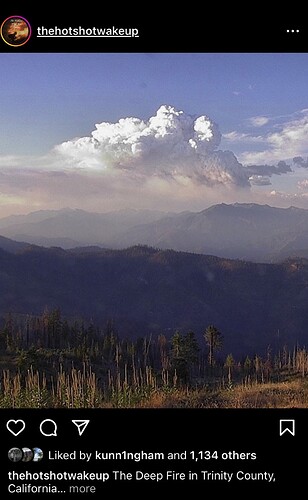
State ID: CA
3 letter designator: SHF
Fire name:Upper
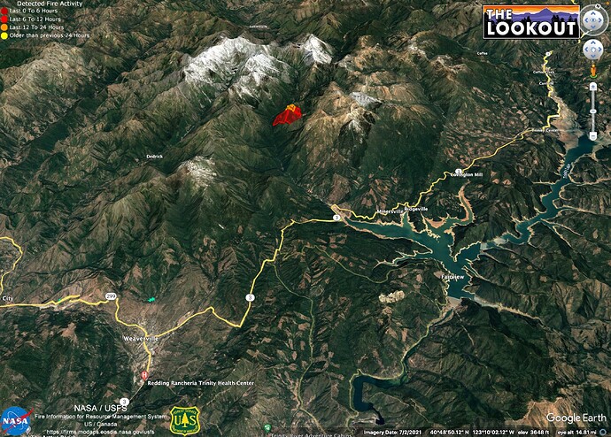
Location: 40.931550, -122.938967. North west of Trinity lake, in the steep country.
Reported acres:unk
Rate of spread: unk
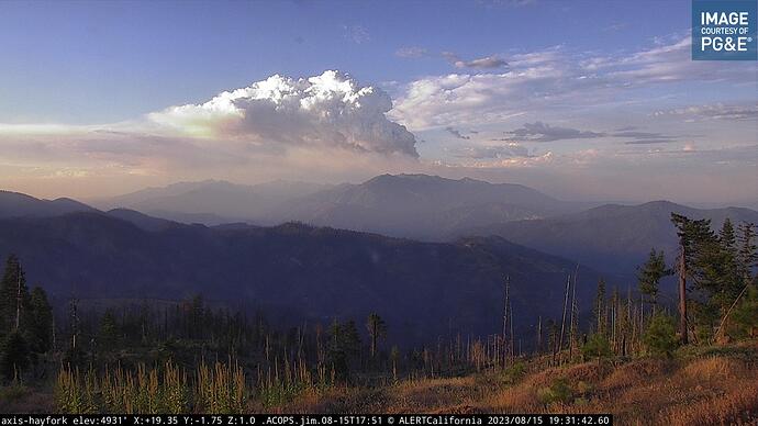
Report on Conditions: I have little information, but the fire has really picked up in size and activity in the last few hours. Multiple aircraft working the incident.
Structure threat:
Resources:
Hazards:
Weather:
Radio channels:
Scanner link:
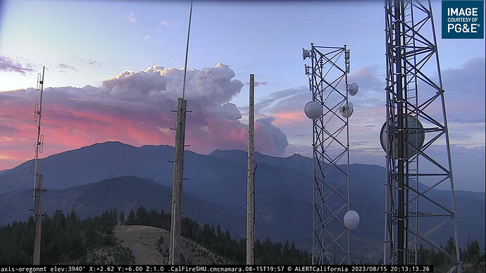
Webcam link: ALERTCalifornia, ALERTCalifornia - Oregon Mtn 1
Agency Website:
Could you guys possibly be looking at the one on the Klamath? Not sure where the reference point is to that?
Watch Duty has this as the “Deep Fire” ? Confirm?
it is possible the column we are looking at is the Klamath fire. They were working aircraft heavily at these coordinates earlier. SHF has it as the Upper, but it could be a different fire.
Points for the Upper and Deep Fires are very close together. Not sure which they’re ordering under.
https://cameras.alertcalifornia.org/?pos=40.7202_-122.9796_10&id=Axis-OregonMt
Hard to tell if this is the Upper or the Head
Per ONCC
150 acres timber, 0% contained. Fire is located in the Trinity Alps Wilderness. Fire has a moderate rate of spread with short range spotting
This fire is now the Deep per North ops, 500 acres

