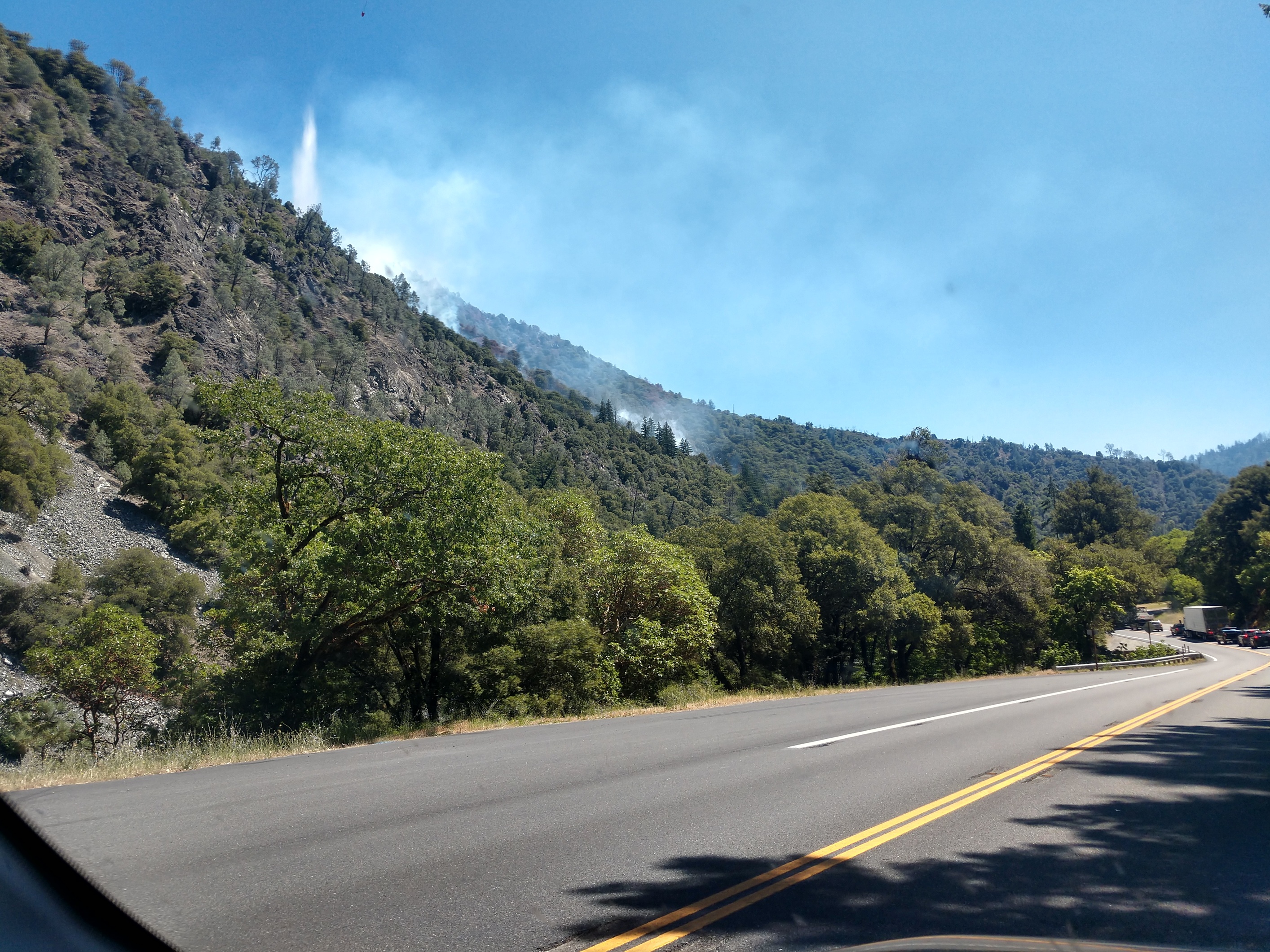
New Fire in SHF near the Cedar Flat Rest area.
Highway 299 at cedar flat, Vehicle accident with fire into the vegetation.
New Fire in SHF near the Cedar Flat Rest area.
Highway 299 at cedar flat, Vehicle accident with fire into the vegetation.
AA50, Jumper 52, Tankers 95, 96, Helicopter 506, 102
Satellite showing growing heat signature.
Tanker 94 and 160 are now committed to this incident.
got a camera on it?
Which satellite feed works best for heat signatures?
Spent a week on the Flat Fire here in 2012. Steep area.
http://www.alertwildfire.org/shastamodoc/index.html?camera=Axis-OregonMt&v=81e003f
Catches drift smoke
Fire is reported to be around 20 acres, 299 closed in both directions.
Any update on acreage?
Per Shasta Trinity N.F. Fire is now 35-40 acres
80-100 acres now.
https://twitter.com/ShastaTrinityNF/status/1278138804809785345?s=20
Too bad. Team 14 was just staged there for the last 5 days.
The wind looks to be decreasing overnight and into tomorrow. And, the overnight recoveries look decent. That is bad fire terrain.
This is from kymkemp.com.
GOES-17 Natural Color-Fire loop from yesterday afternoon for northern California:
https://rammb-slider.cira.colostate.edu/?sat=goes-17&z=4&im=60&ts=1&st=20200630213117&et=20200701050117&speed=130&motion=loop&map=1&lat=0&opacity[0]=1&hidden[0]=0&pause=0&slider=-1&hide_controls=0&mouse_draw=0&follow_feature=0&follow_hide=0&s=rammb-slider&sec=conus&p[0]=cira_natural_fire_color&x=7357&y=3386.5
Dozers working from 299 upslope, 1/2 mile east of origin.west flank appeared non navigable due to sparse fuels,near vertical terrain.