State ID:Shasta - Trinity National Forest
3 letter designator: SHF
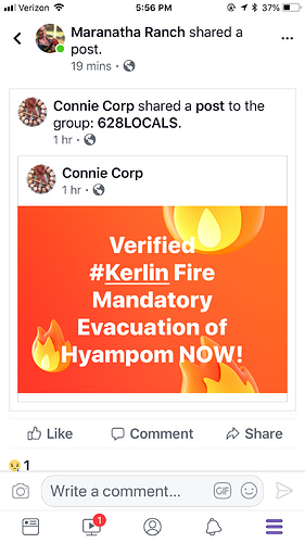
Fire name: Kerlin
Location: Kerlin Creek Road, West of Hyampom in Trinity County
Reported acres: 90
Rate of spread:
Report on Conditions: Hit hard by Air Attack yesterday, retardant drops, 10% Containment
Structure threat: None
Resources:
Hazards: steep rugged terrain -
Weather:
Radio channels:
Scanner link:
Webcam link:
Agency Website: https://inciweb.nwcg.gov/incident/6189/
Hearing a Type 2 IMT on order. I think NorCal 2 is up on rotation
Goes-16 shows this fire coming to life!
http://rammb-slider.cira.colostate.edu/?sat=goes-16&sec=full_disk&x=4447&y=3182&z=5&im=12&ts=1&st=0&et=0&speed=130&motion=loop&map=1&lat=0&p[0]=20&opacity[0]=1&hidden[0]=0&pause=0&slider=-1&hide_controls=0&mouse_draw=0&s=rammb-slider
This had all the heavy fixed wing out of Redding committed before the Delta fire. They had to load back at Redding before diverting to Delta. Had no fixed wing for a while during Delta, then Santa Rosa/Ukiah launched some S-2’s and now some T1 tankers and VLAT911 are enroute. Two major incidents on the SHF in 24hrs.
Per inci web 1500 acres and no containment listed
Per Inciweb fire size has been downgraded, night IR mission put that fire at 975 acres.
Hopefully will update after meeting.

