Wildfire Intel
CA-SHF-Lava(3-4?)??
California & Hawaii Hotlist
Questions and Discussion
fishcop
June 27, 2021, 10:35pm
57
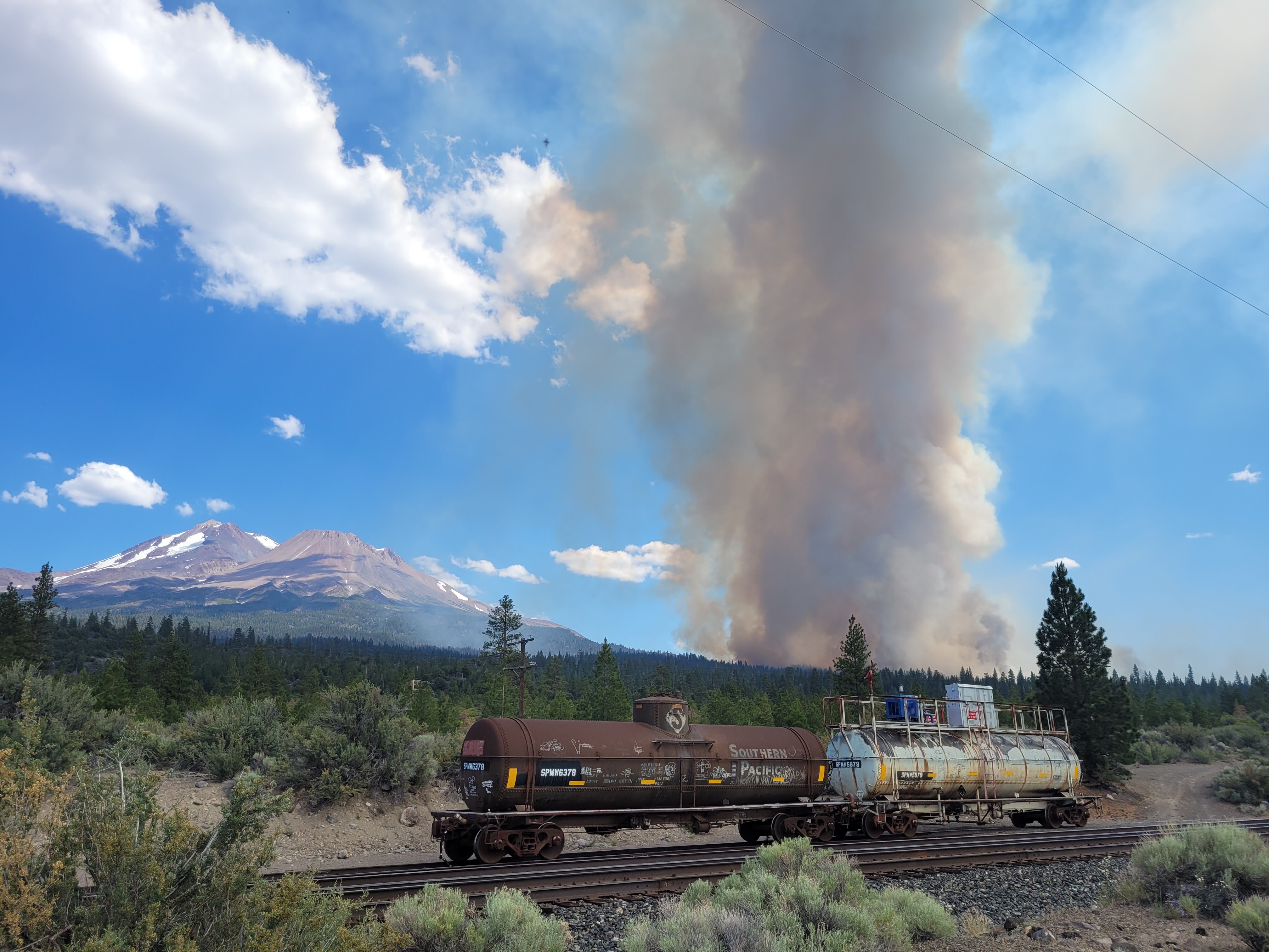
The fire train is here… Or at least the tank cars are.
16248332785678693780260191496172
4032×3024 1.71 MB
12 Likes
show post in topic