Confirmed SHF
1 Like
Northern Siskiyou County Fire/EMS (broadcastify.com)
I think this is it

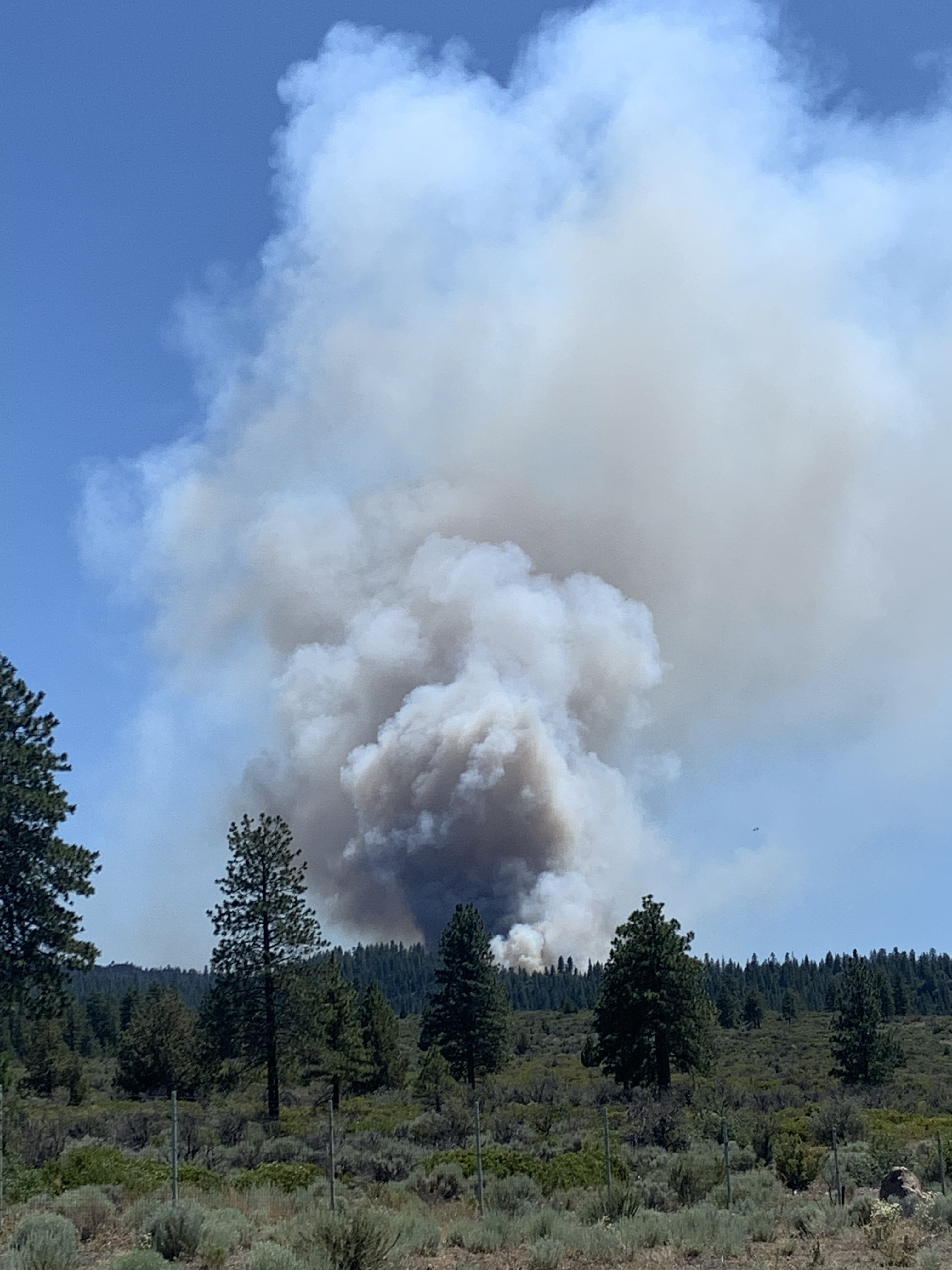
Watched it from about 2100 last night, was well visible on cameras all night
2 Likes
I saw that and thought the same thing OMFG
2 Likes
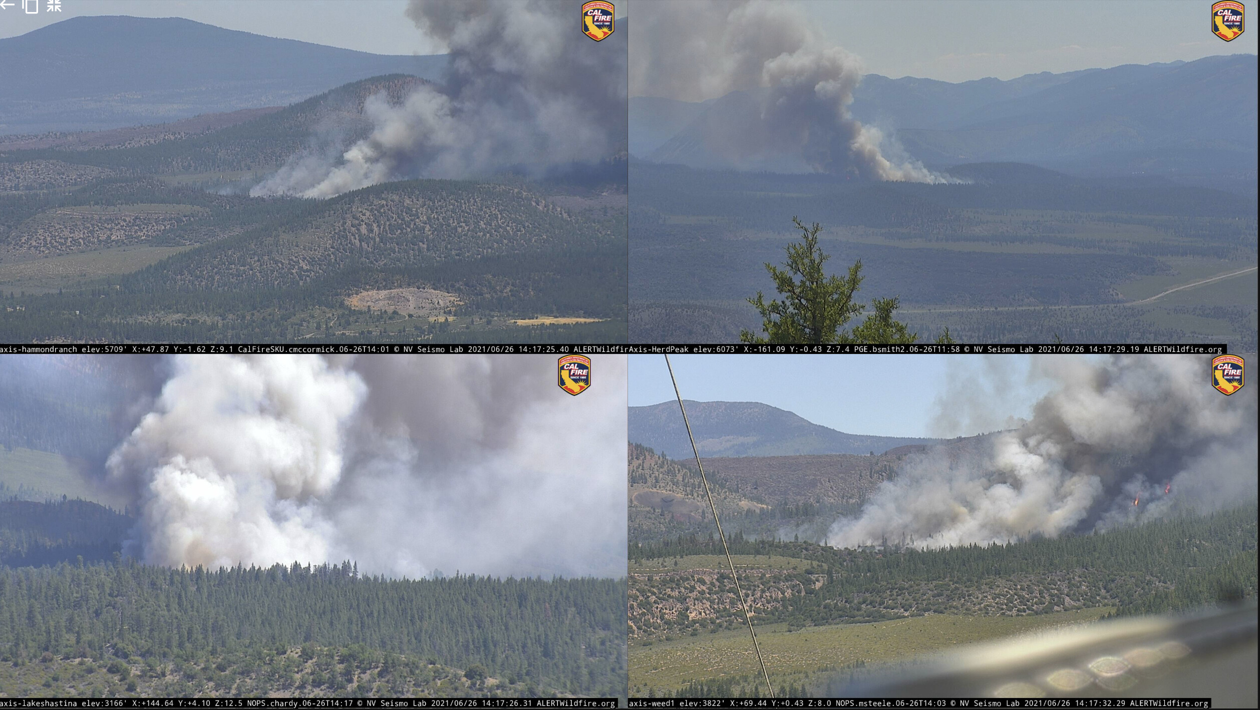
looks like a spot way in front of main head
3 Likes
Kind of interesting patterning in some of the historic fires around the North slope of Mt. Shasta. On a lot of them, the dominant spread direction has been cross-slope.
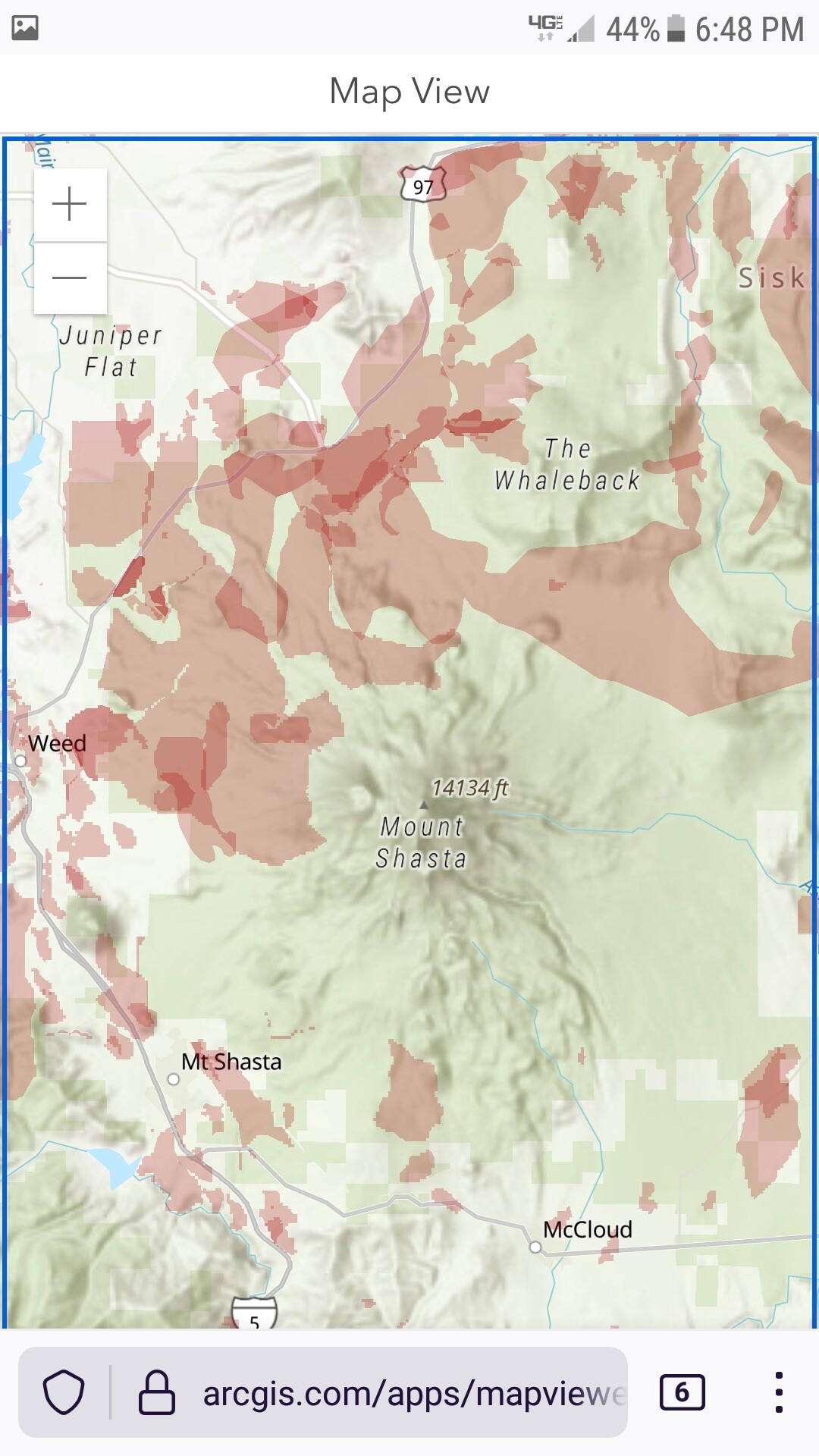
Map source: Map Viewer
5 Likes
Is this in part of the footprint from the Hotlum fire in Feb 06? It may have been called something different. Expect a big downslope right at dusk when the shadows hit the mountain.
3 Likes
It should be just west of the Hotlum scar but running the opposite direction of the Hotlum.
1 Like
Fire Weather Watch posted for the area for Monday for strong SW winds and low RH… single digit.
My guess is plume dominated fire and sharp reversal of the spread to the NE.
Let’s hope they are planning for that… I know its going into the wilderness, but it can also come out of there…
1 Like
Established spot out in front of the head.
3 Likes
Zeke, I am not to familiar with the county. Understanding that it’s still early, what are you thinking for a potential final acreage on this one?
1 Like
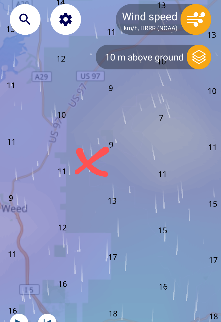
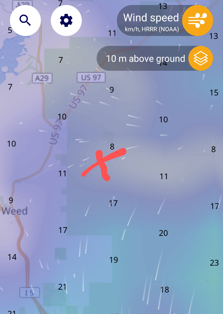
Looking at the NWS Forecast Discussion and other sites, it looks like the S winds are forecast to be in place for a few days. Overnight recoveries don’t look too good (~45%). The earlier post about downslope winds as the Mtn atmosphere cools is correct. We typically see that on warm days. Hope that and the S winds help. Not easy terrain up there.
1 Like
In the IA thread there is a spot weather forecast for the fire area
I saw that, but the FWW includes the area. Not sure the spot weather forecast captures the potential of down slope winds tonight.
Haines of 6 on Monday with single digit RH and winds from the S/ SE is not a good sign of things to come for this incident.
1 Like