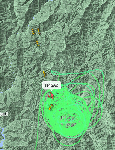
Could it be that they disappeared from tracking when they got near the fire (low to ground and not tracked) and then reappeared after drop on the way to reload? Sometimes that happens in remote areas.
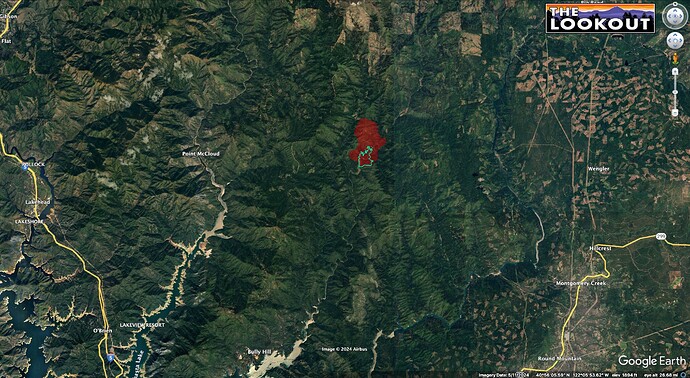
VIIRs heat satellites put it at about 1,200 acres at 02:00.
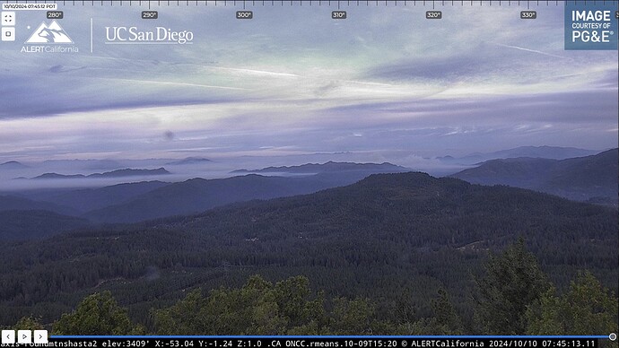
It looks like most of the fire is under a smoke inversion, this morning. Sounds like the night-flying helicopters had to bail out about 23:30 last night due to bad visibility.
Kuddos to our ONCC and OSCC GAC Managers for keeping crews busy on other fires here in R5! They got LP, Groveland, Redding, Shasta Lake, Lassen & Springville IHC’s on the road to this fire last night. That’s some incredible horsepower for this fire.
SHF-Shoe extended attack frequencies assigned:
Air Tactics: 167.0625
A/G: 166.6125 and 167.950
Victors: 125.125 and 132.575
I’ll update the Northern Sac Valley Fire feed out of Tehama County.
Starting to wake up now.
FireWatch 51 enroute to map from mapping mission on the Peak Fire @ 12:00.
Update to Air Tactics FM, change from 167.0625 to 169.150, effective now, due to interference.
They’re prepping SHF Service Net to eventually switch Command to. The feed has both.
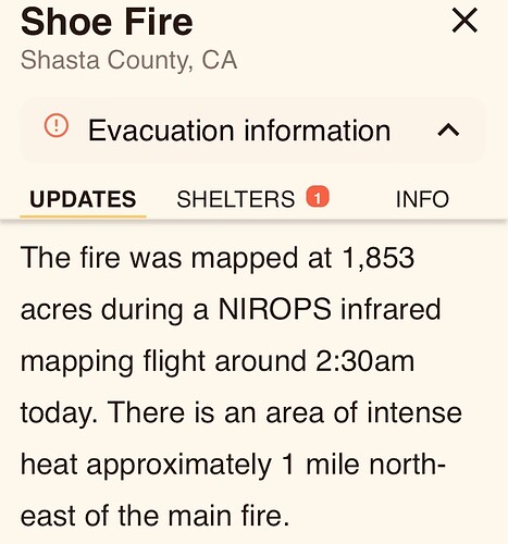
1351 acres
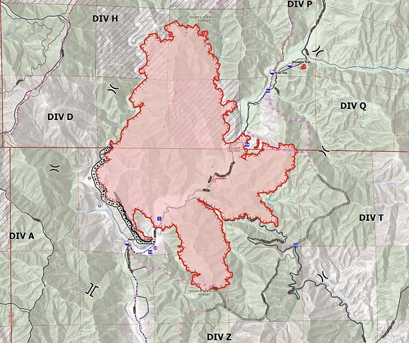
The fire has been mapped at 1,371 acres per Forest Service Intel aircraft.
What exactly is #fullsuppressionstrategy #fullsuppression ?
The Inciweb page has a pretty good synopsis of the 209 (situation status report), it looks like:
According to the IAP and Inciweb, they aren’t staffing the NW flank of the fire today, which looks like it will likely reverse slope and run up toward Curl Ridge, to the west at some point.
I did a brief video interpreting last night’s IR along with today’s IAP this morning:
https://www.youtube.com/live/rUR_603rGzA?si=MlghJH56Ng94s9L4
Posted an intel summary on this morning’s Lookout Livestream:
https://youtube.com/live/m4h0lPL2ESM?feature=share
Seems like the smoke cleared out enough for some tanker work and night helco.
What is the suppression strategy on this fire?
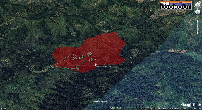
They’ve fired the SW corner, and are building ridgetop dozer line around the east side. It’s backing to a creek on the west, but the IAP hasn’t shown any staffing on that area, think maybe they’re prepping Curl Ridge to the west? The Inciweb page has Div-specific narrative.
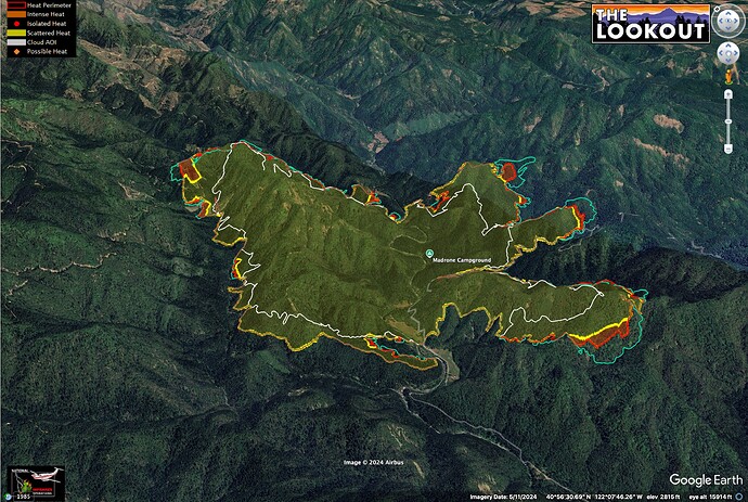
Map shows last night’s IR. White line shows 2 days of growth. The turquoise line is this afternoon’s flight. View toward NNE.
Seems like they have been getting really good fire effects, but the fire has also smoked out Redding for a couple days, and has brought haze to much of the Northern Sacramento Valley. No free lunch on smoke impacts…
Air Attack has ordered 5 large air tankers & 2 very large air tankers (VLATs) if available, for retardant drops on the south end of the fire per radio traffic.

