This one had a lot of heat this afternoon. Latest flight says only 31 acres but would seem to have some potential based upon location and amount of heat it was throwing off late this afternoon. Near the Trinity/Shasta county line north of Lewiston. Unsure how close this is to Carr scar at the moment. Will show blurry image from GOES Geocolor. Would expect this to garner some more attention tomorrow by state resources.
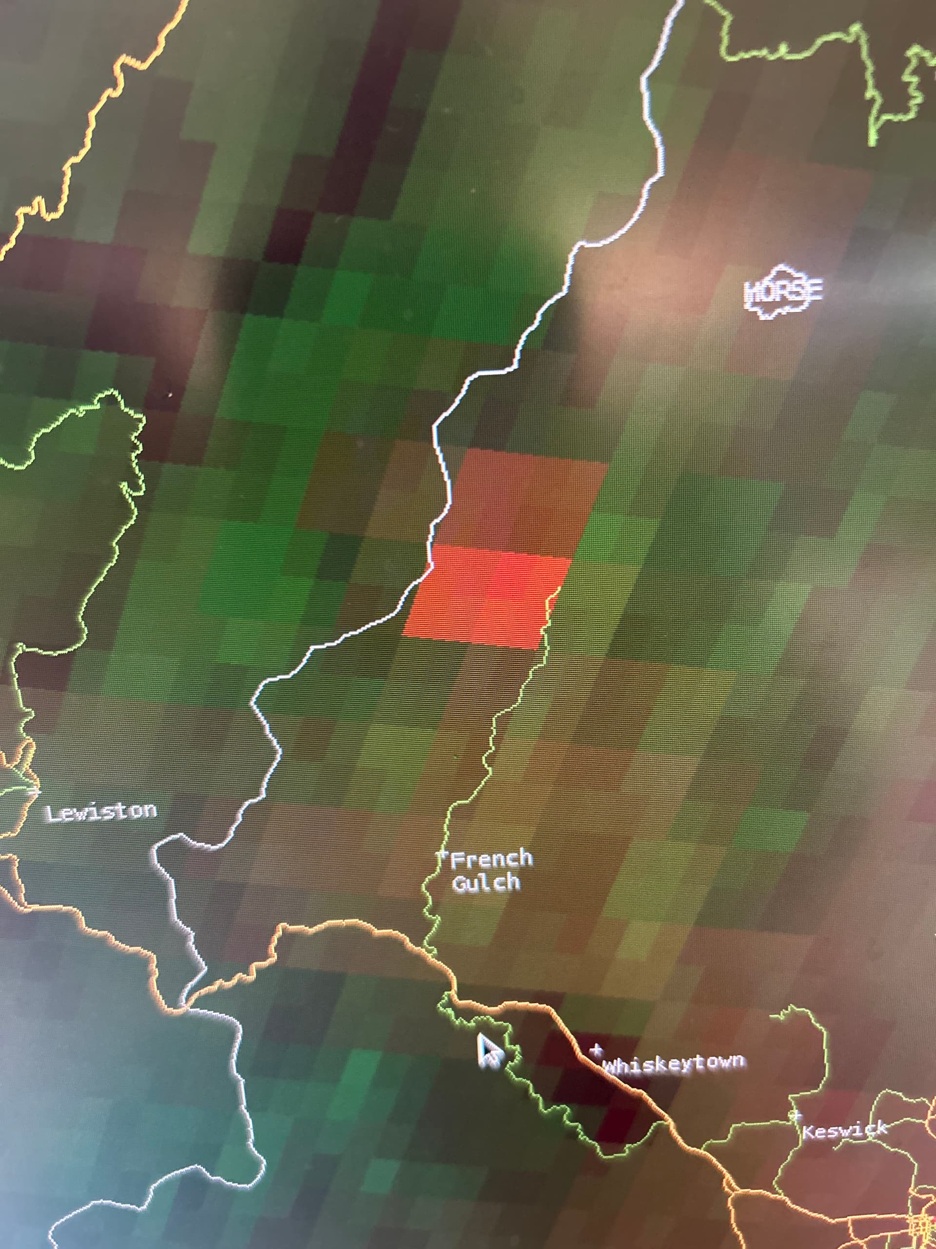
4 Likes
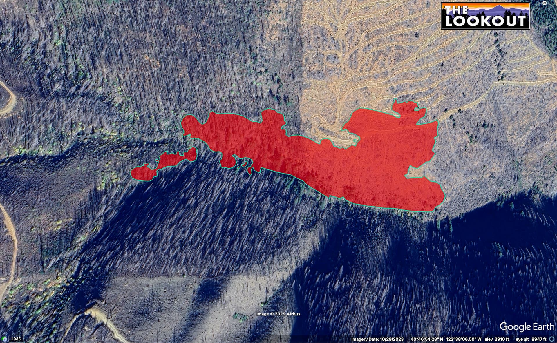
The fire does seem to be burning in the Carr burn scar but it doesn’t look like a high severity burn area. It still looks like it has a good amount of fuel to burn.
3 Likes
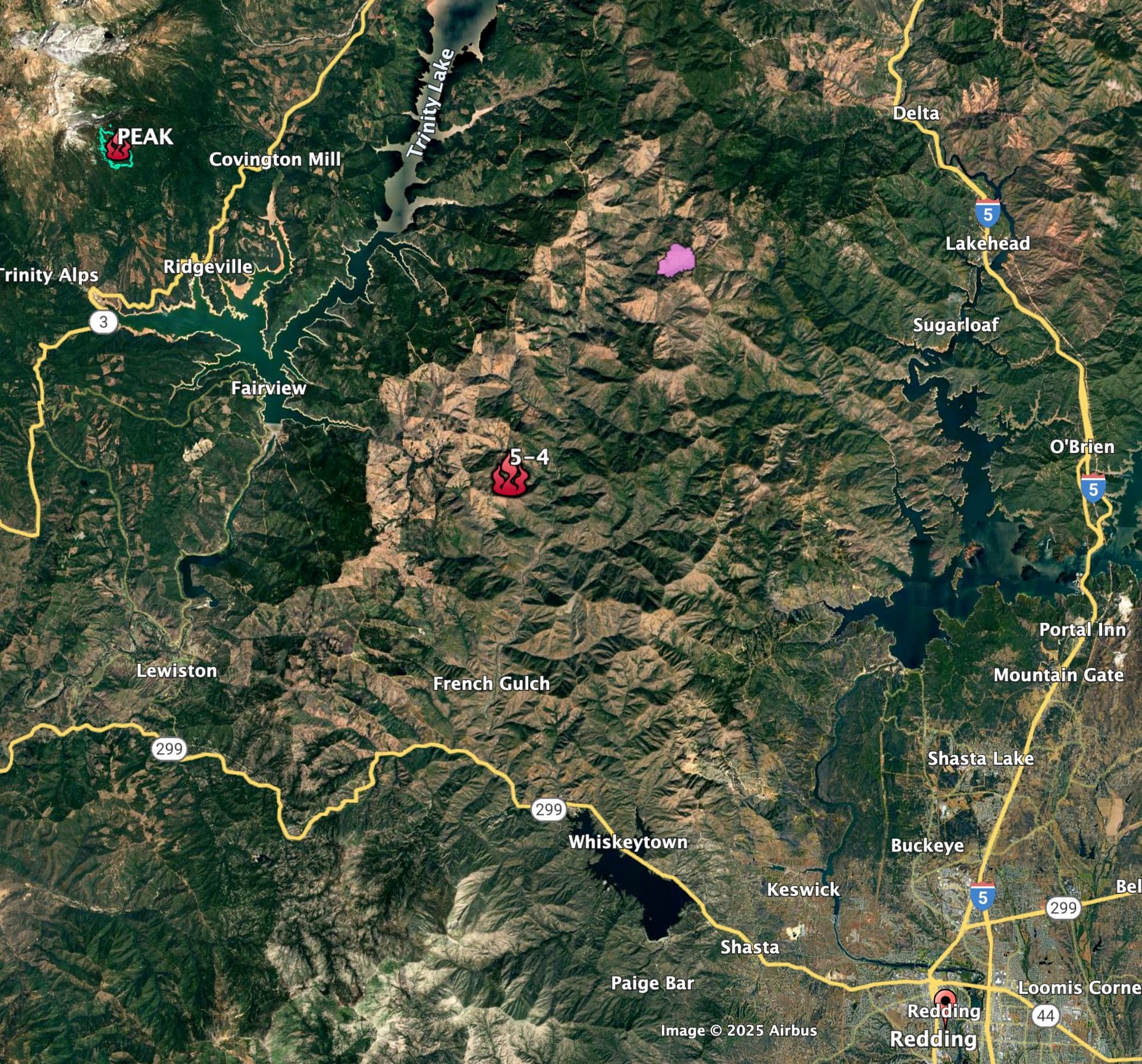
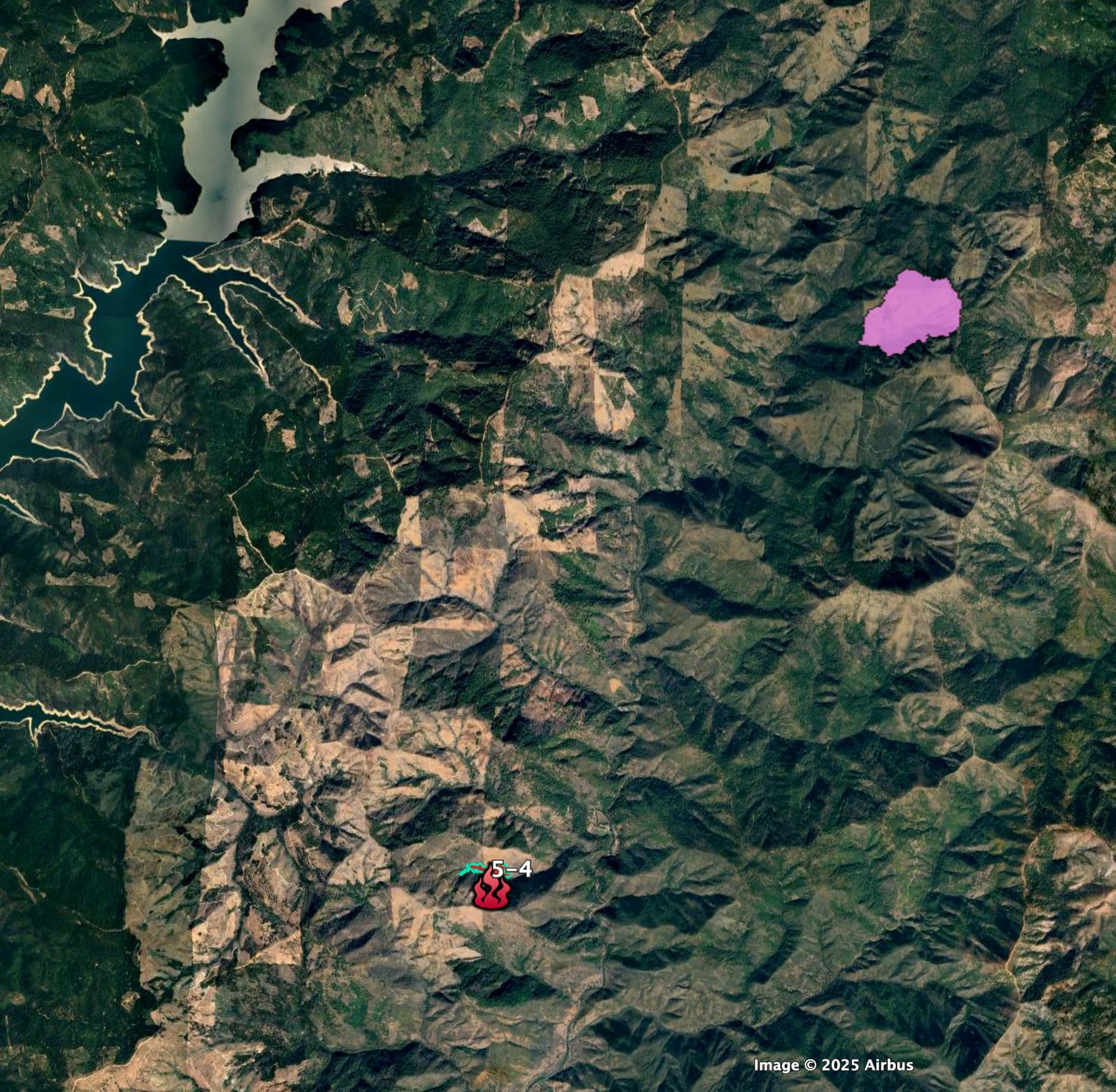
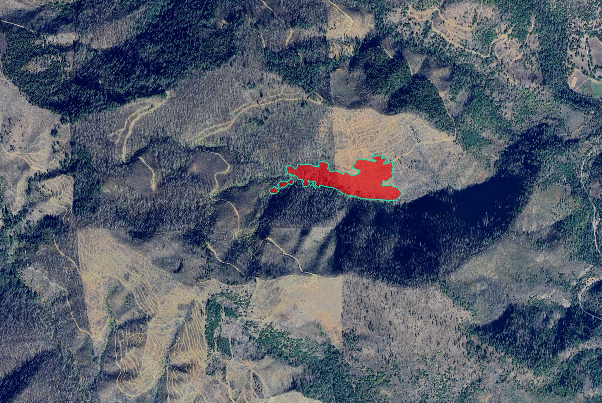
This fire is within the 2018 Carr Fire scar. It looks a lot like the Horse Fire, from July (pink on the following maps), in that it’s on both salvaged SPI and un-treated USFS ground.
It looks like this area of the Carr Fire was a high severity burn - very few green trees within a half mile of the fire.
9 Likes
Fire is now 25% contained per Cal Fire
4 Likes