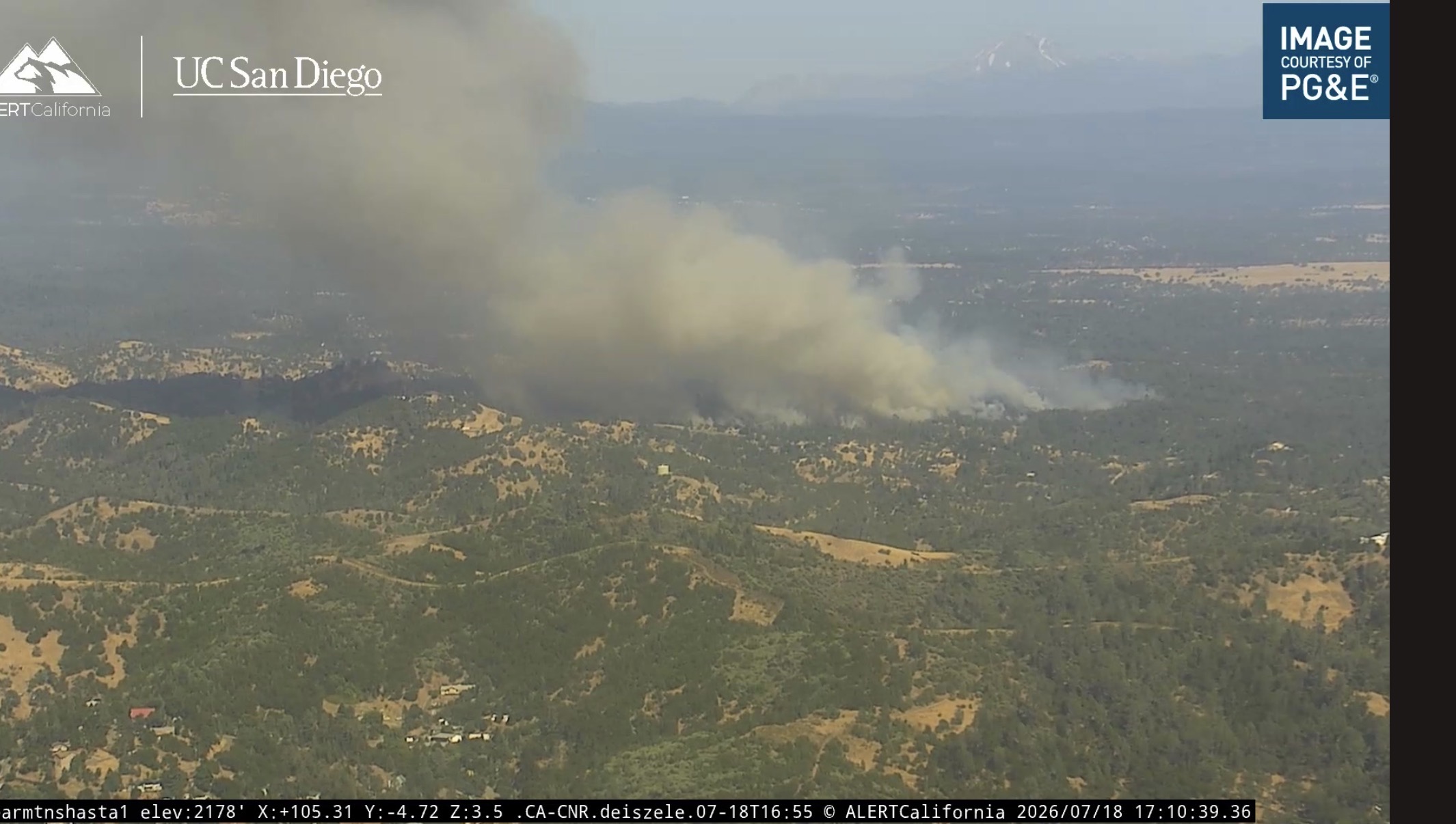
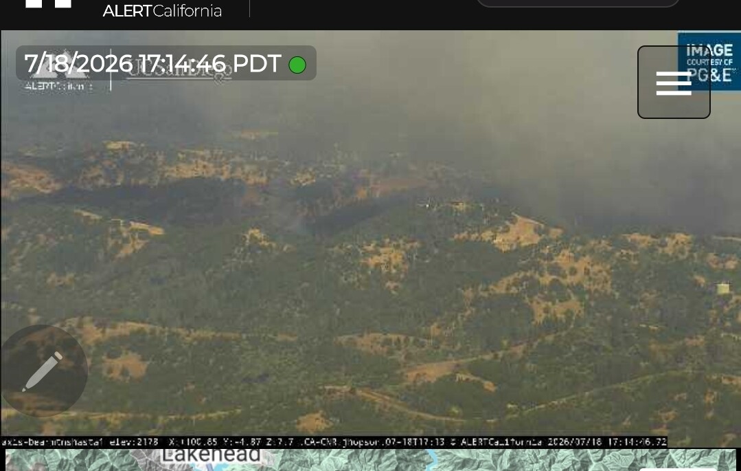
AA says tripled in size since he came overhead
Spotting out ahead now.
Current Wx Obs from a station close to the incident..
Temp = 102
RH% = 11
Wind = ESE @ 2mph w/ gusts to 7mph
Edit: Updated Wx as of 1754.
Current Wx Obs from a station close to the incident..
Temp = 100
RH% = 14
Wind = S-SW @ 4mph w/ gusts to 7 mph
Spotting ahead and off to the side.
IC: 30-40 acres, several spots, moving to the North and will be extended.
Lots of fire history between there and Lake Shasta.
Link to Current Evac Map..
Definitely a spot out there.
Radio traffic. 3 medic units ordered for an IWI. 6-7 minor to moderate burn injuries.
Additional air resources released from RedBluff incident, heading to Shasta for this incident.
(Tanker drops currently holding in orbit for helicopter(s?) assisting w/ medical).
Tanker drops resuming…
Requesting 2 night copters.. for day copters 1 copter down mechanical one on delay for the iwi.
spotting ahead still by 100 yards out. and something about backbone ridge
requesting 4 additional type 1 tankers
Not sure about the exact difference between these two feeds, but this scanner likely doesn’t have dispatch traffic: Shasta County Fire and CalFire
sounds like 200 acres ish
backbone ridge spot…IC adding a Division Romeo for that