
Maybe Hwy 44 near Cow Creek per CHP??
http://www.alertwildfire.org/shastamodoc/index.html?camera=Axis-HighlineTrail&v=fd40729
http://www.alertwildfire.org/shastamodoc/index.html?camera=Axis-InksRidge&v=fd40729
2 Likes
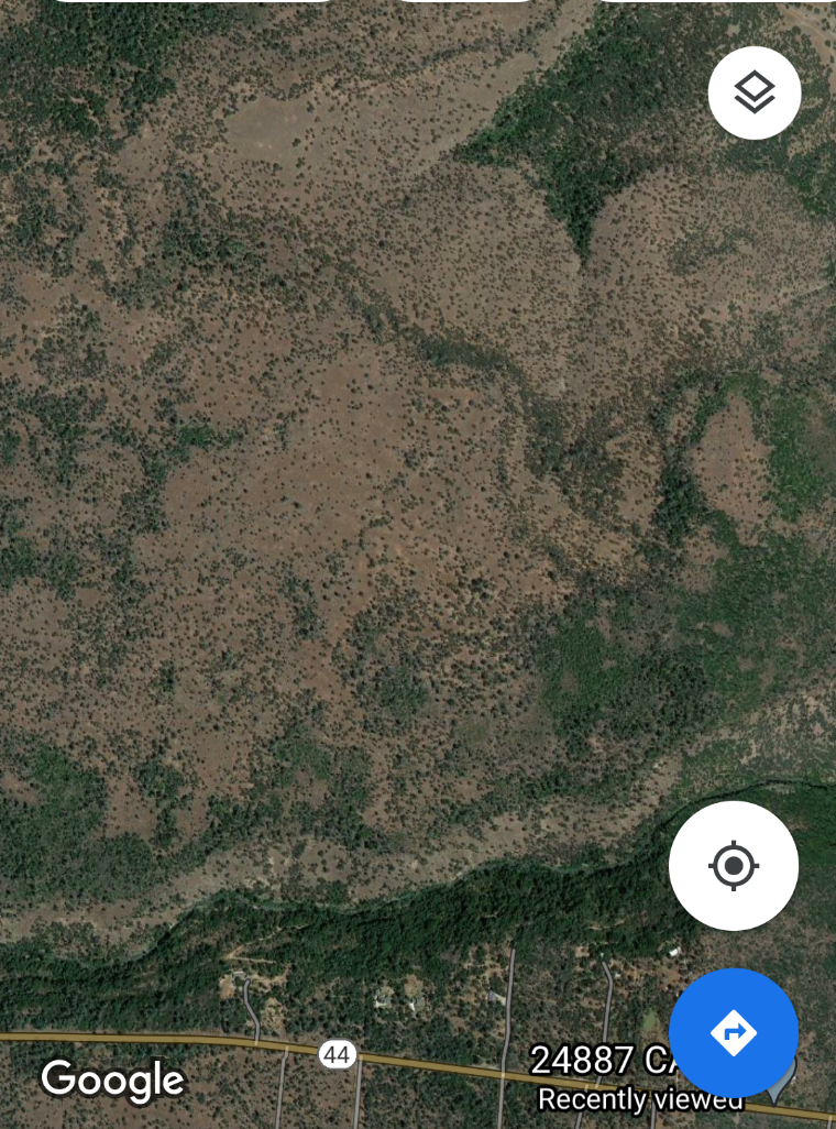
On 24887 Hwy 44. 10-15 acres per 1st engine on scene
1 Like
Called the Cow incident
1 Like
5 additional type 3 engines.
1 Like
1 Like
2 additional water tenders
1 Like
Per AA 30-40 acres holding above cow creek. No spots, but lacking confidence in that remaining…1559 hrs
I believe it is actually Bear creek but may not be worth the correction
3 Likes
Multiple spots north of the creek @1613
150 acres per AA
Immediate need type 3 st
2 divs
4 crewa
6 Likes
Appears to very well established now North of the creek
5 Likes
Augmented resources
Engines from in unit
Dozers from out of unit and far east side.
Type one AT ETA 1730🤦🏻♂️
Lead plane or ASM requested
Downwind Column becoming turbulent,darker and pinned down
4 Likes
Resource order
2 division
1 staging officer
6 tenders
8 Type 3s
5 any type with a leader for structure protection
5 dozers
4 crews
ICP @ STATION 21
3 Likes
Camera cross puts it about here, though the camera pair isn’t great for a real tight location… https://goo.gl/maps/EPeFE9LTr6c1UV416
4 Likes