State ID:
3 letter designator:SKU
Fire name: Shackleford
Location:Shackleford trail head
Reported acres:10-15ac
Rate of spread: Moderate
Report on Conditions:
Structure threat:No
Resources:Cal Fire Sku and multiple local gov
Hazards:
Weather:
Radio channels:
Scanner link:
Webcam link:
Agency Website:
Location given is well up Shakleford Creek. Pretty tough access, especially if it gets into the Marble Mountains Wilderness. The road shown nearest the fire is washed out near the 43N21 road. There is heavy smoke in the area from all the other fires.
Fire is moving toward Big Meadows
There are satellite heat detections from this fire that are 6 hours old. Looks like it started last night, but wasn’t seen due to the heavy drift smoke. It also appears that there is a possibility that is is already burning on both sides of Shackleford Creek.
Updated to 40ac
Did they catch this one?
I wouldn’t say that they’ve caught this one yet. But according to CAl fire people in the know they have a hose line down the west (udpstream) flank, a crew in the bottom of the creek, some dozer liine, and a hose line a good bit down the east (downstream) flank. No air work at this time due to smoke. Lots of hardware, engines, three dozers, and 7 water tenders.
Fingers crossed.
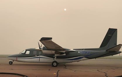
AA05 was out this morning but had to climb to 12k feet and couldn’t see through the smoke. This afternoon he could see 3 distinct smokes and agreed with IC’s estimate of 50 acres. Said it was too dicey for helicopters. Here’s the post on Siskiyou Alerts: https://www.facebook.com/groups/SiskiyouAlerts/permalink/1221218474930210/?
Doesn’t look like Air Attack 05 will be lifting off Siskiyou tanker base anytime soon.

Fire is looking good held all night with no issues. Alot of mop up of heavy fuels. Very steep making it difficult to mop up.
37 acres per IC
