State ID: CA
3 letter designator: SQF
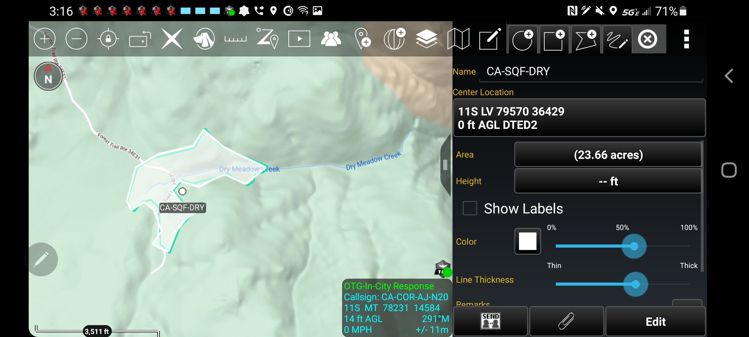
Fire name: Dry
Location: Dry meadow, Piute mtns.
Reported acres: unknown
Rate of spread:
Report on Conditions:
Structure threat:
Resources:
Hazards:
Weather:
Radio channels:
Scanner link:
Webcam link: ALERTWildfire | Sierra-Foothills
Agency Website:
1 Like
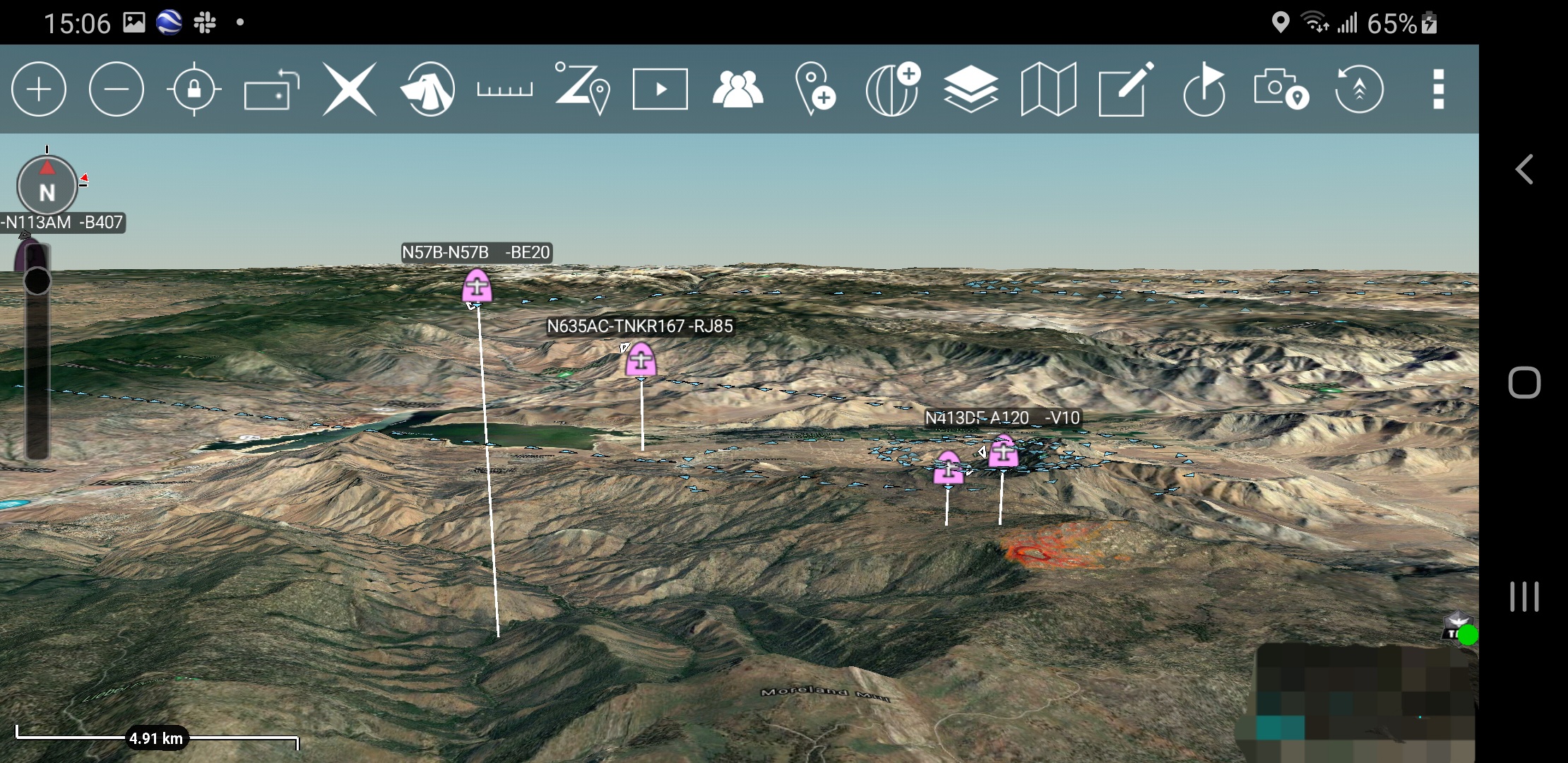
Looks like 3 S2, a LAT and a Helitanker working it per Flight Radar 24.
http://www.alertwildfire.org/sierra/index.html?camera=Axis-BirdSprings1&v=7a7f1c3
Light smoke pushing down canyon on the camera.
Location per WildCAD INTERSECTION OF 34E31 AND 34E41.
Units assigned per CAD BC-43 BE-2 IA C-9 COB-4 IA PT-43 PT-45 PT-47 PT-49
3 Likes
FIRIS just about at scene should have a perimiter soon.
2 Likes
I beat you! in all seriousness a great example of what @DC3075 has built with Aircraft monitoring and the FIRIS program publicly streaming perimeters. Having all this and much more in a platform is super helpful for SA.
3 Likes
N8PQ is air attack and tanker 91 out of porterville is working.
2 Likes
N8PQ is AA-12 out of San Bernardino, one LAT was out of San Bernardino as well.
2 Likes