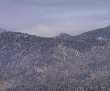
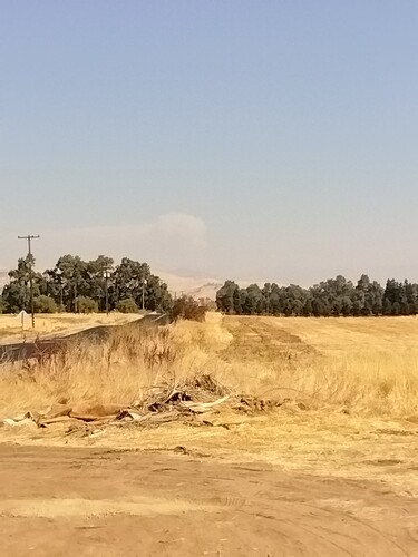
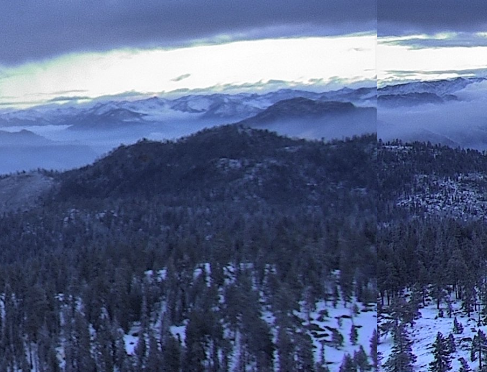
View from academy avenue.
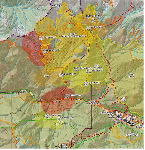
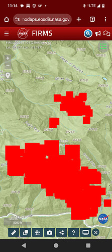
I believe I see fire already down to Hwy180 on MOIDS+VIRS signatures. Fire off from Hwy180??
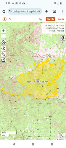
Caltopo map:
https://caltopo.com/map.html#ll=36.82413,-118.72418&z=13&b=t&o=f16a%2Cr&n=1,0.25&a=mba%2Cfire%2Cmodis_mp
It sounded like they were going to let it back down to 180 from what the last update said.
Firewatch 51 completed another fly over. There is no “Incident_specific” folder for Happy, so does someone have some better intel? I believe they brought fire down to the road if you refresh the caltopo . Burning conditions should be conducive to slow spread.
SQF sent at least one Crew, Cobra 1, to the incident today.
They have not fired from the road as of yet. The maps show IR signatures across the road as well and those are ghost signatures, it is not across 180. It was still sitting above Grizzly Falls last night and was marching up Wren peak yesterday. They are watching the Deer Cove Creek drainage and that is a trigger point for more activity on the fire. After a recon flight today Helicopter 522 planned to do bucket work but had to halt operations due to safety concerns with winds and civilians at dip sites.
Happy Fire Update - October 3, 2024, 10-03-2024
Happy
Publication Type: News - 10/03/2024 - 16:30
Oct 16, 2024 - Today Firewatch 51 mapped the fire at 5,027 acres which is an increase of 275 acres since yesterday with 528 acres on KNP. The fire continued to back into Highway 180 throughout the day, resources secured the highway from Grizzly Falls to Deer Cove Trailhead where they completed firing operations to secure the roadway. The fire was active in Deer Cove Creek and it spread to the East and Northeast toward Stag Dome. IR flights with UAS confirmed the fire has spotted on the east side of the Park Boundary near Stag Dome. The fire also continues to back into the confluence of Wren Creek and Grizzly Creek. Some smoke was visible on other parts of the fire with limited smoke visible on the SNF side of the Monarch Divide, however the IR flight shows there is still heat on the SNF side. Tomorrow operations will continue to secure highway 180 and has visibility allows they will work the helicopter on the spot fires east of Stag Dome to prevent the fire from backing down into Lewis Creek. Crews continue to build line and prepare to secure the SW side of Lewis Creek and Highway 180. Resources will also focus on removing any hazard trees caused by the fire along Highway 180. Caltrans is still in place providing daily traffic control with single lane closures or temporary full closures while hazard trees are felled along the roadway. Fire activity quickly dissipated along the highway and is expected to continue dissipating throughout the week.
Heard SQF P33 take the IC Monday. Believe that would place it in patrol status. Copters 520 and 522 have been making runs up into the burn. Also FireWatch51 is still mapping the fire every few days. No updates via inciweb since the 23rd and containment is still unknown.
But, its still burning slowly.
6303 acres on the spot weather forecast.
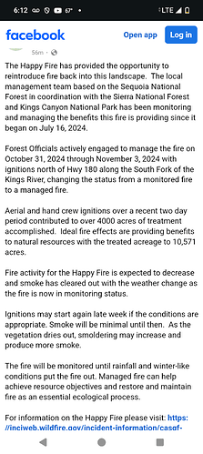
Patrol status is where this fire should stay until winter rain and snow take care of it. However officials on Sequoia NF, Sierra NF and Sequoia NP are working through the process to do a massive firing show for thousands of acres and turn this wildfire into a massive RX project. Ask questions, speak up.
So trying to do like the SQF did with the Alder fire down by camp Nelson except bigger?
That’s what they are doing.
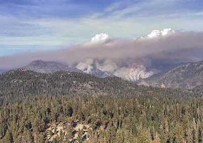
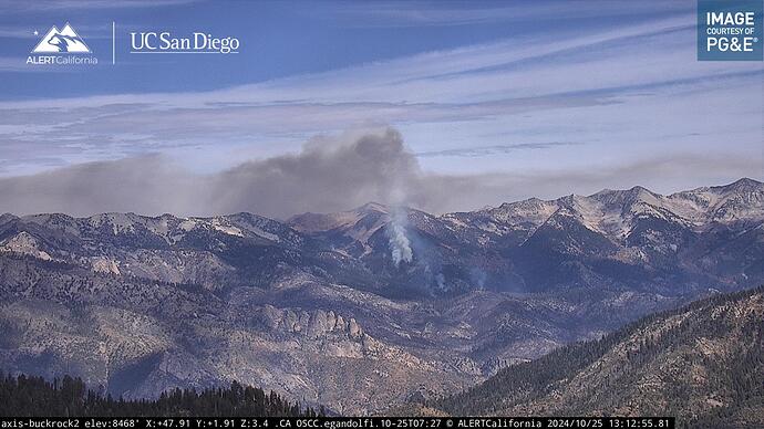
They fired wren creek west of Grand dike and there is fire north of the monarch divide west of silver spur and gorge of despair. They had 2 helicopters working yesterday.
https://ssl.arb.ca.gov/pfirs/index.php
I put the rx burn name in the title because reasons.
AA51 is over the fire.
Correctly titled now. Thanks Brush.
9320 acres.
per Inc: 10,325 ac/65 % containment 2 days old
The 2024 Kings Canyon N.P. Segment Prescribed Burn is underway. 450 acres.
