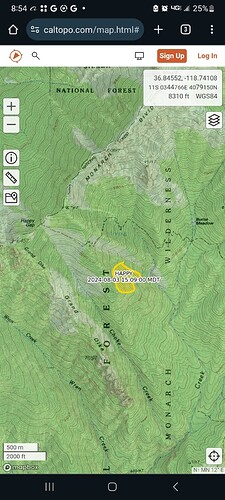
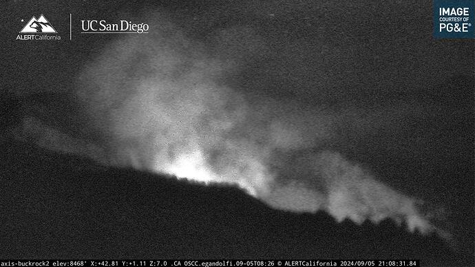
This one started on 7/16 and decided to pop-up again this week. Its on the north side of the south fork of the kings.
Isn’t that the SQF?
Yes it is.
Looking North East of Buck Rock would be in Kings Cyn NP
My mistake
Appears to be active already. Poor recoveries tonight.
Took a look at CAD and I don’t find but maybe 1 patrol dispatched to that area. Maybe they haven’t engaged??
Lookin active today on this one.
AA410 and tanker 76/78 I believe enroute to this currently.
The tankers turned around.
Yeah AA just flew back over us. Just gonna let this one run I guess 
657 acres and 50% contained
667 acres and 60% contained…active today putting up a column.
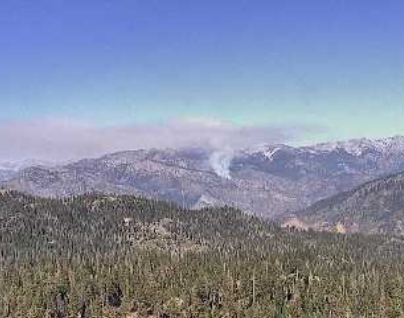
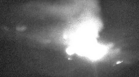
1346 acres as of Friday and fairly active tonight.
.
Moving up lewis Creek today.
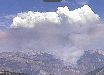
So is this being managed or is this a full suppression incident?
Being monitored.
Fire Watch 51 fly’s over it most every day. But, never states the acreage to Porterville over the air.
Probably just emails it to a chief.
1976 acres from today’s flight.
HappyProgressionMap_10032024.pdf (603.3 KB)
Week old progression map via inciweb.
3222 acres. still 60% contained.
Firewatch 51 flew this fire today (Saturday). I bet it won’t show on InciWeb for another 24 hours.
