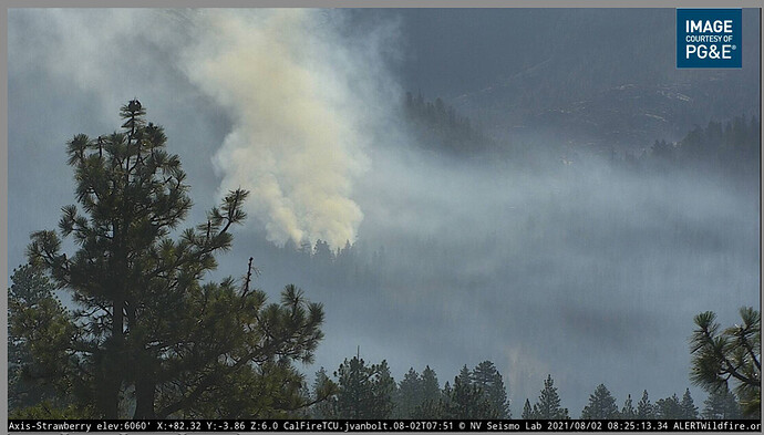
Info from WildCad.
Visible on Strawberry cam
08/02/2021 06:33 STRAWBERRY
Any updates appreciated. This is less than 5 miles from my house. Currently the wind is blowing away from us.
Is there a template for reporting?2021-08-02T07:00:00Z
Thank you all and be safe.
Thanks. ⁸
alex
August 2, 2021, 3:25pm
2
The template autofills on the IA forum — hopefully they’ll catch it before it gets that far!
3 Likes
Did you see spotting in lower right?
I think that’s dust from the road. It’s brown, not grey, and every now and then a vehicle scoots by. That’s what I see anyway.
1 Like
Yep. That’s what I’m seeing too.
i was on my cell small screen, looked like spots. pulled it up on computer for
1 Like
No problem - good luck to you.
2 Likes
