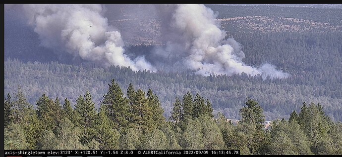
Inskip cam portrays an entirely different picture than the apparently frozen Shingletown Cam.
Shingletown cam been out of commission since 330 - no good ideas other than Inskip upwind
75 acres, critical rate of spread, AA requested 4 addl tankers
Weather
PGE Bluff Springs 98F 12RH W7G13 - Forward Rd at Ponderosa - right at fire
PGE Manton Ridge 97F 13RH SW 6G13 - out in front of fire to NE
PGE Power House Rd 103F 12RH W 7G11 behind and upwind the fire to SW
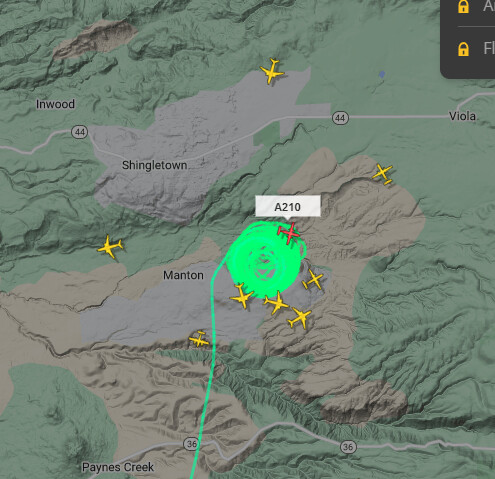
Can hear some aircraft traffic here
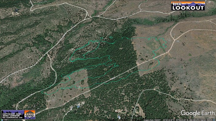
FIRIS providing a more sobering 25 acres total for the main and spots, both side of Digger Creek (county line)
AA taking 2 VLAT’s from MCC
Inskip cam showing numerous more spots out in front of the fire
Looked like a copter tried working one of them, but to no effect.
Per IC fire currently 35-40 acres
Intel ship just mapped it at 95 acres

There are at least 7 tankers in this shot , coming out of Redding and Sac
Im wondering if the Ponderosa burn scar from 10 years back is going to have any effect on this fire’s progression when it makes it to the site. Satellite imagry has that area looking incredibly sparse but it looks fairly lush on the cams.
From what I’ve seen from being there recently is that its really hit or miss. There is a lot of brush growing back but some areas are sparse. There’s definitely a good amount of fuel.
I posted this in the Q&A
Tankers 910 and 911 launching off MCC
In the last 15 minutes from the cams, it looks like they’ve dropped retardant all the way around it. 910 and 911 will definitely help reinforce what they’ve got down already.
Looking at weather stations in the area, the common theme is mid 90’s with low teen RH values. It’s already shown its intent to spot and with it moving into lighter fuels, I would anticipate them having a growing spotting problem here real soon.
Extended Air Freqs assigned to Forward
Air Tactics 163.6125
Air/Ground 159.345 (t192.8) CDF Tac 18
Rotor Vic 133.925


