Is this fire starting to change directions? Looks like it is getting a push to the north.
There were just mandatory evacuations issued up there, Chilcoot, Scott Road.
20,000 Acres 5%
Longer video of the tornado on the ground:
22,000 acres per NOPS this morning. Looks like it’s been active overnight. The fire area is under a red flag warning for today.
RAWS Stations are few. This ones south of it,
https://www.wrh.noaa.gov/mesowest/timeseries.php?sid=DOGC1&num=72&banner=gmap&raw=0&w=325
A post was merged into an existing topic: CA-TNF-Loyalton??
Complete wind shift from east to west is twisting the smoke column and probably the
spread. Battling winds the term, I believe.
north ops update at 1820: 29,828 acres grass and brush, 0% contained. The fire continues to exhibit extreme fire behavior, with wind driven runs and long range spotting. Structures remain threatened in the communities of Chilcoot and Vinton, with Evacuation Orders in place. California Type 2, Team 10 (Dalrymple) is in command.
Here is overnight VIIRs heat detection data - captured about 4am.
Outlying points may be inaccurate.

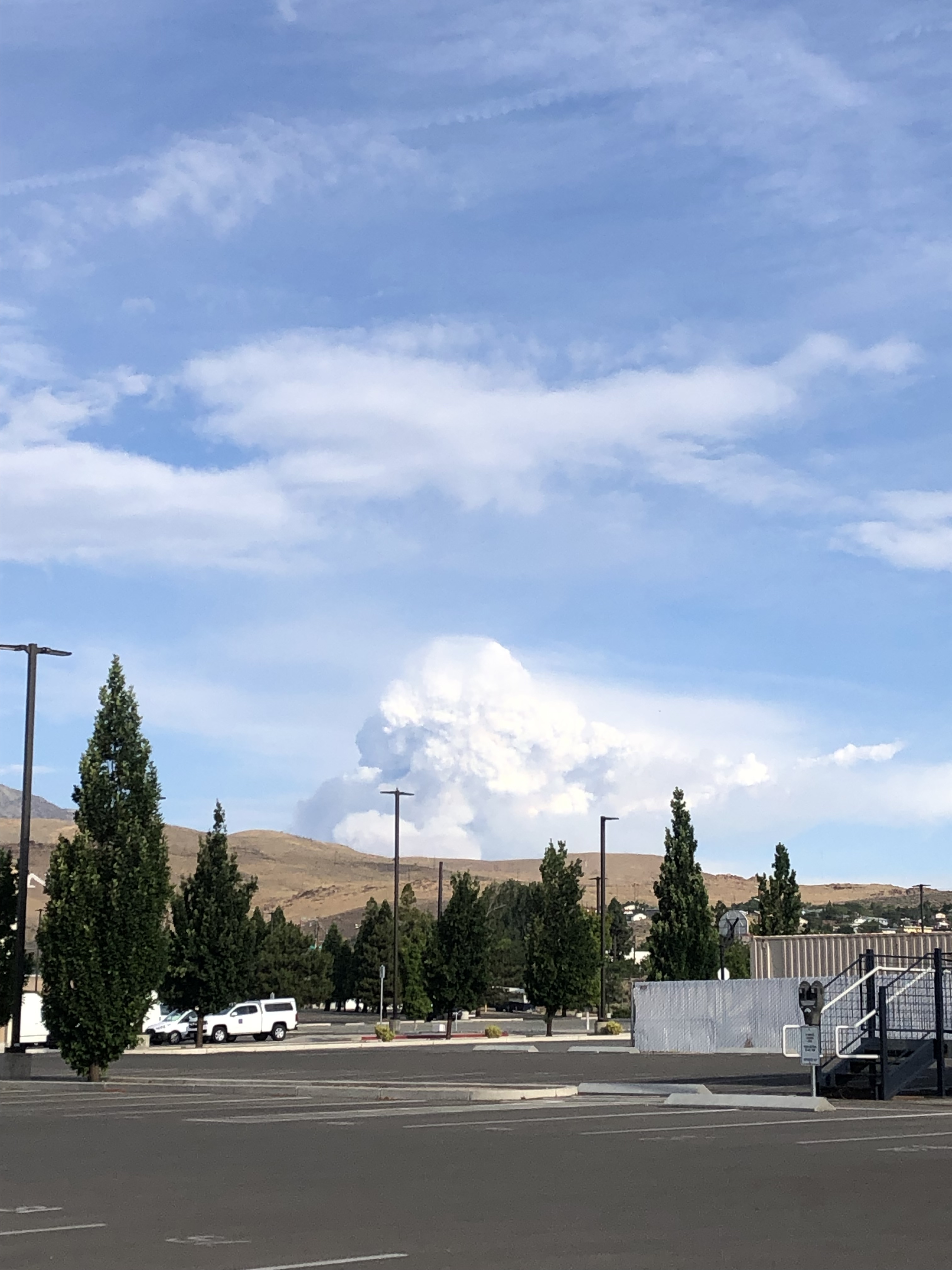
Smoke plume there hardy is.
Heat only barely see it on satellite.
Run out of fuel? or got too wet?
Ran out of fuel on 3 sides. Trying to tie it all in on the south side up on the divide…
It mostly just ran out of fuel, thankfully. As it gained intensity burning towards Cold Springs, it met the desolate wasteland that is the Mojave Desert. The south end of the fireline could move into fresh fuels but I doubt it as it is being tied off by fire crews. It’s a done deal. One less fire to have to worry about now!
Not to be the geography geek, but that would be the Great Basin Desert.