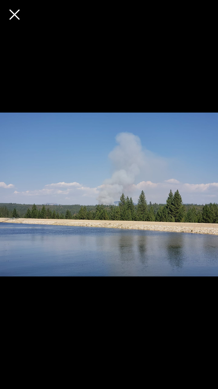
Looks like a new fire on 80 west of Emigrant Gap.
This is the North Incident. Currently 6 Air Tankers working the Fire. All Tankers on No Divert due to life threat.
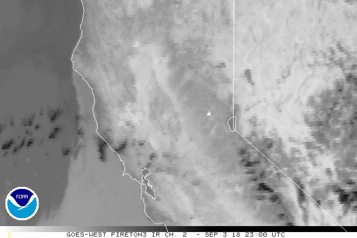
Smoke visible on the Mt. Lincoln Cam: http://www.alertwildfire.org/tahoe/firecams.html
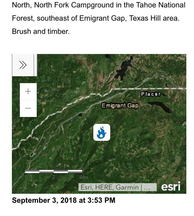
Across the river from the North Fork Campground on the Tahoe National Forest.
Access possibly via 19 forest road
No divert on air tankers due to reports of swimmer(s) cut off by fire.
1 Like
6 air tankers ordered.
AA says fire activity Is picking up substantially, multiple spots out ahead of the main fire, expanding the box of the fire (" its getting bigger fast" ).
Tankers so far assigned are T82 T88 T89 T93 + 2 large air tankers which are T12 & T107. No word on the person reportedly left behind, multiple spot fires w/ increasing fire activity. Fire eating through retardant on the southern side of fire.
1 Like
Sounds like it’s spotting pretty good and chewing through retardant, “this thing is doing whatever it wants.”
75 plus acres and crowning in Timber, VLAT on order.
150 acres now.
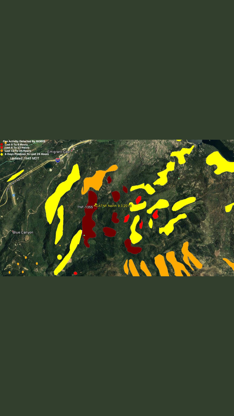
Pretty good cap on it now. Is this in the old Gap scar?
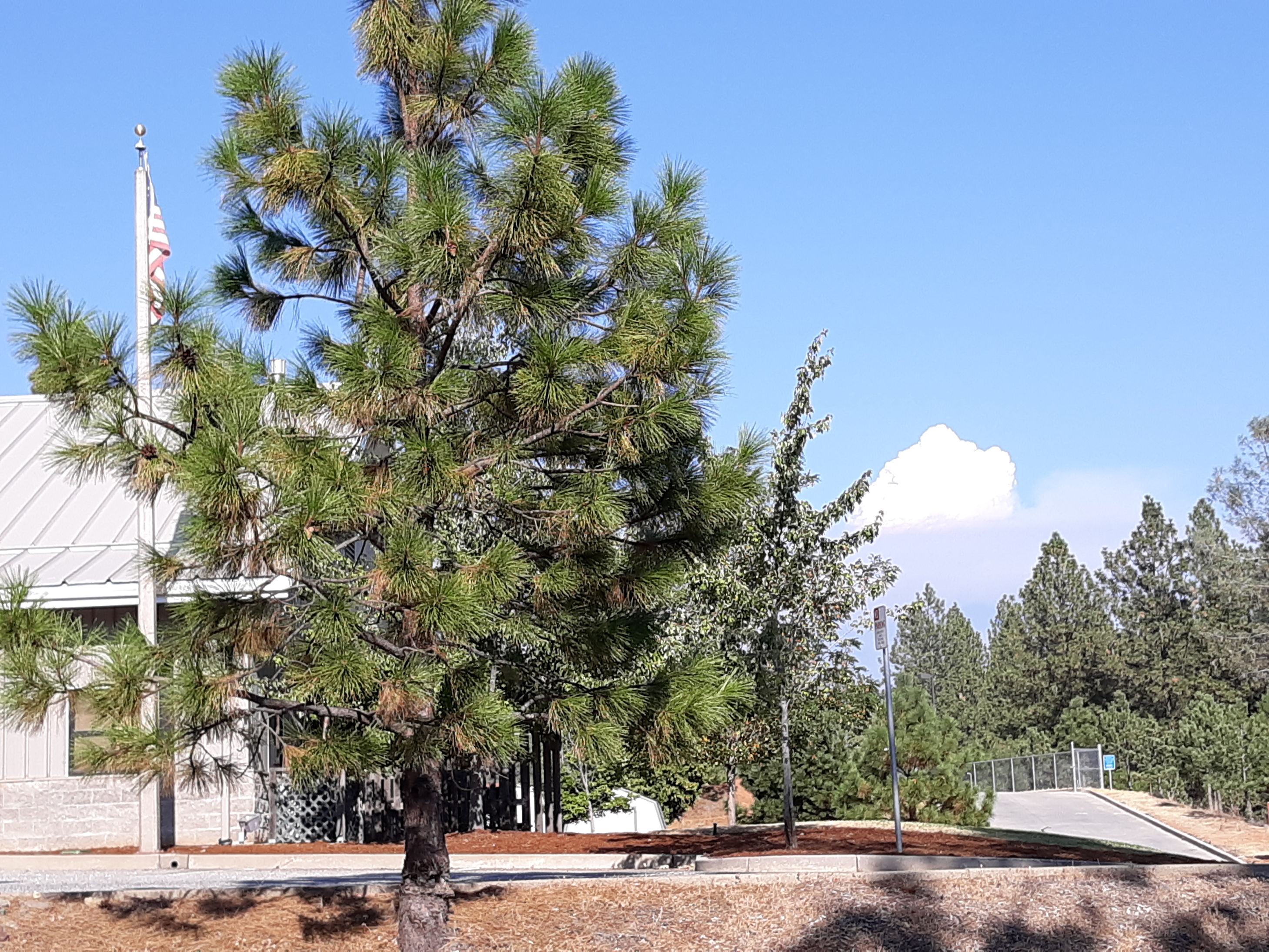
Air traffic can be heard here
Yes it is
Good ole tough country
1 Like
South of the Gap fire - not much history here it looks like.
Based on coordinates of TNF WildCAD, and other descriptions, it’s sitting right between Gap 2001 to the north and American River Complex 2008 to the south.
https://caltopo.com/map.html#ll=39.26695,-120.65666&z=14&b=t&o=f16a%2Cr&n=1,0.25&a=fire
T911 and 914 off MCC, and Redding just launched T10 and T40.
1 Like
Any SRA in the area or all fra
100 to150 acres per AT
AEU just Dispatched S/T 9271 © , Code 3 to the Fire
1 Like
S/T 9271C consists of B2711, E2758, E2759, E2762, E2771, E2782