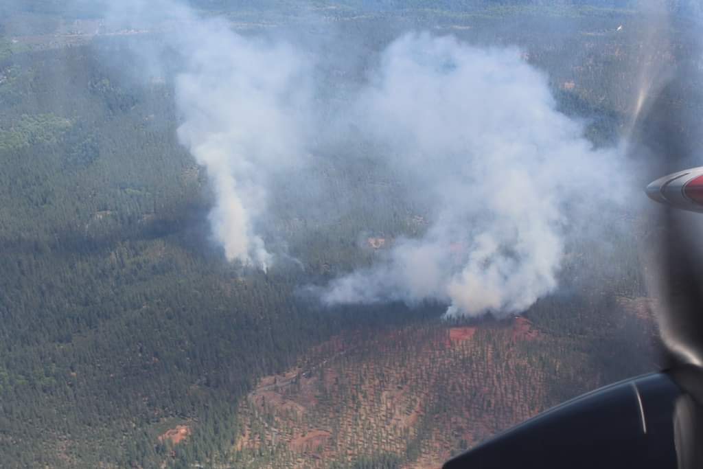
State ID:
3 letter designator: TNF
Fire name: Sugar
Location: Sugar Pine Rd north of Foresthill
Coordinates: 39 6.966, -120 45.186
Reported acres: 20
Rate of spread: Moderate
Report on Conditions: Difficult access, steep terrain, burning in heavy slash, multiple air resources ordered
Structure threat: No structures in the area
Resources: Per GVCC wildweb - DIV-4 E-32 E-333 E-341 E-342 WT-31
Hazards:
Weather:
Radio channels:
Scanner link:
Webcam link: http://www.alertwildfire.org/tahoe/index.html
Agency Website:
News Link: https://yubanet.com/Fires/sugar2019/
1 Like
Coordinates:
39 6.966, -120 45.186
Resources:
DIV-4 E-32 E-333 E-341 E-342 WT-31
Per GVCC wildweb
http://www.wildcad.net/WCCA-GVCC.htm
I think this scanner may have some traffic:
25-35 acres surrounded by roads
2 Likes
Fire is 100% contained. 65.5 acres is the final size.
1 Like

