http://www.alertwildfire.org/sierra/index.html
Any clue of drift smoke east of porterville?
And good column when blue ridge 2 cam faces southeast (it rotates)?
1 Like
Gussing these two( one Rx and one wildfire) with northeast winds aloft:
1 Like
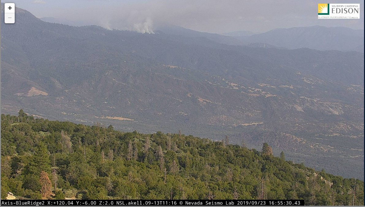
VMP burn on the Mountain Home Demonstration State Forest.
2 Likes
Hi imet. Those spot weather forecasts are for fires on the Kern. Thanks Ball for id’ing that these were rx and in the State Forest. Much appreciated.
1 Like
This is the second day of the 138 +/- acres of the “Summit” VMP burn. It along Summit road down the the Balch Park property boundary.