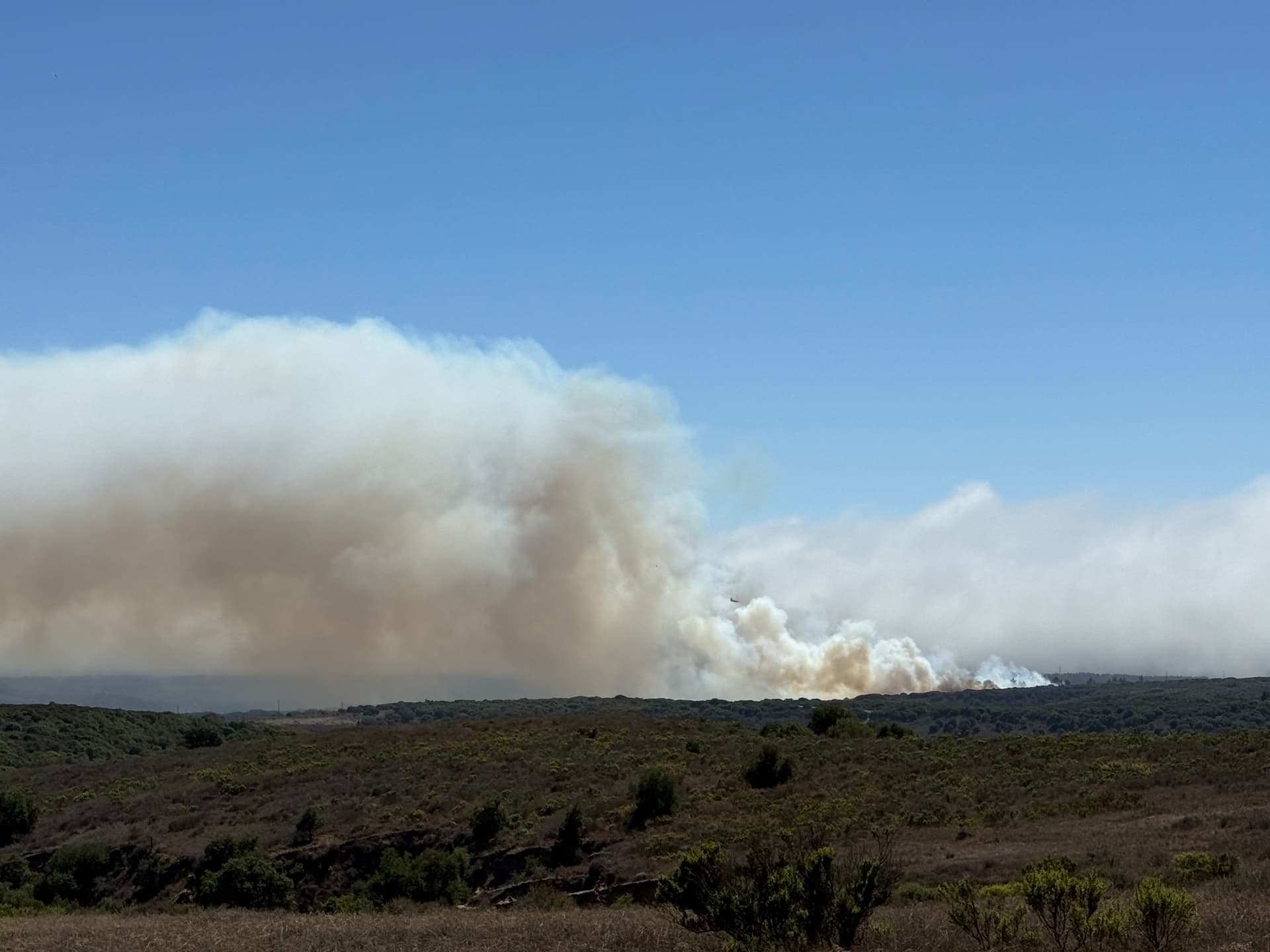
Heavy smoke and a wind-blown column showing on cams around Vandenberg Space Force Base. Unknown acreage.
Edit: Here’s a scanner:
Tileset:
Heavy smoke and a wind-blown column showing on cams around Vandenberg Space Force Base. Unknown acreage.
Edit: Here’s a scanner:
Tileset:
This will be VAQ, Orion Road, LP will be the ordering point
I assume that is the ID for Vandenburg?
That is Vandenberg SFB. It is burning off of Orion Road, on north base, and burninv toward Highway 1/Lompoc Casmalia Road. It is burning in a heavy, continuous bed of brush and scattered timber, with a steady 10+mph wind on it.
Command is LPF FCSN-16
And the Fog is just sittin back there like nope not gonna help right now..
It seems to be directly headed toward the now closed Rancho Marshallia Golf Course.
RH seems to be above 60% for most of the area.
Good stop on this one. Dieing down quickly.
Tankers are being placed on a hold at Paso and Porterville. Fog is rolling in and copters will continue to help until fogged out. Overall, looking good.
Mapped at 24.7 acres. Low amounts of smoke production visible on cams.