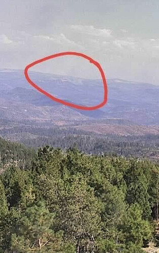
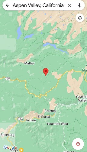
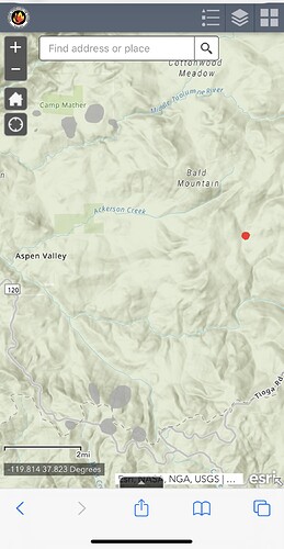
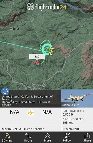
approx. location???
Would be aspen valley area trying to get a map atm
Aspen Valley north side of YNP
North of Hwy 120
AA and both tankers out of Columbia inbound.
The S2’s and 112 launched out of Columbia heading that way.
Both tankers on scene now
Well inside Rim fire burn!!!
That burn is fuel loaded lots of dead and down
Inside the Rim means nothing. That was quite awhile ago.
Tankers heading back to Columbia unsure if they are on load and return
I have seen else where 3-5 acres in heavy fuel MROS potential for 100
Tankers load and return.
Rim fire was 2013, at this point the fire scar is full of regrowth brush and high load dead and down fuels. Really just a fire scar by name, less a fire scar for limiting growth.
I’d argue that it’s almost worse. Timber replaced by brush and pine scrub.
I did a SAR mission in the buck meadows area about 2 years back nasty fuel

