Nothing to get hung up on.
2 Likes
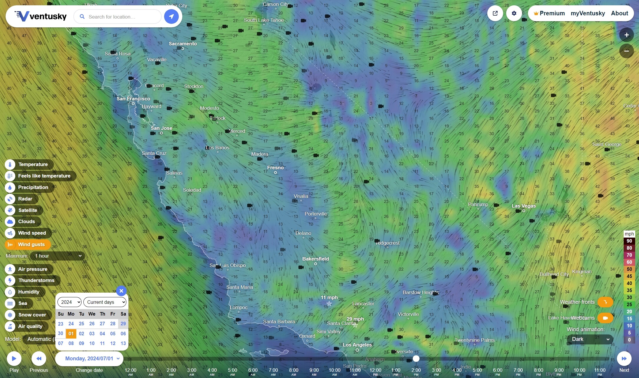
Sunday 2PM PT Forecasts
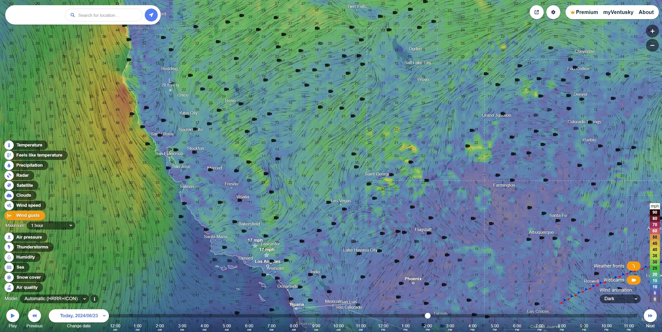
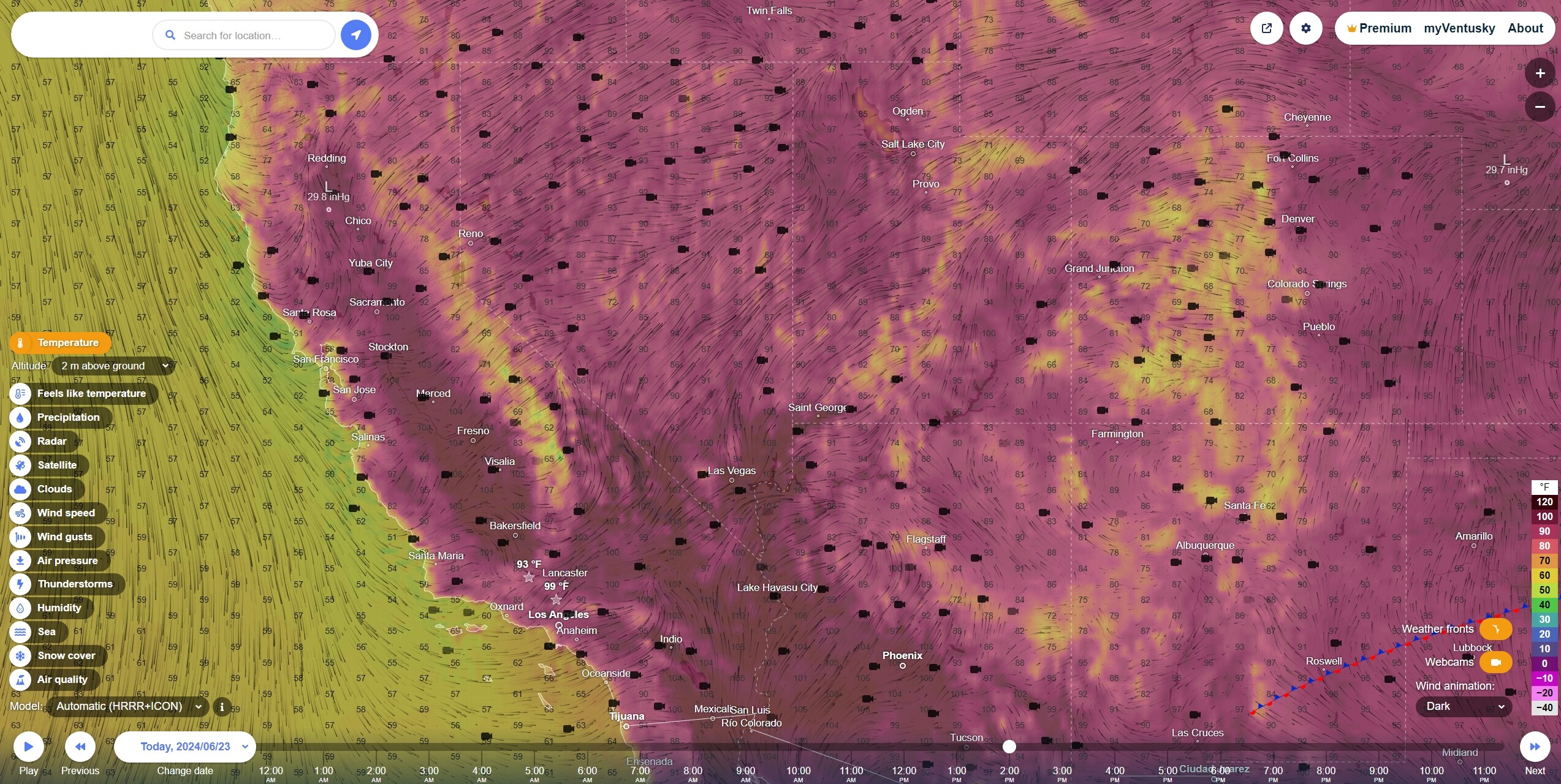
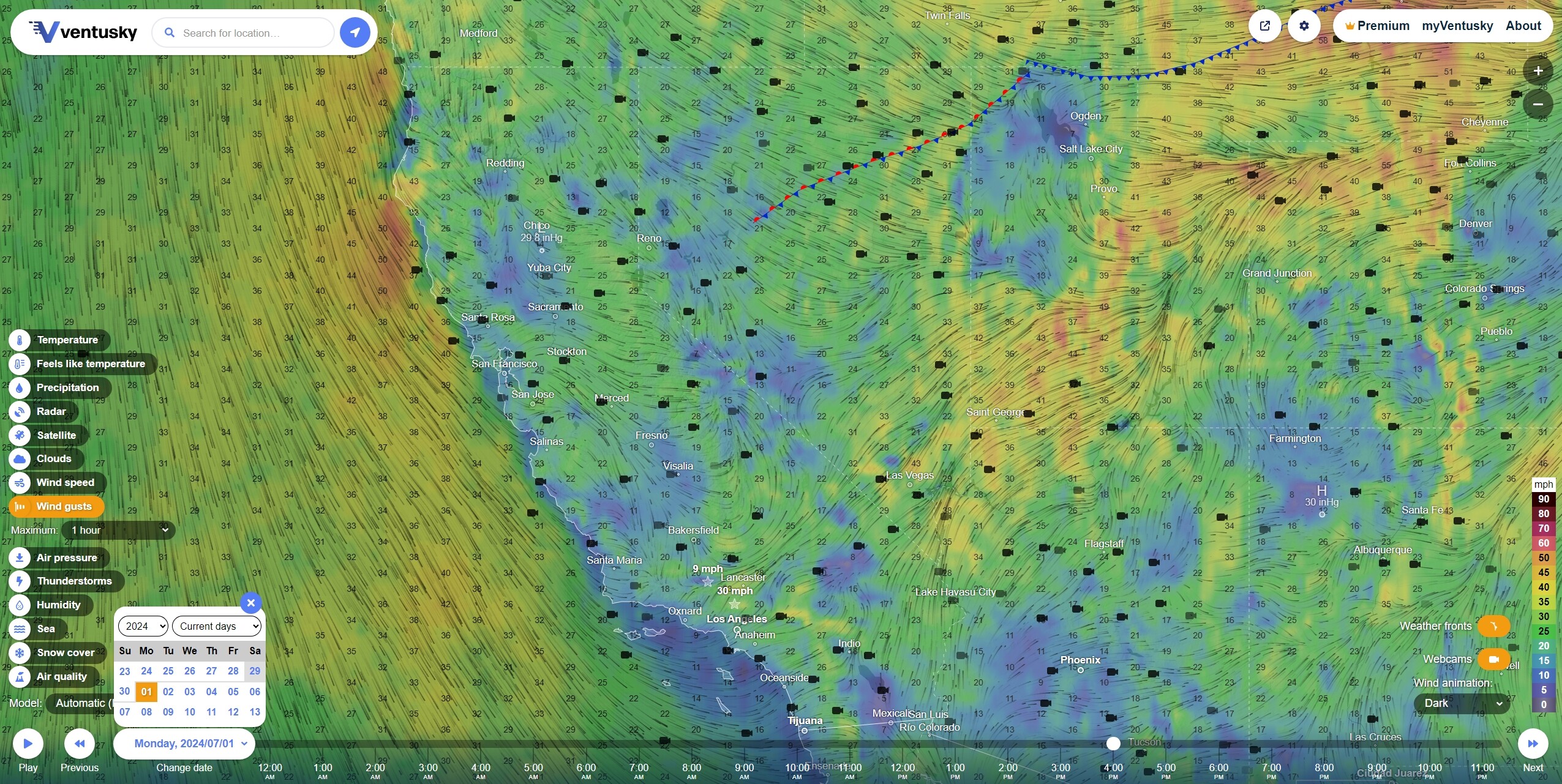
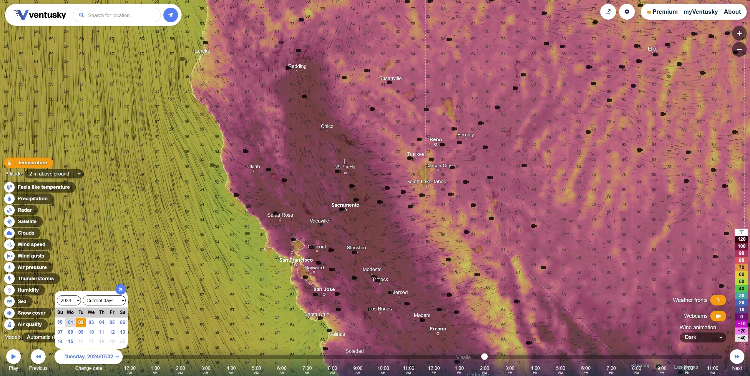
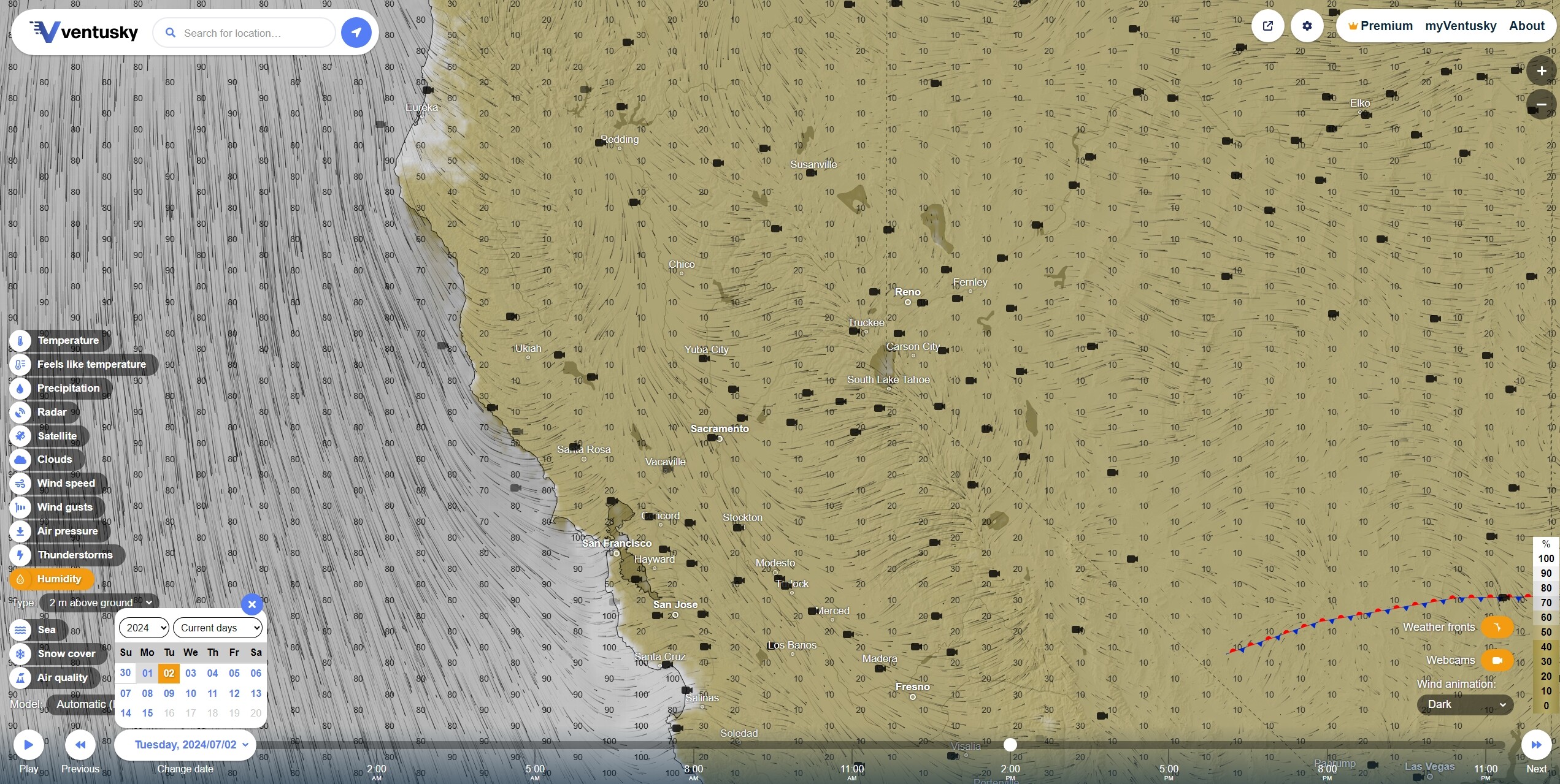
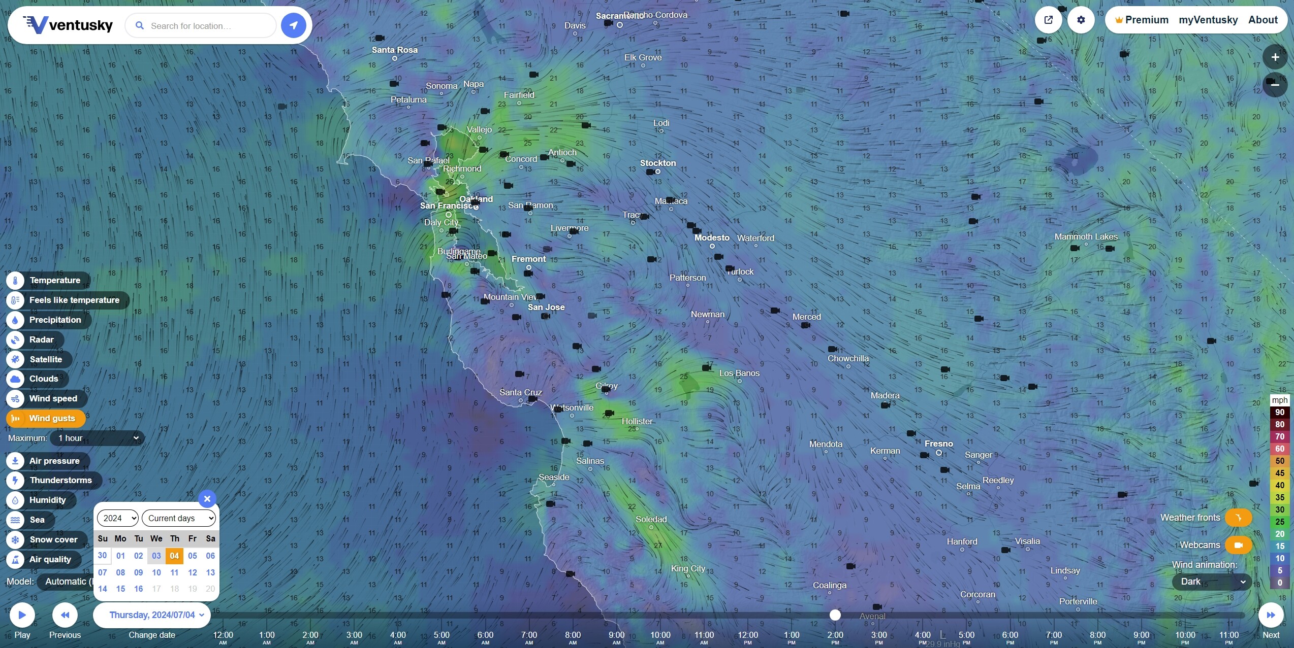
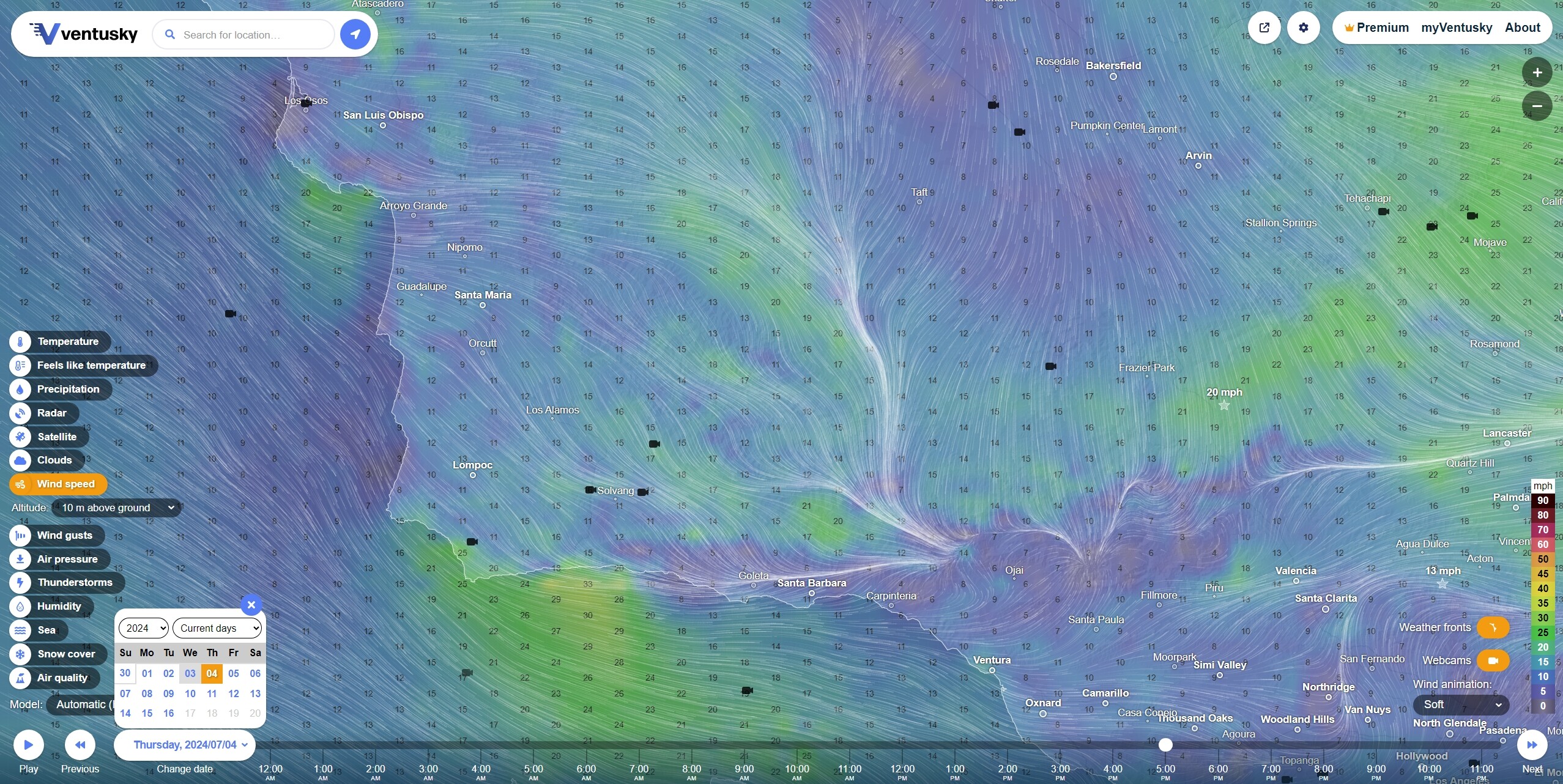
Significant winds in Modoc NF, northeast of Shasta-Trinity and eastern Sierras. Some return of eastern slope wind gusts on the coastal ranges. Very, very hot in the Central Valley. Retreat of the marine layer cloud cover and decreased humidity in the near shore.
4 Likes
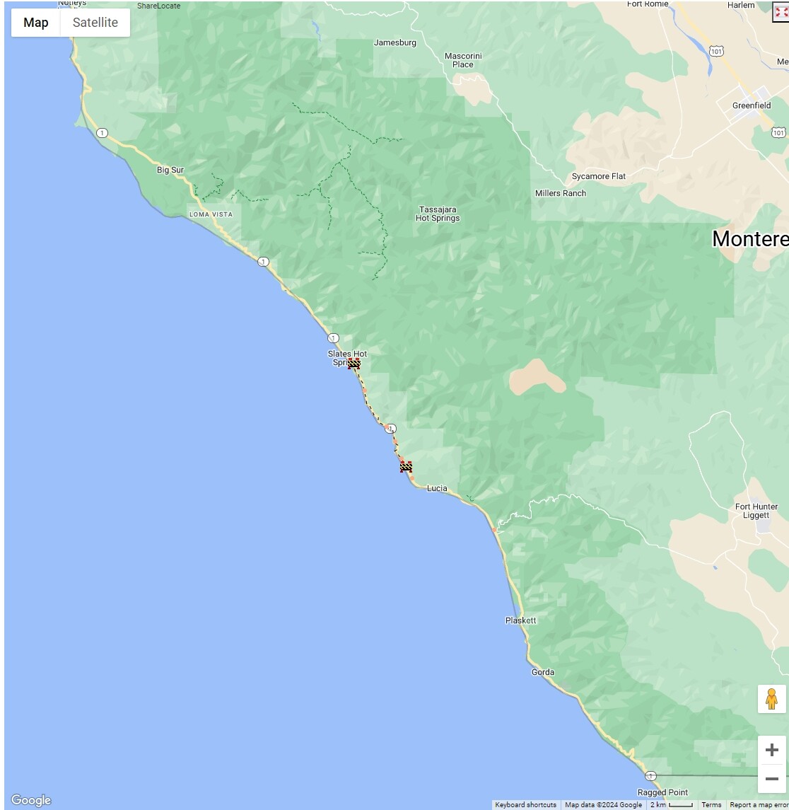
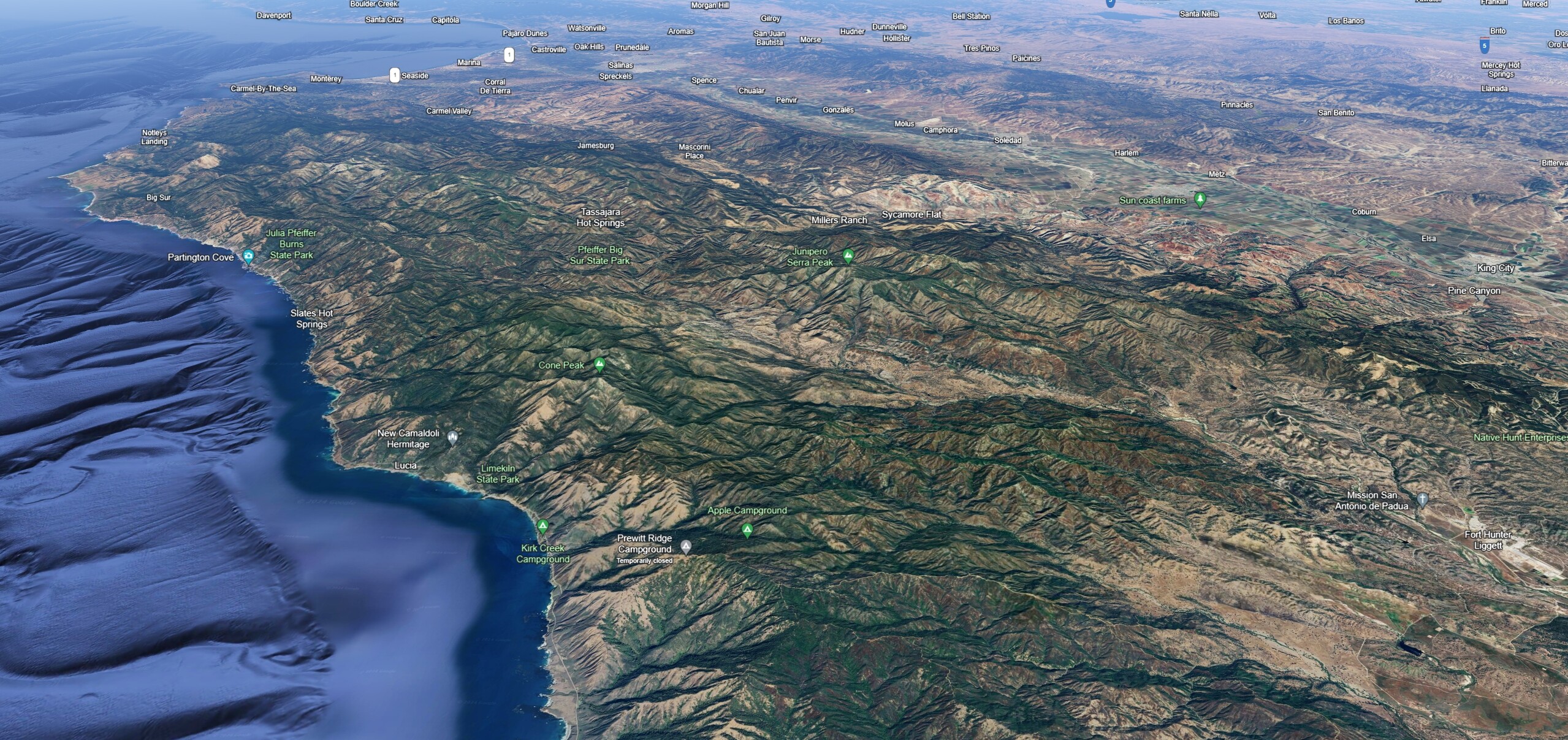
The reopening will allow direct access to the community of Lucia, The Camaldoli Hermitage, and people living within the newly-reopened section of the highway.
With that being said, the Regent’s Slide closure is still in effect. Once that work is complete, Highway 1 will then be open between Cambria and Carmel.
The problematic section. I don’t have any recent pictures of Regent’s Slide, but it might be possible that it could pass fire vehicles.
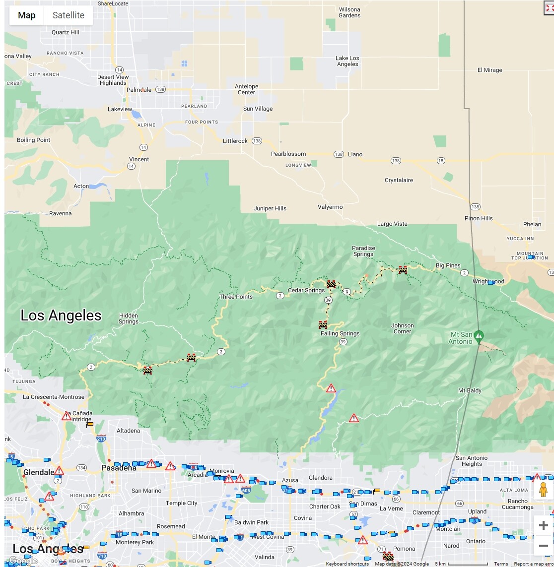
Sections of State Highways 2 and 39 still closed in the Angeles, likewise.
3 Likes
3 Likes
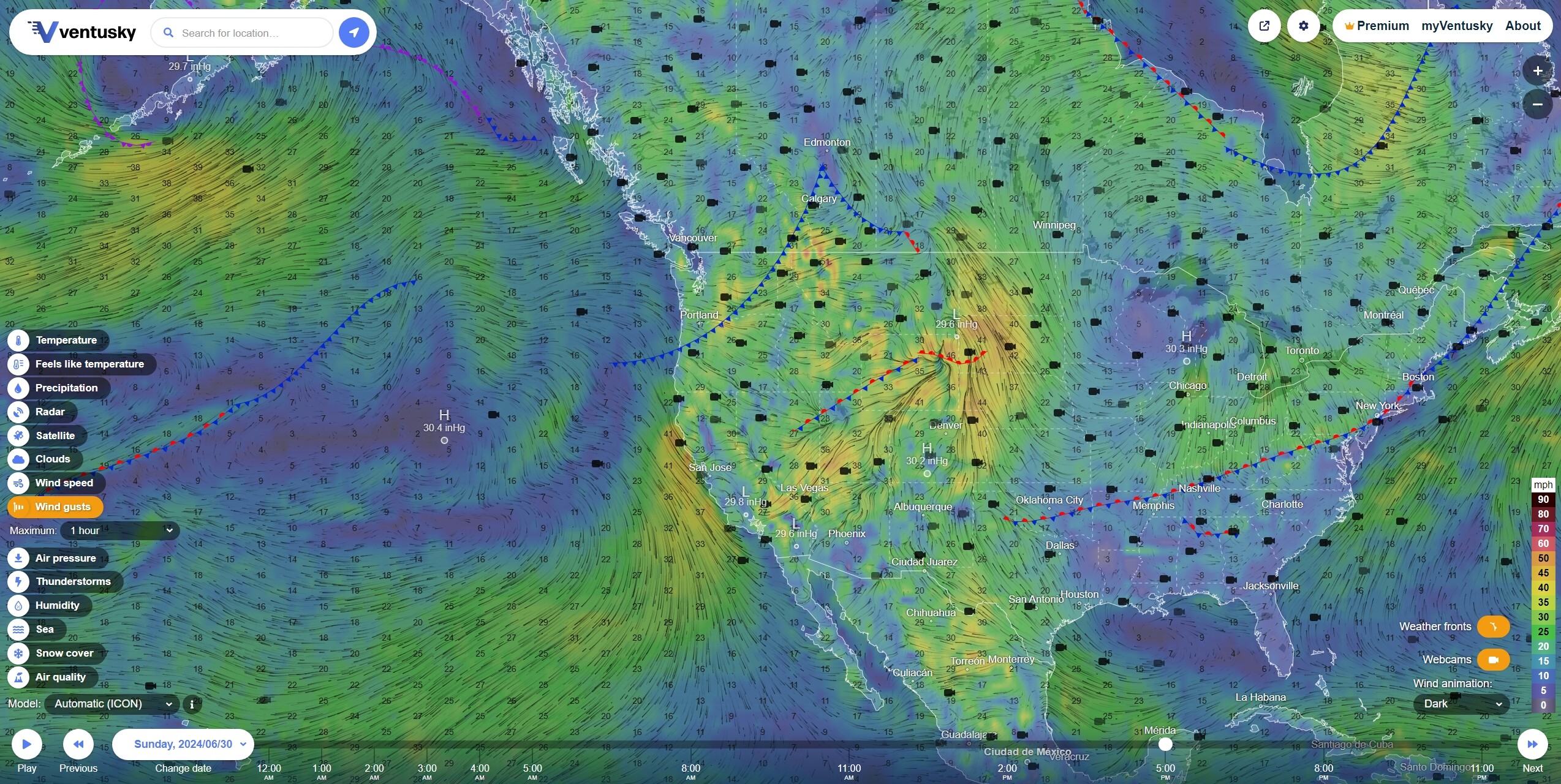
The ‘sentry’ high pressure system over the eastern Pacific is forecast to continue moving towards the coast over the next 72 hours. The thunderstorm line on the Sierra foothills could move deeper in the NV and the Great Basin.
3 Likes
5 Likes
3 Likes

1 Like
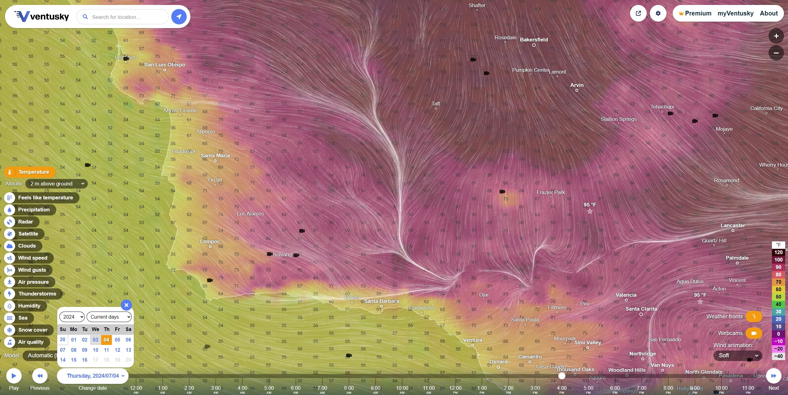
6 day Red Flag for Sacramento Valley plus 100+ degree days 111 forecast for Vacaville on Wednesday 7-3. AND 15-25 mph north winds. BAD COMBINATION.
7 Likes
3 Likes
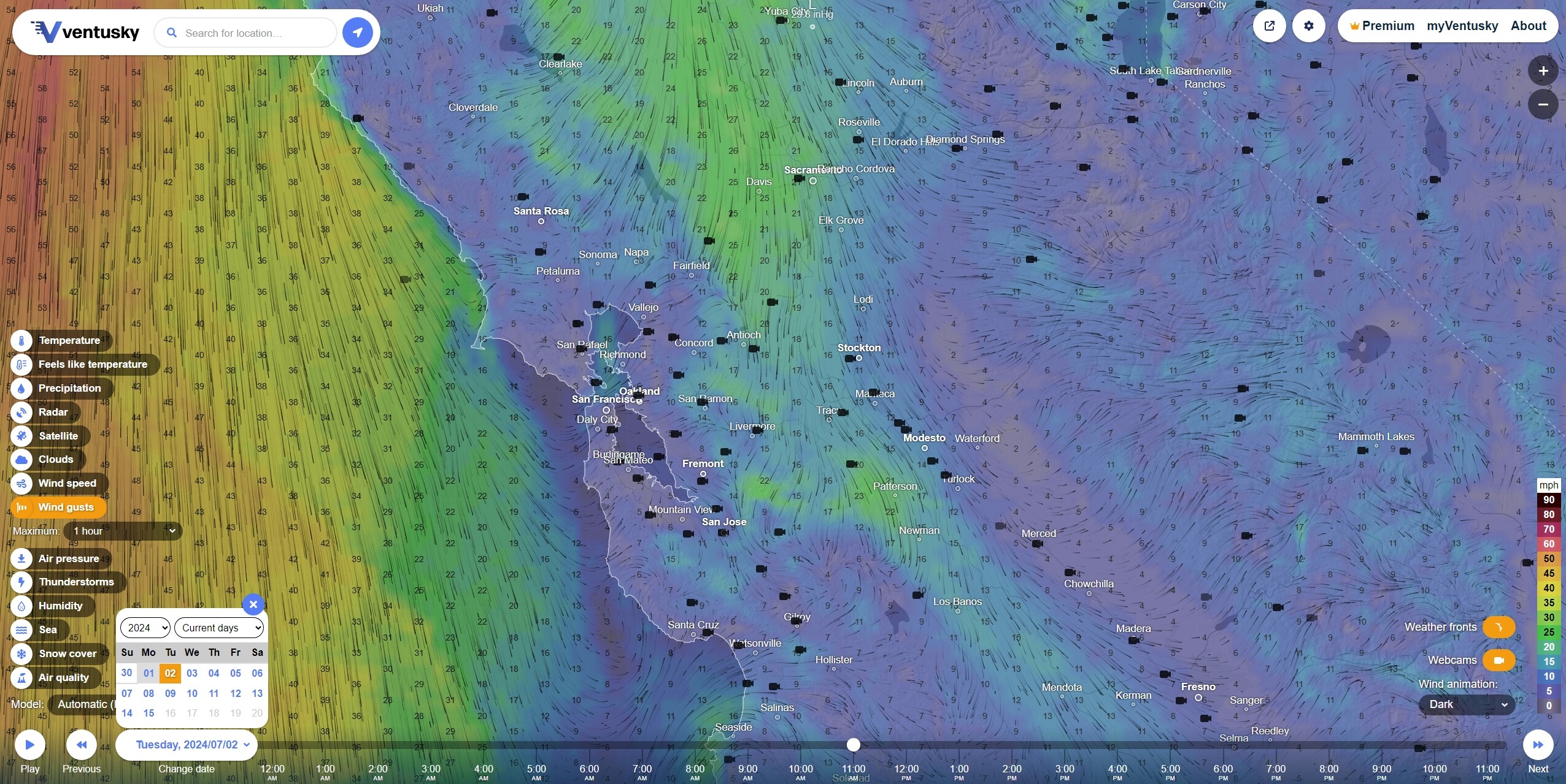
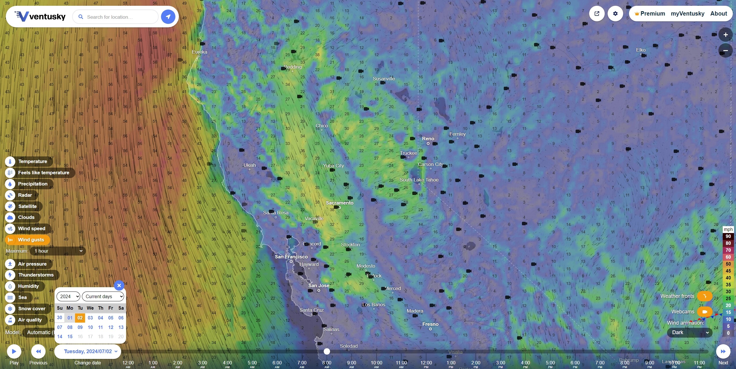
The spring onshore that has been refreshing Marin and Alameda County above Point Reyes and around Livermore and Mt Diablo will be giving way to a strong and dry northerly flow by Tuesday. Any rapid intensification of wind speeds through would be rightfully called the Diablos.
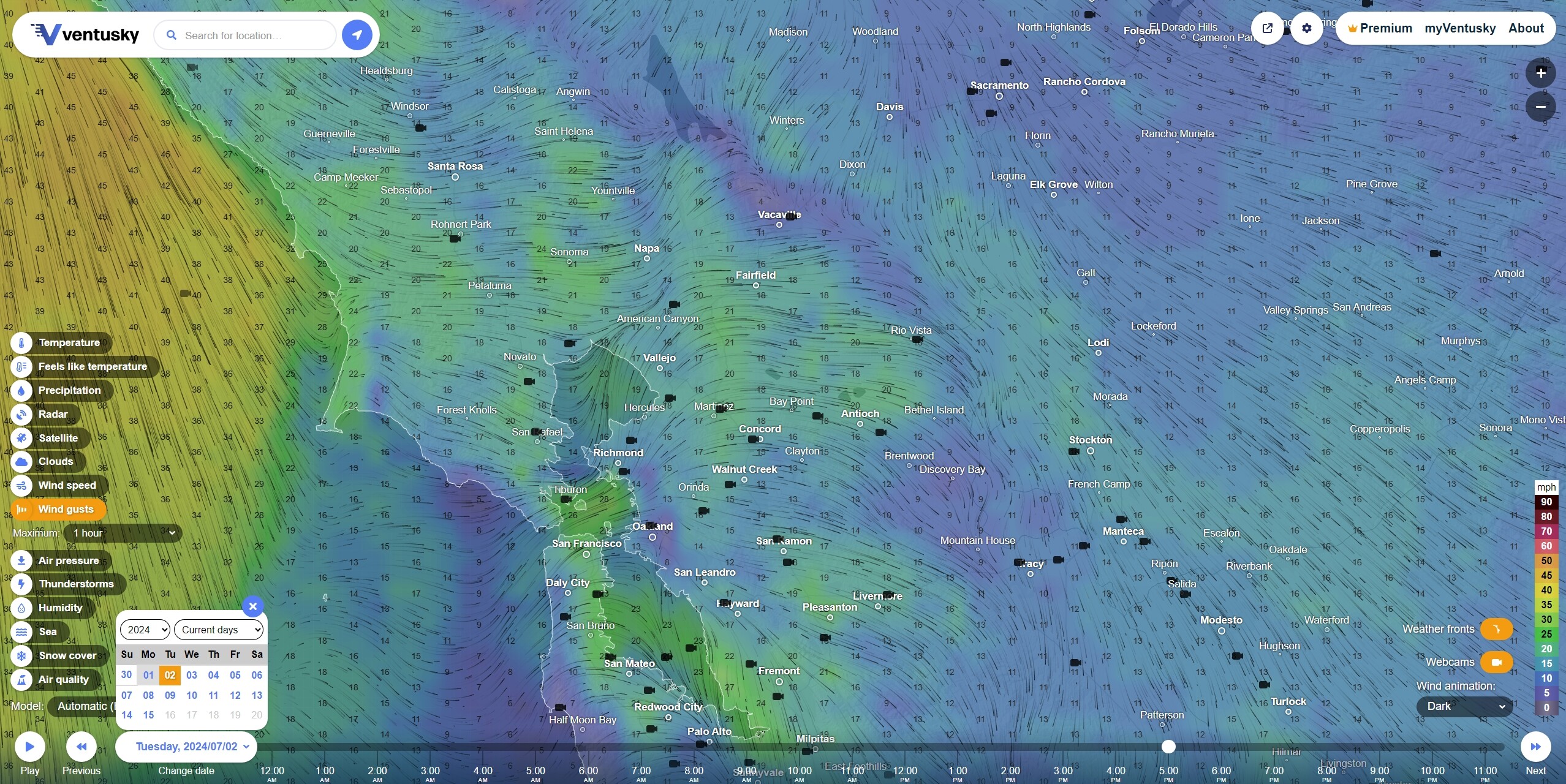
By 5pm, a ‘sentry’ high pressure system off the coast of Vancouver pushes back and reverses the prevailing winds by Tuesday night. This back and forth may continue through July 4th.
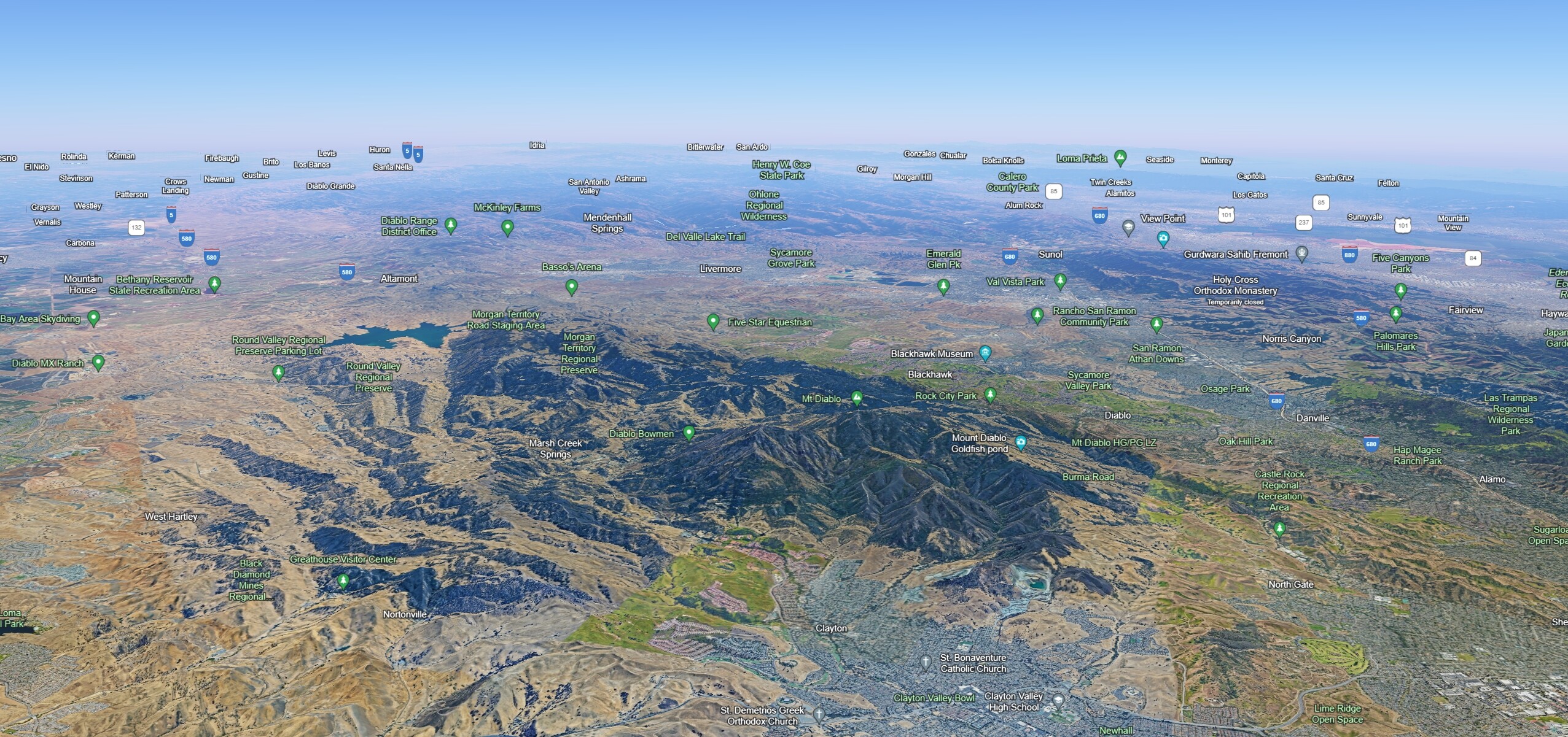
Looking south at Mt. Diablo, the Altamont Pass and the Diablo Range (3000 to 5300 ft peaks and ridges).
3 Likes
2 Likes
3 Likes
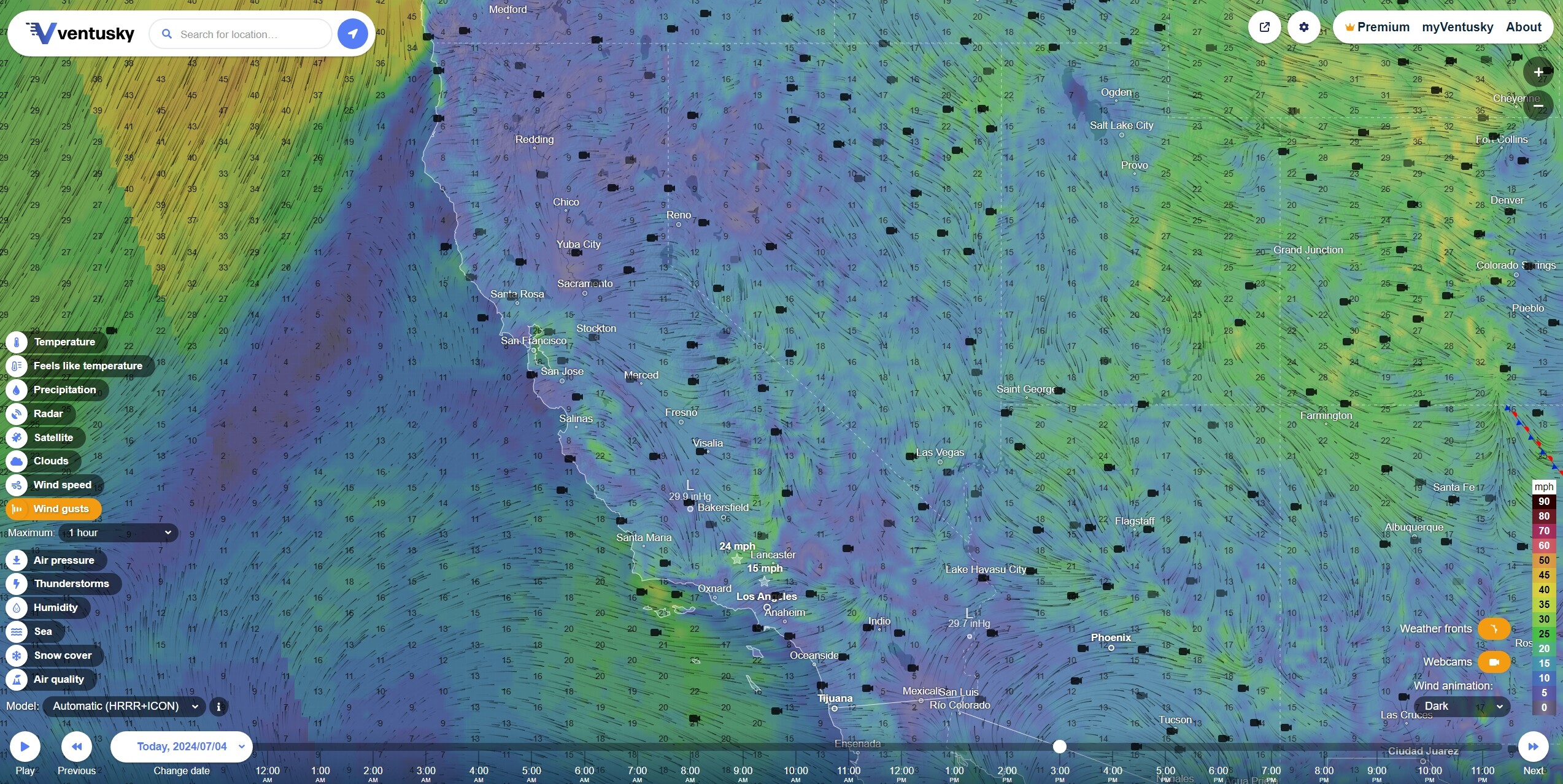
Forecast THU JUL 4 2PM Wind Gusts
Forecast FRI JUL 5 2PM Wind Gusts
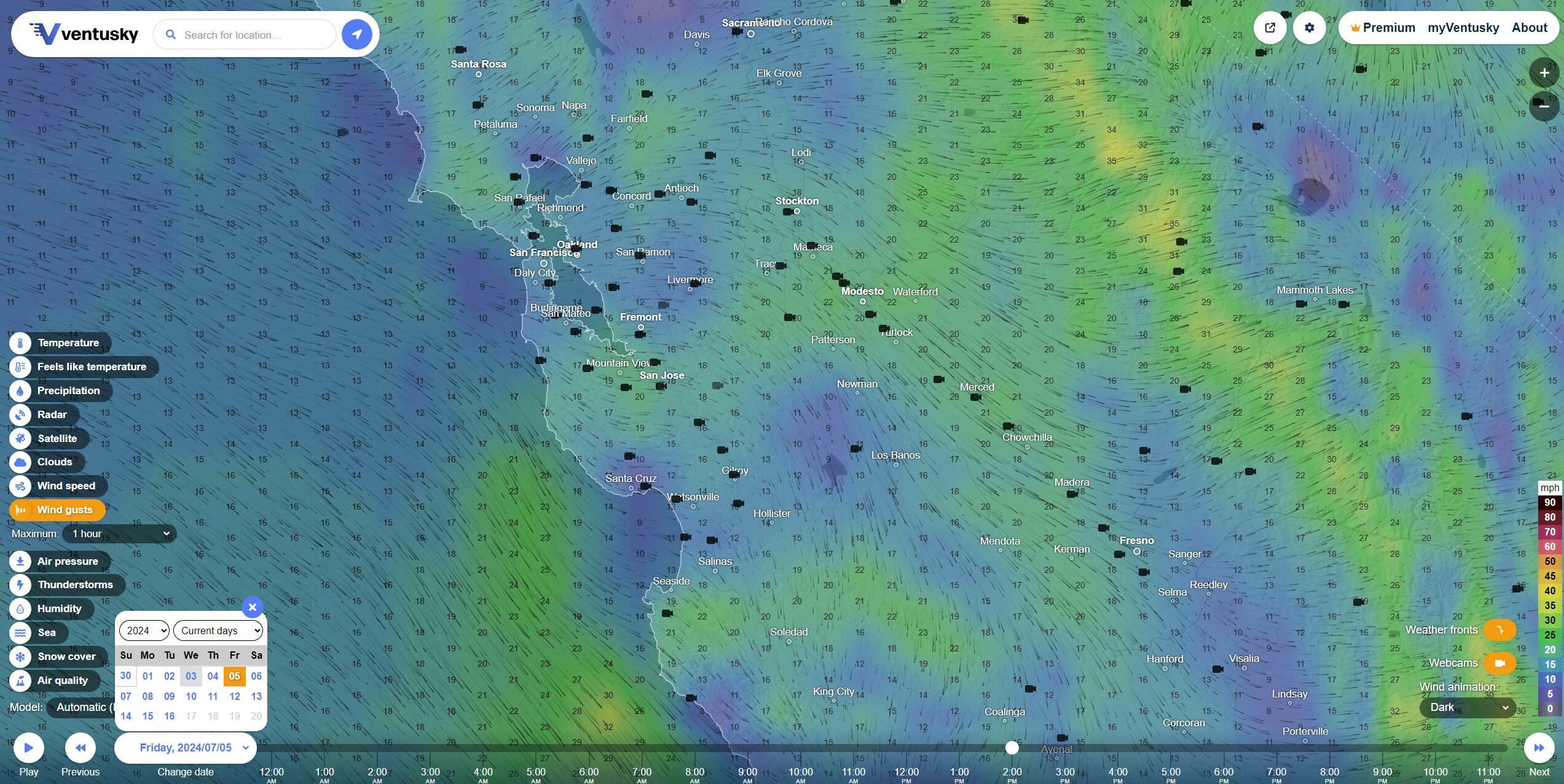
The San Franscisco Bay and the Delta will have a persistent onshore through Friday along with some elevations around Monterey Bay. This would appear to strengthen and broaden over the next 48-72 hours.
Forecast FRI JUL 5 2PM Wind Gusts

SoCal may have some significant winds in the northeastern Transverse and Coastal Ranges with an offshore from the east and, perhaps, some for real wind shear on the ridges and unstable air conditions in the National Parks.
Fight’s on?
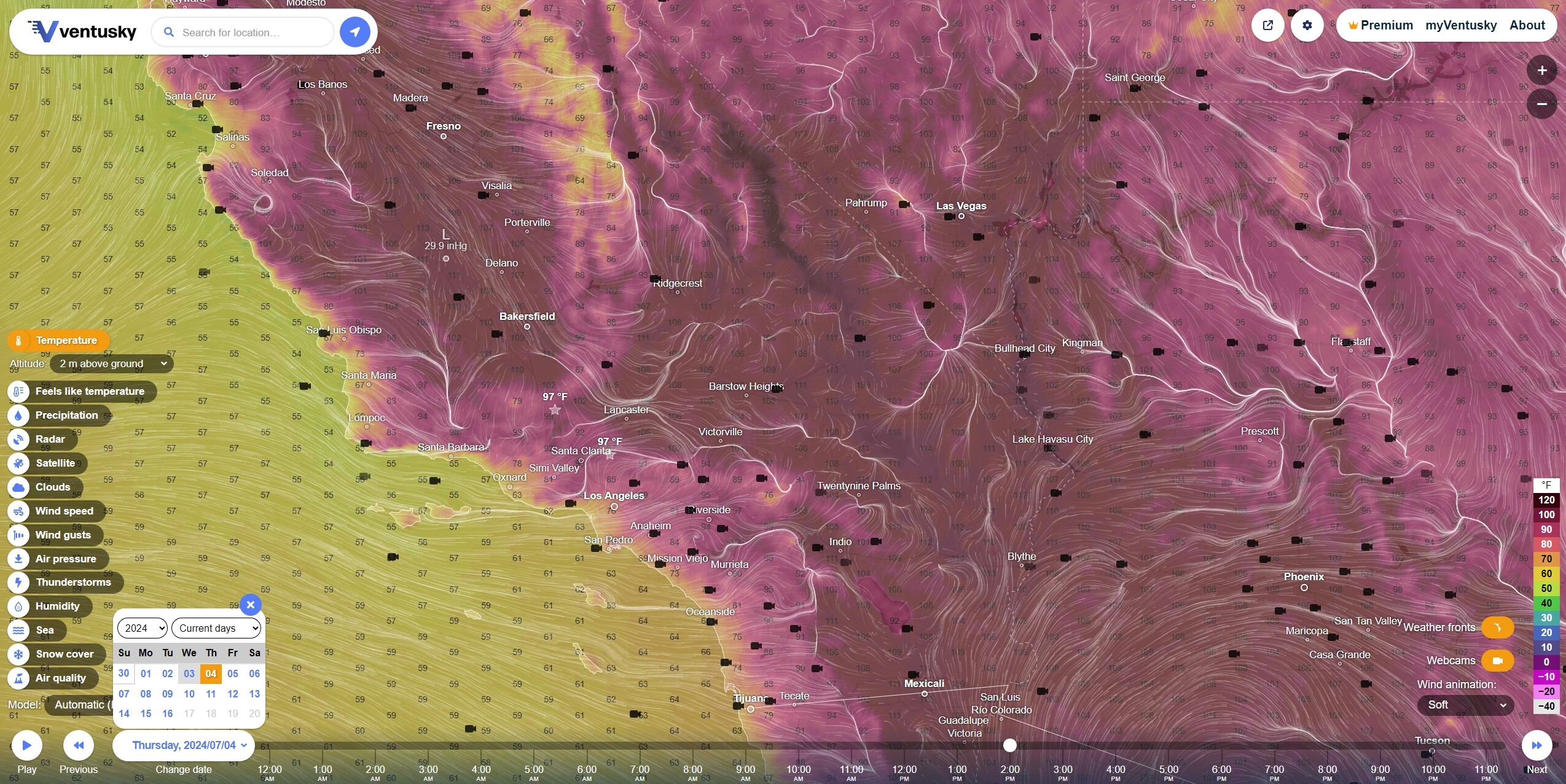
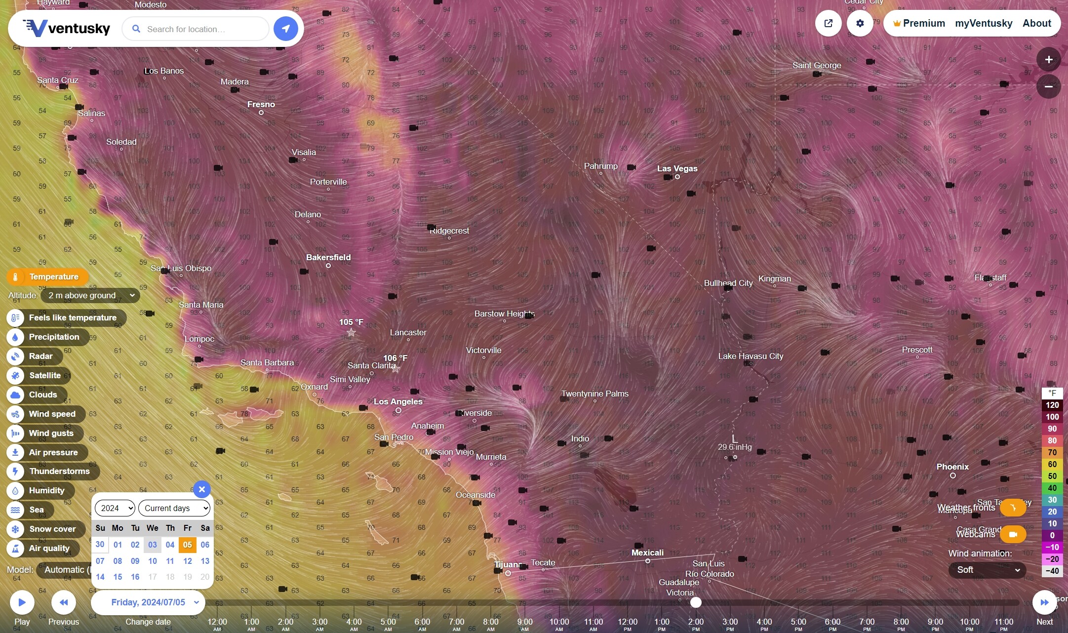
This riot may calm down some by Friday, with a prevailing offshore for Santa Barbara and Ventura.
Angeles NF is getting ready to raise some Red Flags for the holiday weekend.
3 Likes
SBC, VCFD, LPNF, BLM Coastal and Transverse Mountain Ranges;
Santa Ynez, San Gabriels, Los Padres, San Rafaels, Sierra Madres on Fourth of July
If these models are any good at all 48 hrs out, the Santa Ynez Range above SBC south coast will see gusts to 25 but maybe not a 3 hour sustained wind on the south slopes, per se. Humidity in Ventura may fall below 15%. Dunno, Surfer Helo, close call. The beaches may see some moderate traffic with everybody baking in the uplands. 
2 Likes
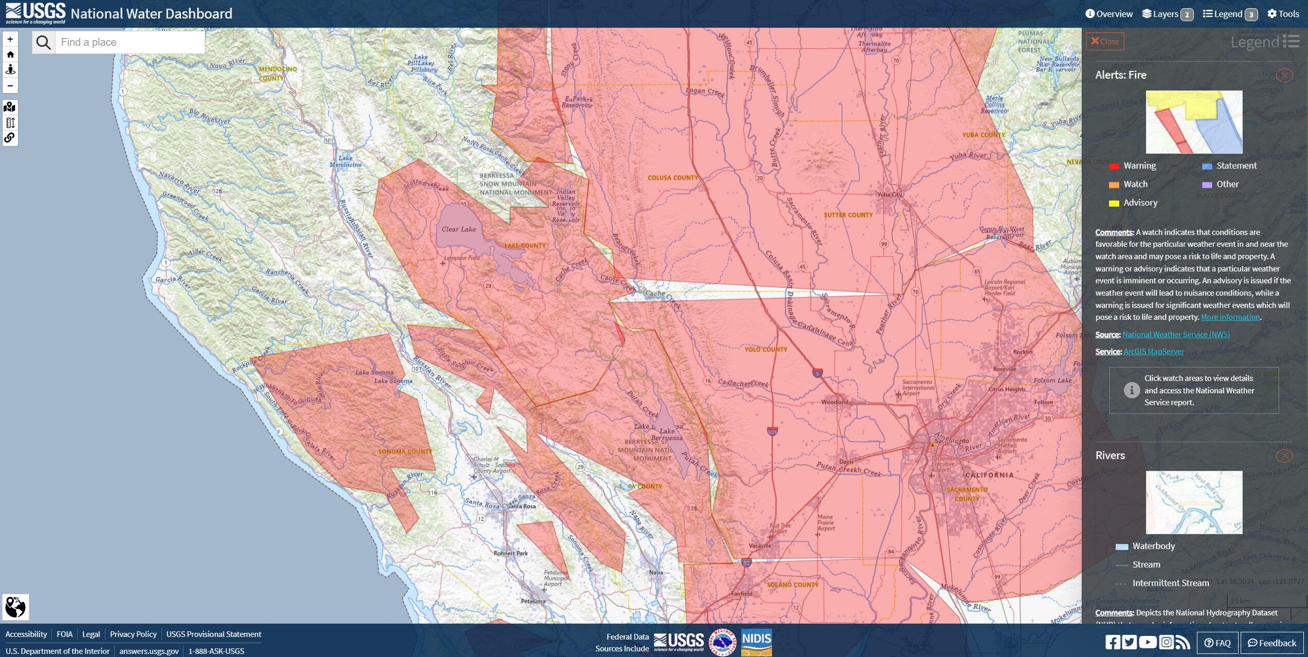
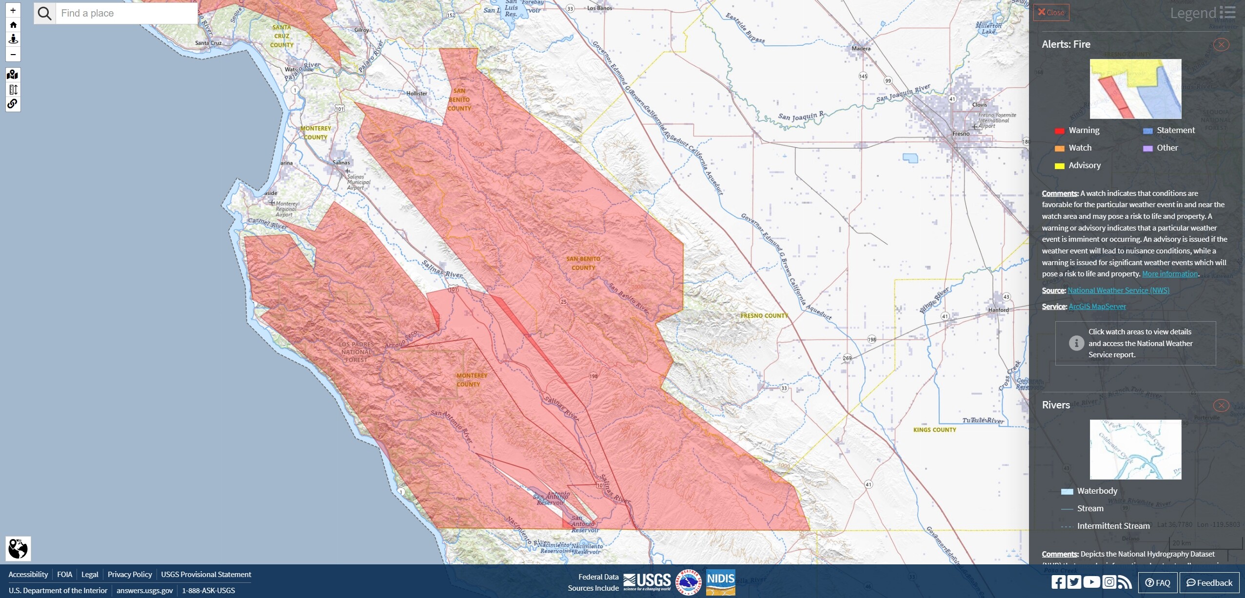
New Red Flag Warnings for LNU Clearlake and Lakeport, BEU Monterey and San Benito, Los Padres NF, Carmel Valley, Big Sur, Hunter-Liggett, Pinnacles and Salinas Valley. This includes the current Airline Fire incident on HWY 25 (55% containment, 1200 acres).
Update: 7/3 4:00pm
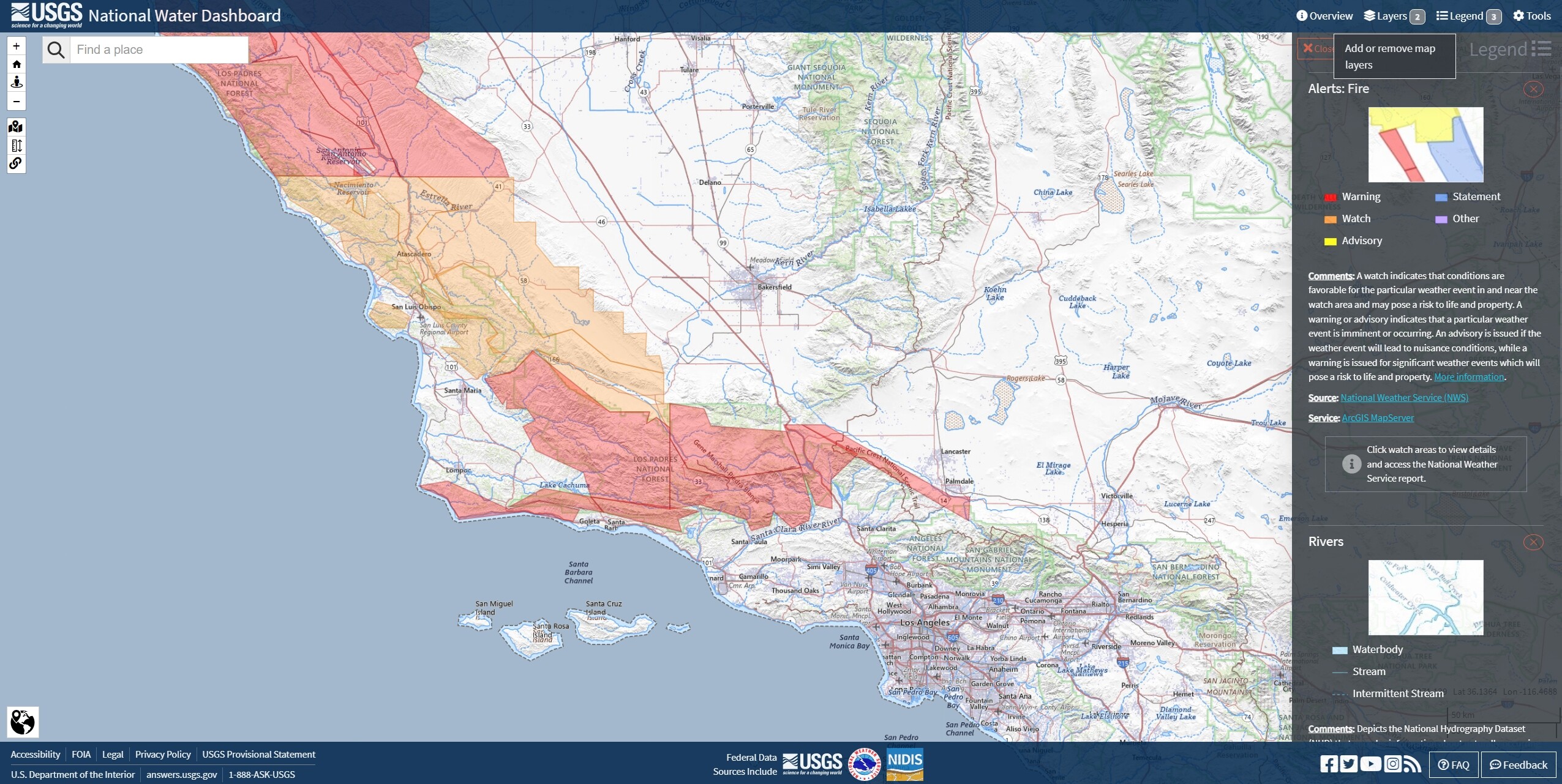
New Red Flags San Rafael Range, Vandenberg, SBC, LACFD, VCFD, LPF, ANF, Gaviota Coast, Santa Barbara, Ventura, Pyramid Lake, HWY I5.
5 Likes
1 Like
Living charmed lives with these relatively low wind forecasts.
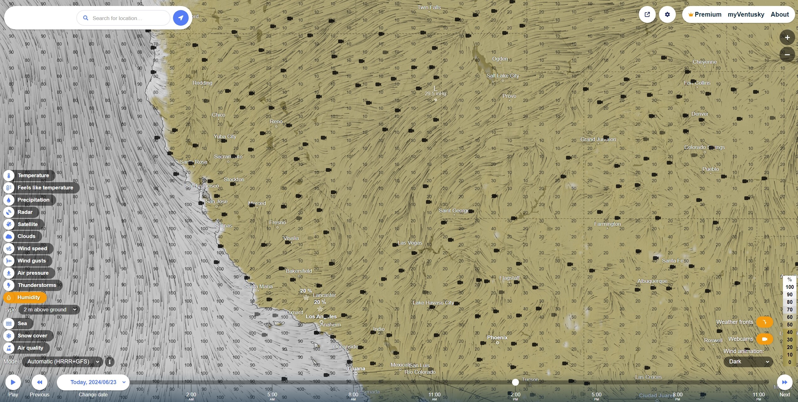
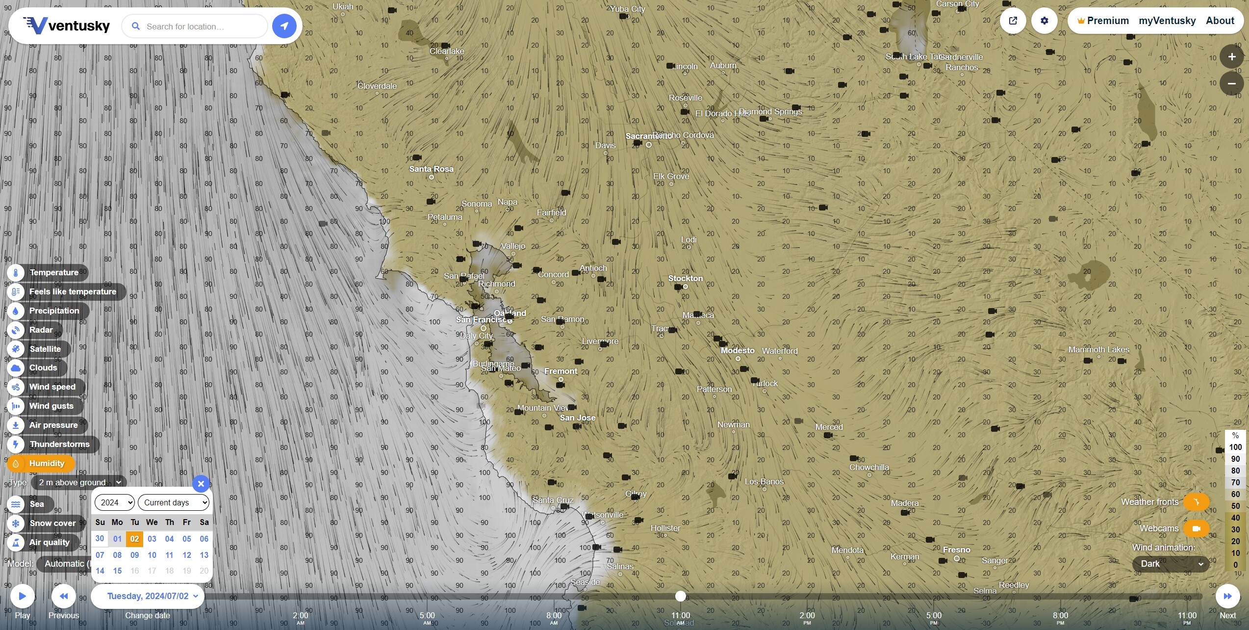
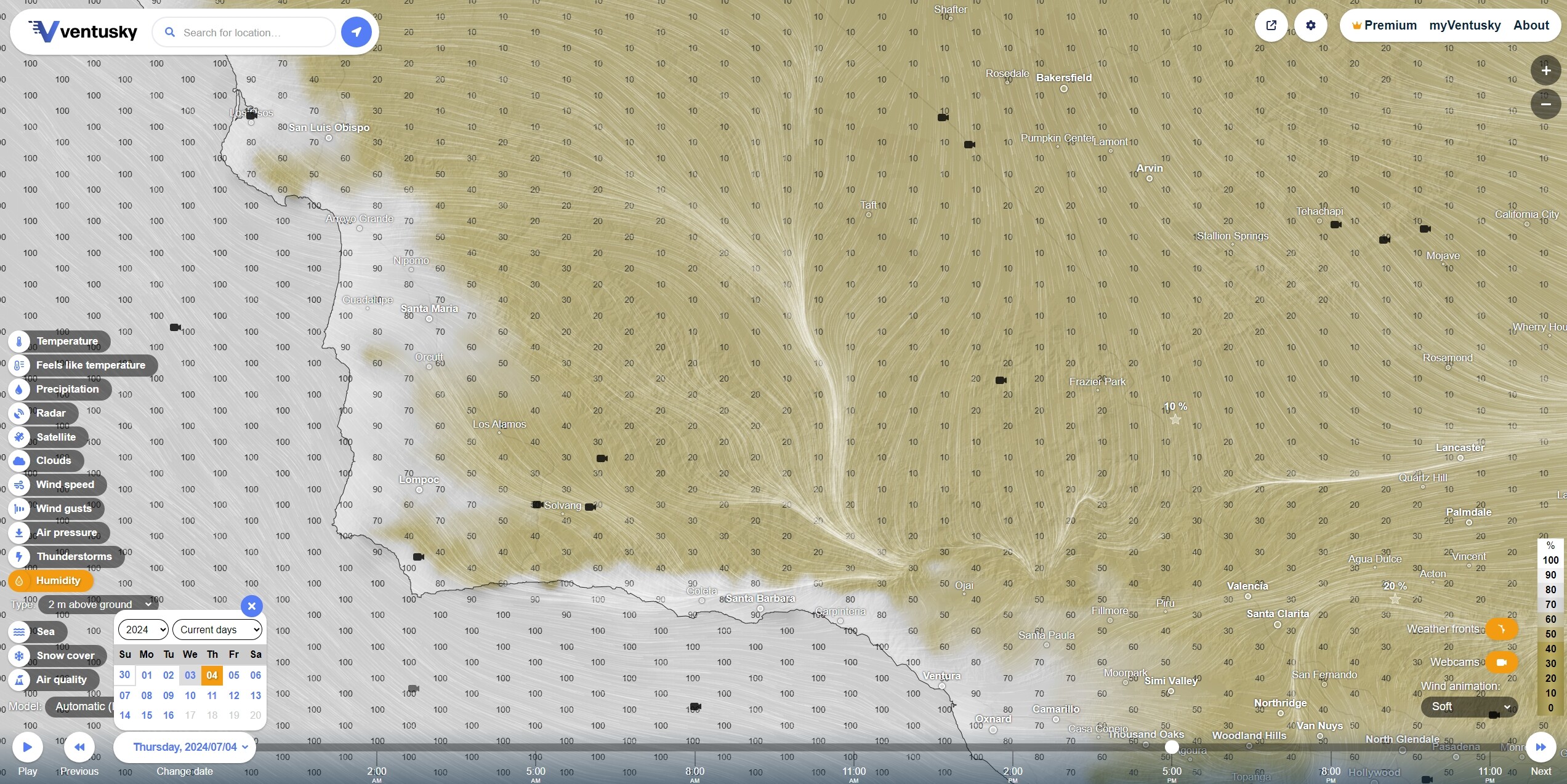
Update: 2PM Humidity
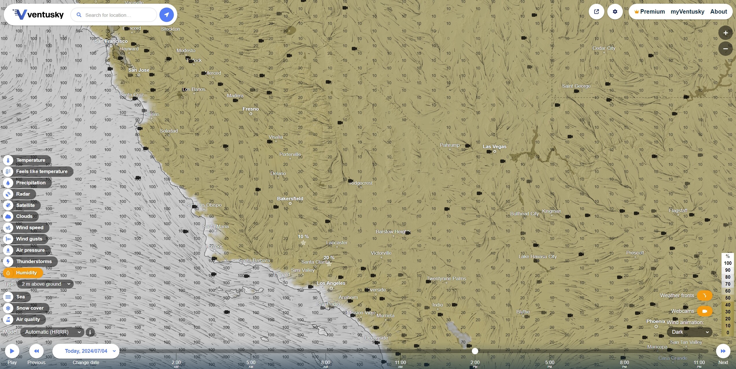
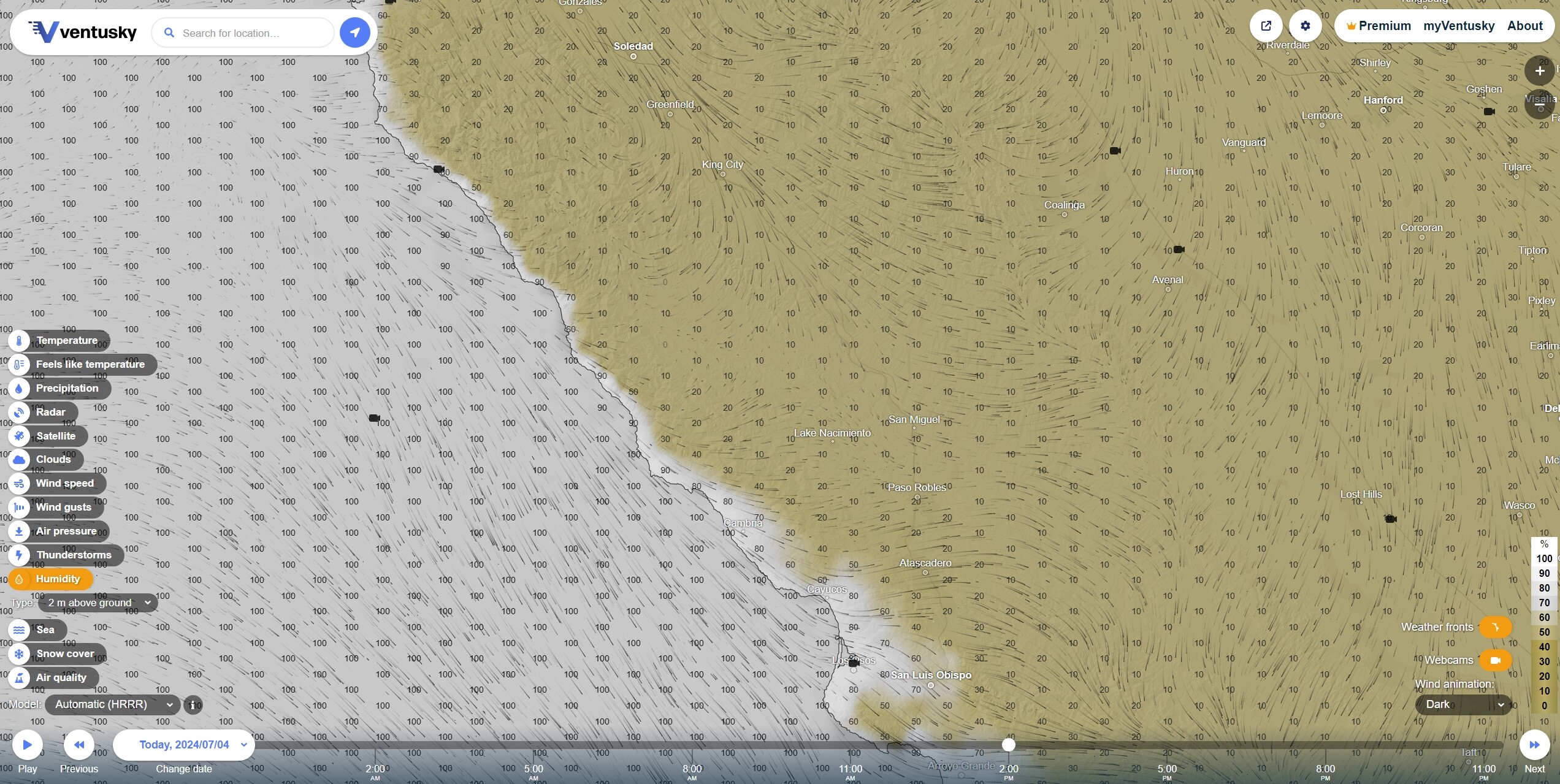
A very steep rH gradient, 100% to 10%, at the tops of the cliffs and the rest of the incredibly rugged northern Los Padres. Condensate over the cooler near shore waters is obliterated where the sun can touch it and fans outward, invisible and insubstantial, into the hotter, rising air of the coastal mountains.
3 Likes