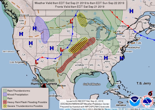
NWS Hanford predicting some fire weather concerns for this weekend…
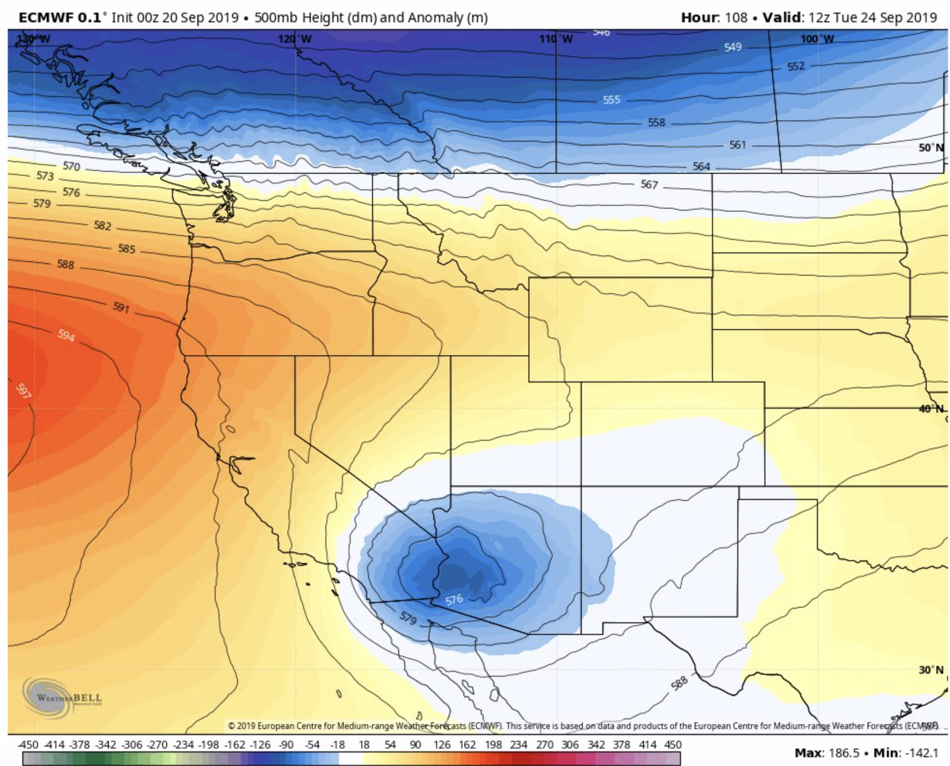
" Operational models start diverging early next week. The GFS is the more progressive solution and further north, bringing a trough of low pressure through the N Great basin Monday. While the Euro is further south over N CA and closing the system over NV
then towards AZ on Tuesday. The operational Canadian and ensemble means more in line with the EC solution indicating a trough remaining towards SE CA and AZ. This solution would bring some fire weather concerns for central CA. Winds would be offshore downsloping off the Sierra resulting in significant drying towards the west side of the SJ valley and central coast. While temperatures warm as a ridge builds into Pac NW shifting south over CA through Wed."
While LA/Oxnard is predicting weak to mild offshore Friday-Sunday and stronger Tues/Weds.