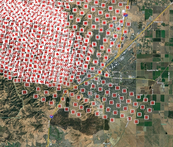
Read up in this thread for answers. Same workflow as my Mendo Complex work, same frustrations etc. Some of the SIT people from Mendo are on Camp and have been producing the KMZ with the Ops Map in low and high resolutions, but once you export it in KMZ/KML, you lose the ability to modify the properties in GE, especially the transparency of the overlay, so the only benefit to that premade one is quick and dirty Ops over the terrain features of GE. If you want to combine data like Ops, terrain, MODIS etc you’ll have to bring all the ingredients into your own Google Earth and bake it locally.
I noticed it was a bit easier than doing this for the forest fires because the more urban features allowed for a quick alignment, especially Hwy 32, 99, 149 and 70.


