Good Morning All ![]()
Question for Incident GIS / GISS community — I’m building an Apple Vision Pro volumetric sandtable app and would love your input on data formats and workflows.
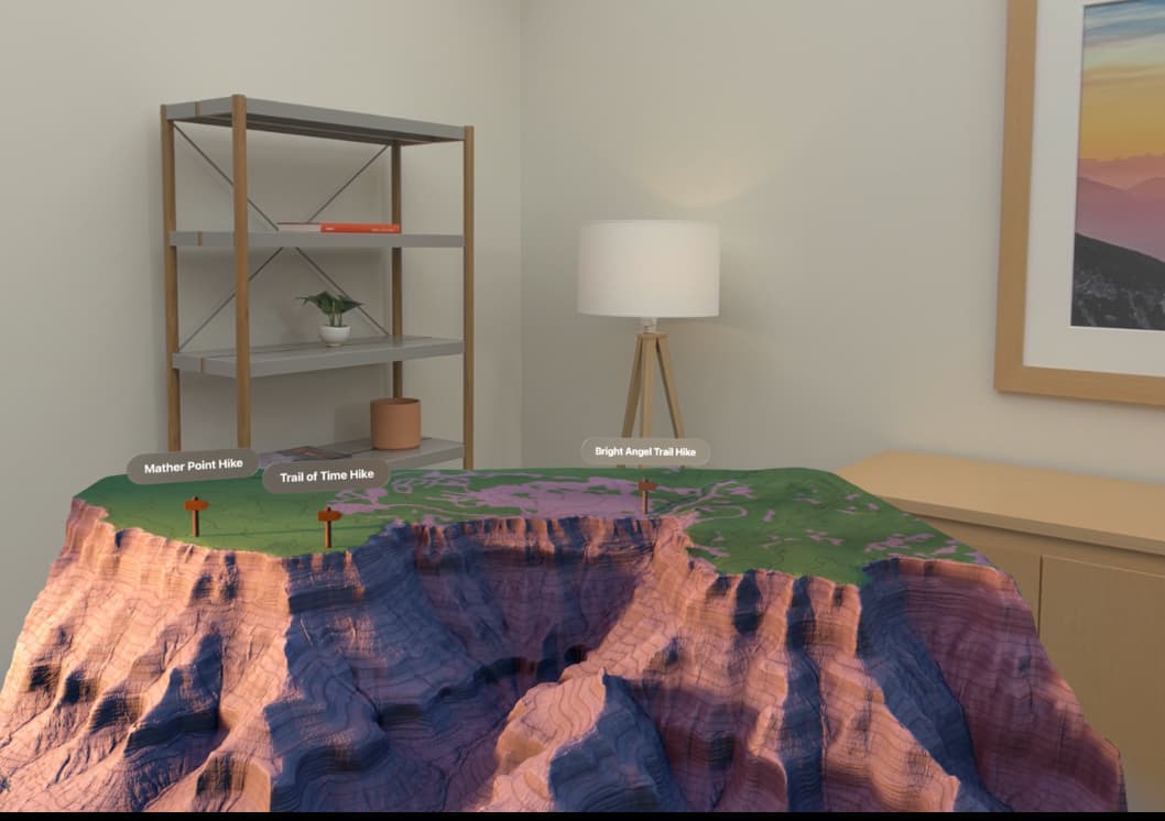
The goal is to import standard ICS map layers into a 3D interactive briefing environment (think digital sand table), with a game controller for navigation, and the ability to 3D print the resulting map. For example open line would have actual smoke and fire.
Referencing the NWCG IAP Map Product Standards (Incident Action Plan (IAP) Map | NWCG), what formats can you currently export for the following layers?
• Fire Perimeter (contained / uncontained polygon + perimeter lines)
• Event Lines — planned/completed handline, dozer, retardant, access/escape routes
• Event Points — camps, dip sites, draft sites, drop points, hazards, helispots, helibase, ICP, safety zones
• Assignment breaks and labels — Divisions, Branches, Zones
• Land Ownership / Jurisdiction
• Special Management Areas — Wilderness, WSAs, IRAs
• Structures and Utilities — powerlines, substations, pipelines
• Topographic base layer
• Any additional SITL-requested data layers
Specifically trying to understand:
- What formats are you exporting today? (GeoJSON, Shapefile, KMZ, GeoPackage, File GDB, GeoTIFF, MBTiles, other?)
- Are you working from the ICSDS / NIFS schema or a modified version?
- Any layers that are particularly difficult to export cleanly?
Appreciate any insight — ![]()
![]()
Josh