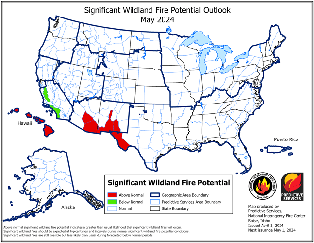
Outgoing NIFC Predictive Services Outlook for May.
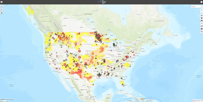
Current FWAC
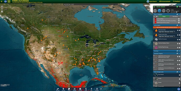
Current FIRMS
Note: Default iconography includes Rx fires. Outlook Maps are intended to show projected deviations from ordinary seasonal fire activity.
Next Outlook will be published on May 1st.
I mean this in the nicest way…
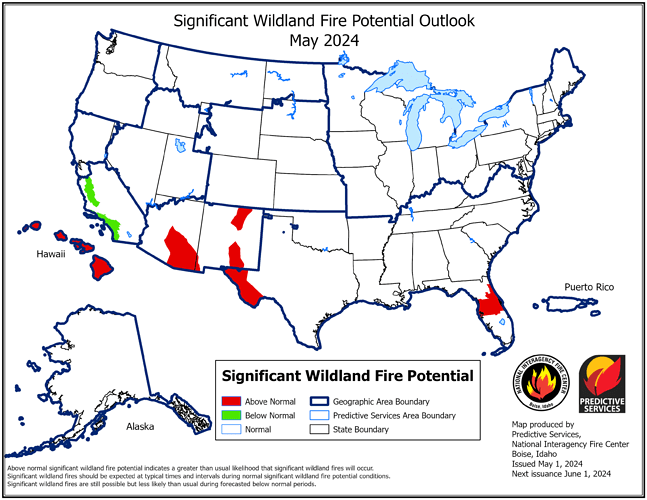
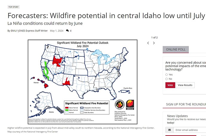
Publishing an April 1st issue Outlook map on May 1st, the day of the new issue, wouldn’t be very accurate in normal course, but is especially inaccurate before we are passed the SPB*, which makes the Summer difficult to predict through most of May. This might have been a simple mistake of uploading the wrong image, or actually not knowing, but in neither case is that the NIFC’s most recent forecast for July.
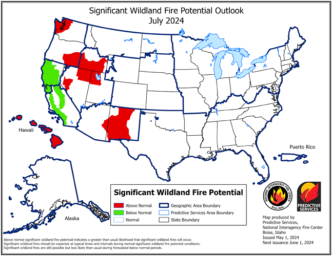
This is the most recent Outlook for July 2024, issued May 1st:
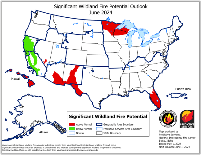
In addition, the NIFC’s May 1st Outlook for June, for Idaho, is not ‘low’, simply because it’s not shaded red, but statistically nominal, or average, which is not the same thing. Indications of ‘low’, or Below Normal, are shaded green:
These can be easy mistakes to make, if your not familiar with the rolling update nature of NIFC Outlooks, and that the reds and greens indicate forecasted departures from statistical averages and norms.
*SPB, or Spring Predictability Barrier, is a complex topic, probably better left to a professional meteorologist or climatologist to explain.
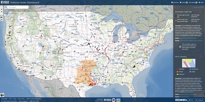
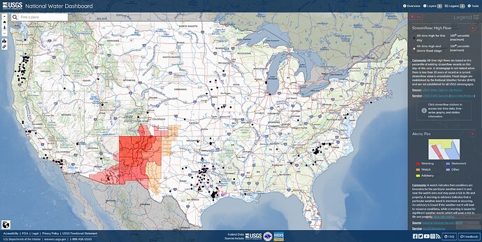
Fire and Flood Warnings
The elements continue to remain completely indifferent to our cultural preferences, hoo ah? Yeah, the laws of physics and chemistry execute over time, no matter how much psychology, determination and credit we throw at it.
Chains are required on all passes 88, 80 & 50 as of this morning. Chain requirements a little east of Dew Drop on 88. Don’t think they will be praticing hose lays today.
[As much as I like this app, it doesn’t make screencapping HI, AK and PR in the same image very helpful. There are, currently, no Fire Watches or Warnings there.]
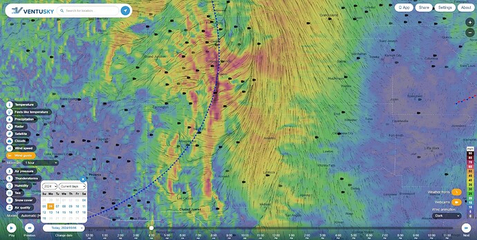
Gusting winds to 80+ mph along sections of the cold front this morning. I’d be double-checking the go bags (and the leathers), today.
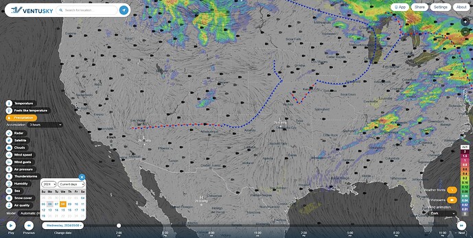
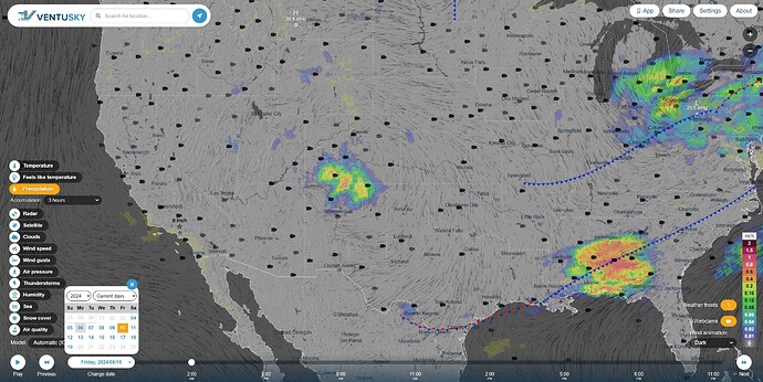
Not much lightning associated with this weather pattern west of Amarillo, but not much precip, either, with a chance for some wetting rain on Friday, as a mixed front passes down from the north.
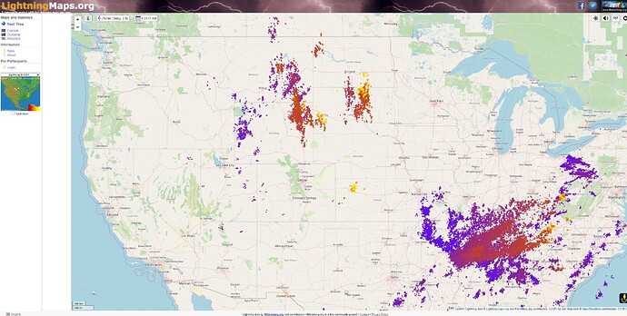
Some lightning in the Colorado high country, WY, MT and the Dakotas, and increasing in Tornado Alley. Current map:
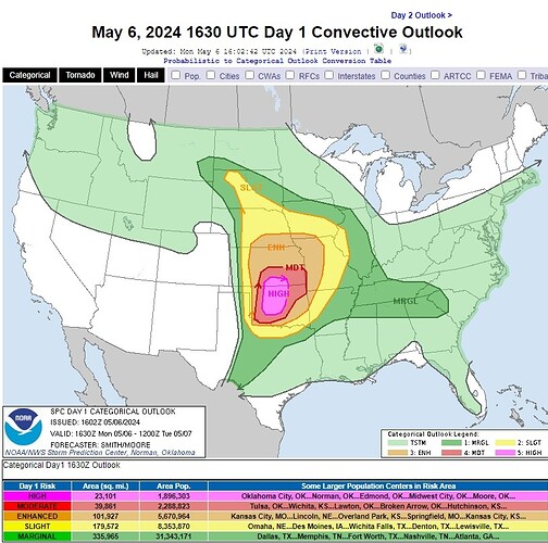
Convective Outlook (forecast discussion):
