1700+ acres and 15% contained, this is being managed foe resource benefit. Objective 10,000 acres. They had tankers and helicopters flying it this afternoon. And a bunch of twidiots are calling it an escaped prescribed burn.
3 Likes
Upcoming Actions: Every fire receives a strategic, risk-based response, and as conditions change, so do management actions. With weather over the next few days forecasted to be less than favorable for the Comanche Fire to fulfill its ecological role, fire managers have decided to limit further growth and take suppression actions.
On Saturday, air tankers and helicopters helped fire crews on the ground continue to keep the fire behind control features within the interior of the incident focus area. Firefighter safety is critical, and aircraft were able to cool the fire’s edge and create buffers to allow crews to continue with their mission. Yesterday’s work was to hold the fire above a previously improved road and to keep it out of an adjacent section of the focus area.
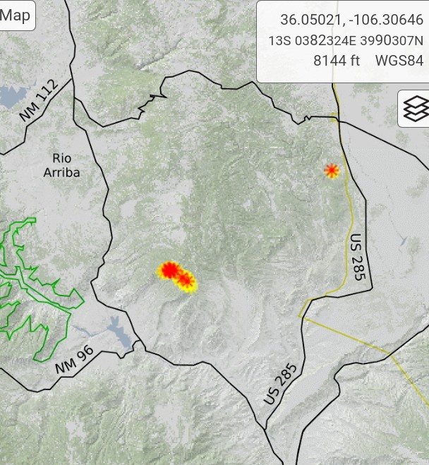
Smoke: Smoke may be visible from Canjilon, Abiquiu, El Rito and as far as Santa Fe and Taos. It may impact the communities of Abiquiu, El Rito, Medenales, Hernandez and the Española Valley. Temporary smoke monitors have been placed at the El Rito Ranger Station, Ghost Ranch in Abiquiu and the Chevron station in Hernandez. Air quality data is available from the Fire and Smoke Map at fire.airnow.gov.
Special Messages: There is a Temporary Flight Restriction (TFR) over the fire area. For the safety of aerial resources and firefighters on the ground, please do not fly drones in the fire vicinity. If you fly, we can’t.
Closure: Temporary partial road closures are in effect on Forest Roads 137 and 20.
Fast Facts
Size: 1,800 acres
Cause: Lightning
Fuels: Ponderosa pine and mixed conifer
Values at risk: Cultural/historical sites. Percent Completed: 18%
Resources: 3 hand crews, 2 wildland fire modules, 7 engines, 1 dozer, 2 water tender, 2 REMS teams, total personnel 186
3 Likes