Starting a new thread for lightning fires across California.
2 new starts in the NOD (Ravendale area)as well as multiple new starts in the LMU and the LNF.
Starting a new thread for lightning fires across California.
2 new starts in the NOD (Ravendale area)as well as multiple new starts in the LMU and the LNF.
The Cohasset Cam has at least 4 fires, maybe 5 fires now showing.
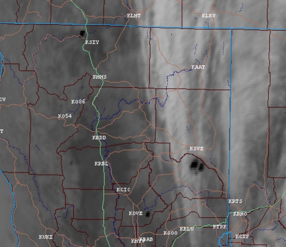
New start showing on the hayfork cam.
http://www.alertwildfire.org/shastamodoc/index.html
MEU 1-1
This one is in southern Trinity County. Looks to have started on state land (MEU) but fairly close to MNF and SRF. Here is the latest spot. Looks pretty remote. Its starting to show heat on satellite.
Just to add in here. Listening to all the fire’s it’s hard to say, but one AA asked for 2 replacement copters because agency copters had timed out for the day.
Alot of heavies have been flying north west out of redding, looks like North of Coffee Creek near hwy3 on flight tracker, any idea what fire?
After putting everything together through modis and Google earth they are working the ramshorn fire. Ramshorn creek east of highway 3.
Thanks!, they’re throwing alot of belly mud at it!
Where did Team 15 end up?
A Redding hotel last I heard.
Team 15 is going to the Lime Incident on the KNF
From SHF : Lightning Fire Update: Horseshoe Fire near Horseshoe Lake in Trinity Alps Wilderness is holding @ 1/4 acre. Middle Fire near Canyon Creek is 100 acres. South Fire near Tomhead Mtn is 1,665 acres. Ramshorn Fire north of Bonanza King is 250 acres.
Any maps or info on the Ramshorn?
1915: CA-SHF Rams Horn Fire: 238 acres, Timber, 0% contained. Active burning conditions with threats to private timber land
Alot of updates on the North Ops page tonight
https://gacc.nifc.gov/oncc/news.php