Wildfire Intel
North Ops Weather-2023
California & Hawaii Hotlist
Questions and Discussion
ghost7
August 20, 2023, 12:25am
248
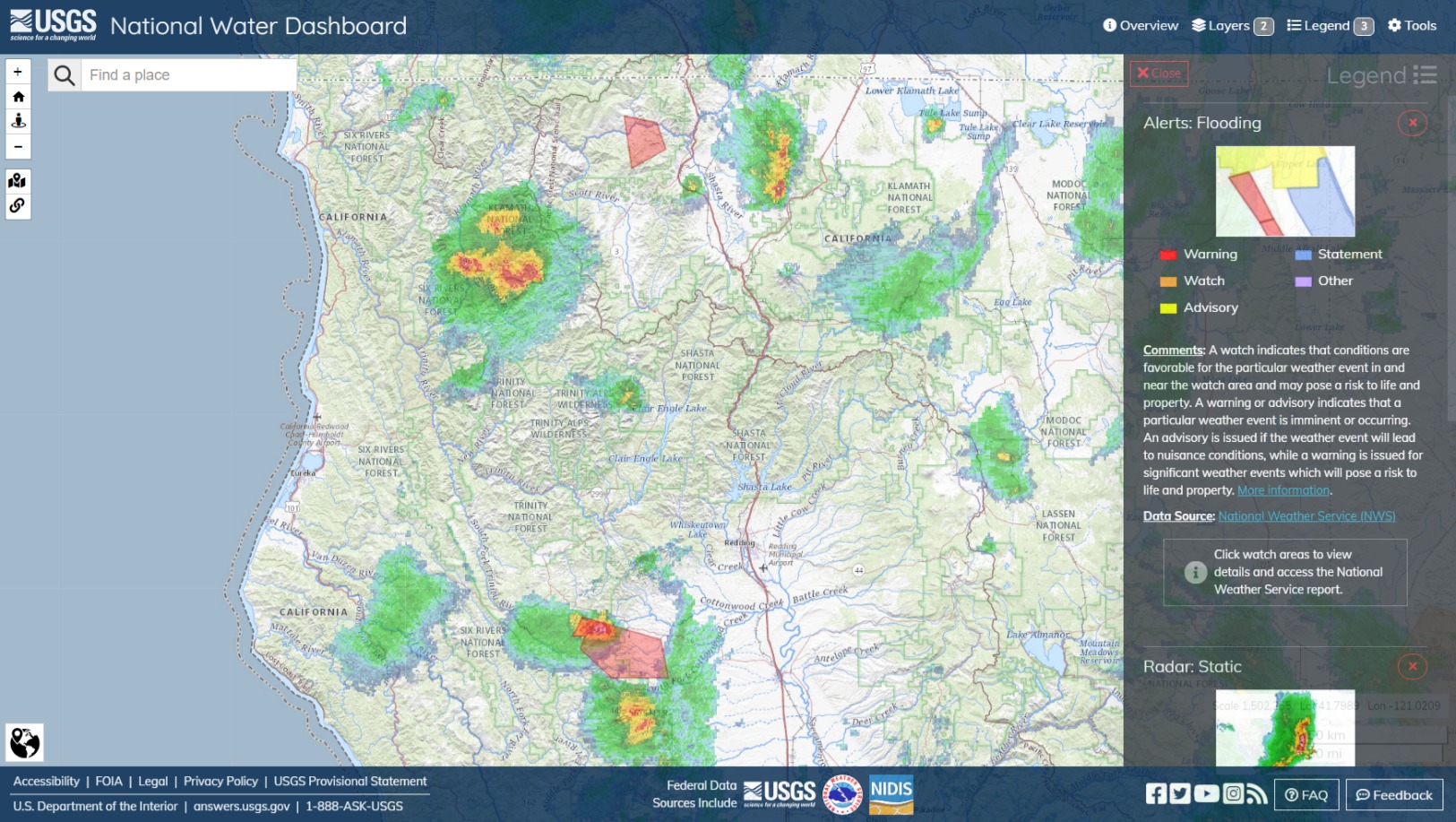
Web capture_19-8-2023_172321_dashboard.waterdata.usgs.gov
1625×917 464 KB
5:24 pm PT Sat Aug 19. Isolated Flash Flood Warnings in Shasta and Six Rivers areas.
5 Likes
Hurricane Hilary - Aug ‘23
show post in topic