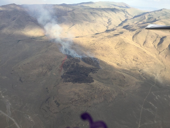
State ID: NV
3 letter designator: SFC
Fire name: Cottonwood
Location: Cottonwood Crk Canyon, west of Pyramid Lake - Google Maps
Reported acres: 120
Rate of spread: MROS on the flanks from camera
Report on Conditions: unk
Webcam link: http://www.alertwildfire.org/blmnv/ Fort Sage cam
Agency Website: (WildCAD resources AA-0CP B312 B3324 B3362 B413 BC 3902 HEL 402 HEL 403 NV TASK SLIDE MT T-879)
CalFire’s GrassValley S2’s are on this along with two SEATS out of Stead. T167 out of Redding just launched. Fire WX is potential for dry lightning day and night. Some cells in area tracking south to north in area of Pyramid Lake.
EDIT 1936: Slow rate of spread on the flanks now, head is either cut off or ran out of fuel. Another new start off the Fox Mtn camera to the north. That cell over Fox had heavy but short-lived precip.
My only update on this - well out of my sphere of intel, just heard T167 off my local base, and cool to see some CalFire aircraft helping on IA on that.
