North of Mono Lake and not sure who’s DPA:
2 Likes
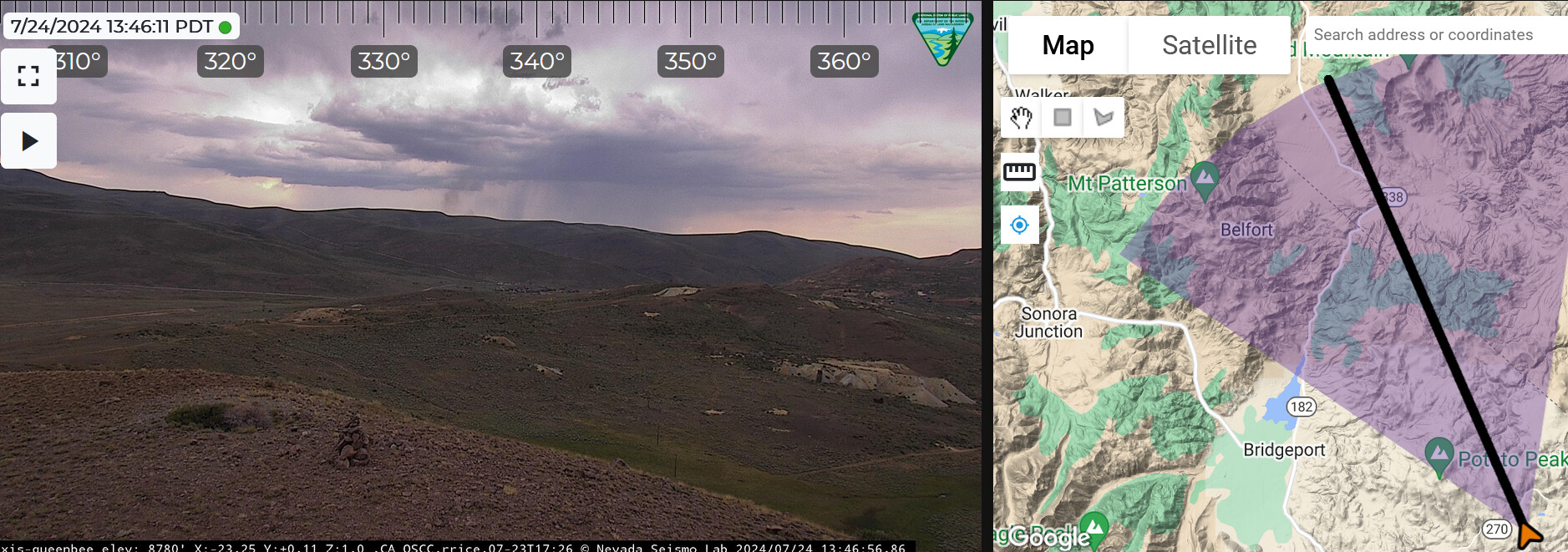
Cow Creek road area, east of Bridgeport. BLM CND, Federal DPA
4 Likes
Looking at the smoke it might have gotten a little rain, time will tell if it helps.
2 Likes
Went on several lightning fires in the area when working out of OVY Camp. If theres not enough moisture to hold it at bay, or crews can’t get on it fast enough. The wind really blows hard in there, then it’s off to the races.
The Bodie herd of Antelope reside in that area.
3 Likes
The 30 min time-lapse shows some rain and the fire starting to pick back up now
4 Likes
40 acres, moving north
2 Likes
Sierra Front WildCAD has this as an NV-HTF incident (yes, that is the correct unit identifier for HTF incidents, even for HTF fires in CA).
https://www.wildwebe.net/incidents?dc_Name=NVSFC
The coordinates from WildCad put it at the border between some private land and the Bodie Wilderness Study Area. The DPA map puts that as CA-CND DPA, but on the GBCC side of the GACC boundary:
https://nifc.maps.arcgis.com/apps/webappviewer/index.html?id=f62c0156e48047f59791293aa794b0f3
HTF resources out of Bridgeport are substantially closer to the incident than the BLM resources out of the Mono Basin, as the fastest way out there is probably through Bridgeport out Aurora Canyon Road.
Since Minden Dispatch (Sierra Front Interagency Dispatch) and the HTF have it, at least in WildCAD as of now, it is probably in the Great Basin GACC. It may show up in their news and notes, although it has not so far:
https://x.com/GreatBasinCC?s=09
Edit: it does show up on the Nevada wildfire information map:
https://nifc.maps.arcgis.com/apps/dashboards/c205f43ea5df4f98b6d0f0f709d15e2f
Mobile version of the dashboard:
https://nifc.maps.arcgis.com/apps/dashboards/96c364d76b2d483aaf4538daaefc6ea4
Edit 2: Coordinates from WildCAD that I used: 38.300167, -119.074167
https://goo.gl/maps/38VD37FpfwrX1fe96
Edit 3 Watchduty link:
Cow Camp Fire @ Cow Camp Road, east of Bridgeport - #CowCampFire https://share.watchduty.org/i/27513
7 Likes
now 60 acres, still active with interior pockets of heat
2 Likes
Activity picking up, fire starting to make uphill runs. Order placed for LAT’s
2 Likes
Updated coordinates from WildCAD, puts it a little farther north:
38.316100, -119.07875
2 Likes
WildCAD now has this listed as a CA-CND (BLM Central California District) incident, which matches the DPA map:
https://www.wildwebe.net/incidents?dc_Name=NVSFC
I am guessing that Sierra Front/Minden is still the ordering point, but it is hard to say for sure without being there or listening to radio traffic. It is still looking like it is in the Great Basin GACC based on the map.
California BLM has posted about it on X:
https://x.com/BLMca/status/1816222222039576703?s=19
2 Likes
When I worked in OVY Camp that area was like the Bermuda Triangle of ordering and jurisdiction.
3 Likes
For sure. There are lots of fires in northern Mono County that are in SRA protected by California BLM that sit in a different GACC and the first in resources are probably from the HTF. Getting resources across the GACC/dispatch boundary was sometimes quite difficult also, although I believe it has gotten better.
3 Likes