State ID:NV
3 letter designator:HTF
Fire name:Rockfarm
Location: Salmon River court
Reported acres:
Rate of spread:
Report on Conditions:
Structure threat:yes
Resources:AA-0CP B312 B3362 B3366 B413 B5160 H-405 T-839
Hazards:
Weather:
Radio channels:
Scanner link:
Webcam link:http://www.alertwildfire.org/sierra/index.html?camera=Axis-Steamboat&v=81e003f
Agency Website:
Alternate angle for more context: http://www.alertwildfire.org/sierra/index.html?camera=Axis-Slide&v=81e003f
Thanks… I was just looking that up. A couple of engines from our local FD just responded to the incident (they called it the Arrow Creek Fire… local naming based on the subdivision?).
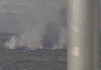
Based on the timelapse from this cam there are multiple structures involved. Outflow driven extreme fire behavior.

http://www.alertwildfire.org/tahoe/index.html?camera=Axis-NOAA&v=81e003f
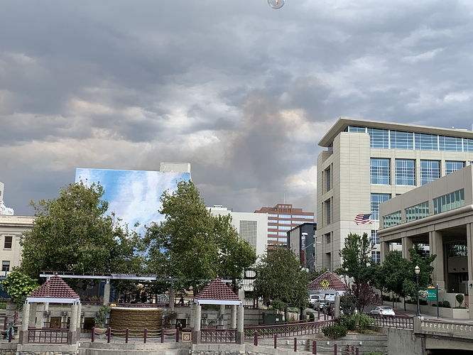
And thunderstorm activity, from this camera angle.
RENO, Nev. (KOLO) - A fire is threatening the Galena area of South Reno.
The Rock Farm Fire first broke out on BLM Land. North Tahoe Fire has sent a strike team to the area to assist.
The area is just north of the Mount Rose Highway.
The Washoe County Sheriff’s Office reports evacuations for Melarkey Way, Carl Drive, Rock Farm Road, Copper Cloud Drive, Broken Feather Court and Rainmaker Court.
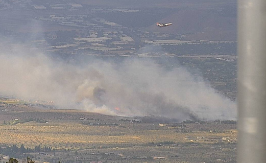
VLAT spotted. (T914)

T910 and T914 both on scene per Flightradar24.
Tanker 914 per FlightRadar24
And now I see Tanker 910 too
http://www.alertwildfire.org/tahoe/index.html?camera=Axis-Slide&v=81e003f
Run it back fifteen minutes & both are in the camera shot.
914 was in the air, heading for the Hog when the airshow there was shut down due to the weather. Looks like T944 is also turning towards this fire.
This was a structure fire into the brush. 2 structures lost. 120 acres 100% contained.

