Particularly Dangerous Situation (PDS) red flag warning issued for the Davis Fire by NWS Reno.
…RED FLAG WARNING REMAINS IN EFFECT UNTIL 8 PM PDT WEDNESDAY
FOR GUSTY WINDS AND LOW HUMIDITY FOR WESTERN NEVADA SIERRA FRONT
INCLUDING THE DAVIS FIRE…
This is a Particularly Dangerous Situation for Wednesday
starting at 11 AM.
CHANGES…Upgraded Wednesday to a Particularly Dangerous
Situation for the Western Nevada Sierra Front.
Affected Area…Fire Weather Zone 420 Northern Sierra Front
including Carson City, Douglas, Storey, Southern Washoe,
Western Lyon and and Far Southern Lassen Counties.
Winds…On Tuesday, southwest winds 15 to 25 with gusts to 30
mph. On Wednesday, west to southwest winds 15 to 30 mph with
gusts of 40 mph or more.
Humidity…On Tuesday, 12-18%. On Wednesday, 18-25%.
Duration…On Tuesday, 3 to 5 hours with decreasing winds
overnight. On Wednesday, winds may start as early as 9am with
6 or more hours of critical conditions.
Impacts…The combination of gusty winds and low humidity can
cause fire to rapidly grow in size and intensity before first
responders can contain them.
Additional Details…The last PDS Red Flag Warning was issued
September 15, 2019.
One of the comments by IMT spokesperson was “we are expecting seven (7) miles of fire growth tomorrow”. Winds out of the west 40 mph with gusts exceeding 50 mph.
I was doing some research about the Particularly Dangerous Situation Red Flag warnings. It has been used 7 times since 2017. Of these 7 times, 5 have been issued in Reno. The other 2 were in Texas and Oklahoma.
As I noted to friends who have moved out of the area, seven miles will bring the danger zone to South McCarran Blvd. – the “ring road” which encompasses Reno / Sparks.
In fact, “Evacuation Warning” (yellow) zones were expanded today after the PDS was declared. (As metrohazmat noted – it has been declared here in the region before.). Between terrain and the unique wind patterns, this conflagration has the potential to spot a good distance from origin into the urban interface.
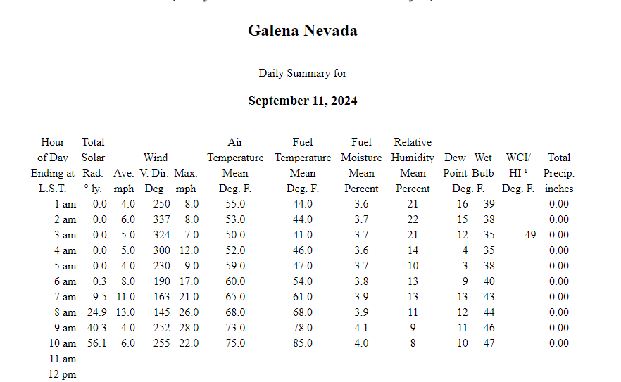
The 1 pm report from the Galena RAWS site show the winds are increasing to 22 mph sustained with gust to 37 mph. The slide mountain camera and the Calaveras camera aren’t showing much smoke production. Hoping it stays that way.
The Davis Fire remained within the containment lines today and containment increased slightly from 31% to 37%. Acreage is 5,824. The work put in yesterday and last night paid off. Evacuations have not changed. Weather is favorable tonight with RH getting up to ~60% and winds dropping to single digits out of the NW. Fixed wing and helicopters should join the fight tomorrow.
I have to second this. Between this site and WD I could keep track of what the fire was doing. Had some friends that were evacuated off the Mt Rose Hwy. I could keep them informed of what was going on with the fire. The were in a hotel for 5 days.They were able to go home today and their house is still standing.
Thanks to the hard work of Air, Ground crews and all involved.