The Potter Fire was reported at 9:00am, Sunday, July 31, 2022. It is near Potter Mountain on the Middle Fork Ranger District of the Willamette National Forest. Its size was originally estimated at 60 acres.
43.375 latitude, -122.343 longitude
Shawn Sheldon, NW IMT 6
Currently 85 acres
150 acres on wildcad
3 Likes
Wow… 97 is a lot different than 400 
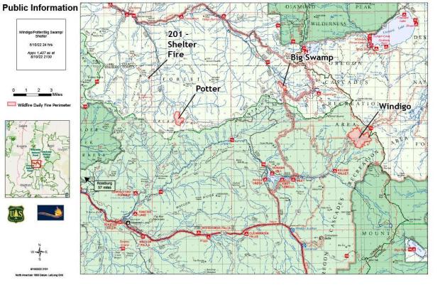
Potter Fire
Acreage: Approx. 97 acres
Containment: 0%
Location: 8 miles northeast of Toketee area
Cause: Lightning
https://inciweb.nwcg.gov/incident/article/70166
1 Like
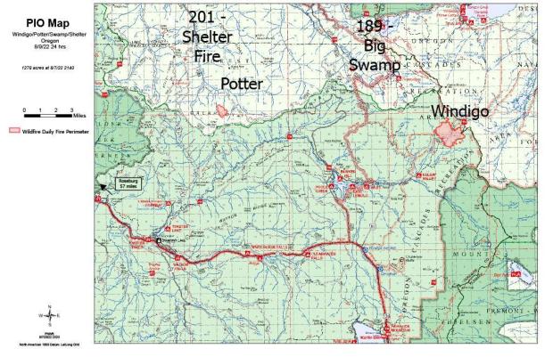
The Aug 9 morning Operational video for the #windigofire & #potterfire is here: tinyurl.com/yckww9b5
@willametteNF
1 Like
Total Personnel
329
Size 345 Acres
 Estimated Containment Date
Sunday October 30th, 2022 approx. 12:00 AM
1 Like