Super El Niño

Ocean surface temperatures have now been at all-time record warm levels for 66 straight days. With a strong El Niño looking increasingly likely,

Now estimates that 2023 has a 56% chance of being the hottest year ever recorded.

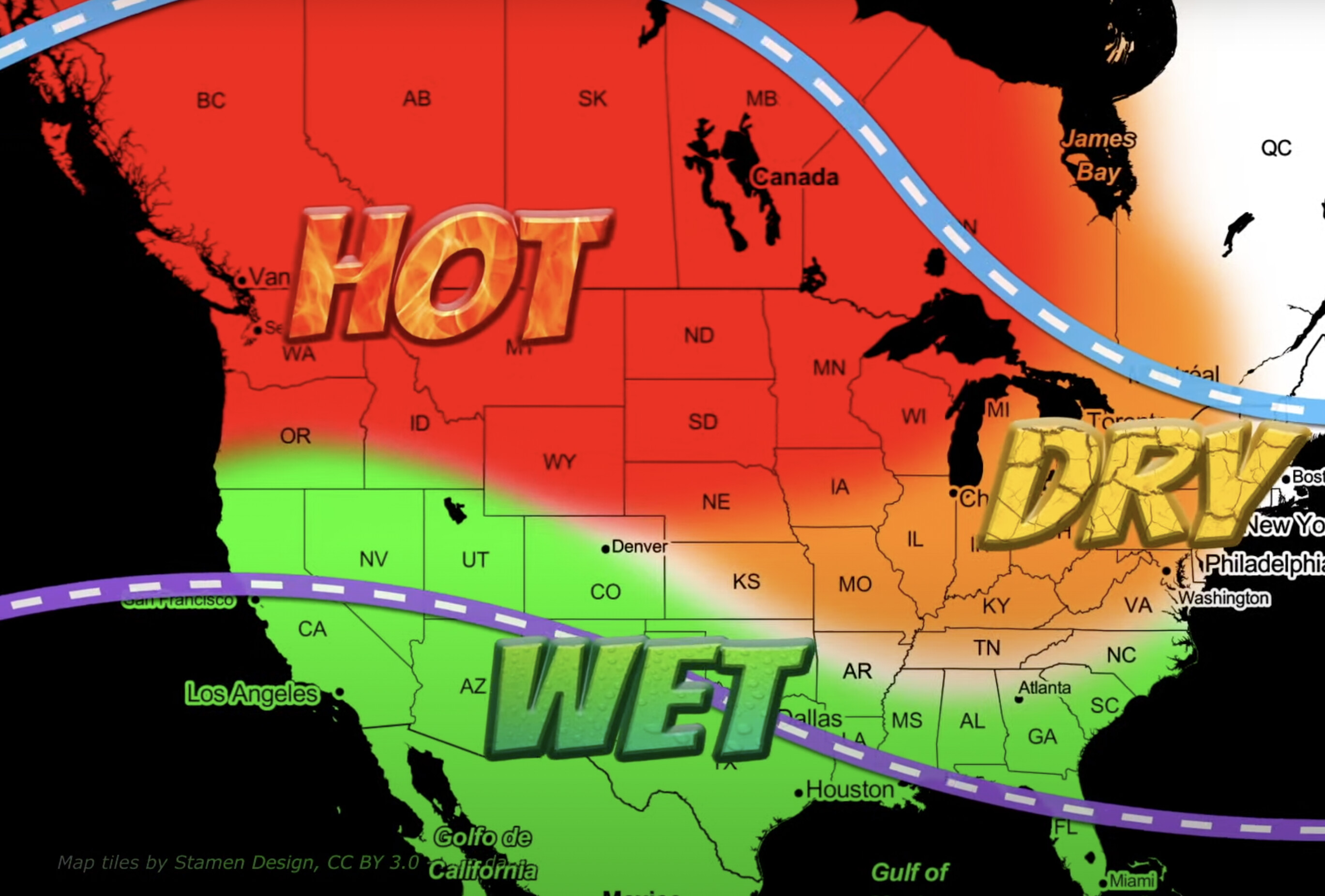
It appears it could be wetter for California and more hurricanes for Baja Mexico.

Santa Ana winds (south) - Diablo Winds (North) in the fall? Thoughts?

Good video: https://youtu.be/j1pE4DJqRWw

6 Likes
5 Likes
2 Likes
2 Likes

No bueno on last year’s forecast:

14 Likes

Thanks FireCapt for that reality. Very few people pay attention to what was forecasted and what actually happened. It’s not the first time that has happened.

Where are the actual weather discussions? Why do we just get news articles from agenda based news organizations? We need good weather discussion, not media hype. Where did all our weather contributors go?

6 Likes

So your saying Prediction is just a big word for Guess. :slightly_smiling_face:

8 Likes

W.A.G.? or S.W.A.G.?

1 Like

WeatherWest.com. Dr. Daniel Swain is my “go to”. His YouTube is great as well.

2 Likes

Informed Speculation…

5 Likes

We’ll see.

2 Likes

Time to unretire and breakout the old weather rock again.

6 Likes

Don’t laugh to hard about your rock ha ha. I used a rock that on the bottom side of the hill going up Twain Harte Grade from Soulsbyville on Hwy 108. When that rock stops dripping water from the winter rains, the ground and fuels are drying out enough to burn. I have been using that rock for 26 years. When it drips nothing burns.

12 Likes

Seems reasonable enough

Weather rock - Wikipedia.

:rofl::rofl:

6 Likes

11 Likes

In this particular case while there are a lot of “El Nino” benchmarks being met… there are some conflicting data.
El Nino and La Nina are really indications of wind directions off the coast of South America. The wind direction moves the pool of warm water which has an effect on convection and to some extent the jet stream. Just looking at the Nino state and Sea Surface Temperatures is like looking at a Santa Ana day in the middle of March on a really wet winter. Yes… the RH is low, yes the winds are 40-50 mph but the fuel moisture is really high and there is green grass everywhere.
Some things to watch… where the LP starts to set up in the Gulf of Alaska. A westward shift will allow storms to ride under it, and eastward shift and we could be trapped under HP all winter and suffer with dry inside sliders.
The Pacific Decadal Oscillation( PDO). If that phases to a positive state from its current negative state that would signal a better prospect of a wet winter.
Watch the MJO ( Madden Julien Oscillation). That is an indicator of enhanced convection in the Indian Ocean and potential storminess over the west coast once the pattern propagates forward. Watch the East Asian Jetstream location. If we start to see the southern branch of the jet stream get active we can expect series of conveyor belts of storms.
All the indicators are there for a strong El Nino which would put Socal in a favorable position for more storms. The dividing line between wet and not so wet would be around Sacramento. Areas north of Redding in a classic El Nino would be on the dry side.
Last winter was an anomaly… a triple dip La Nina with a very El Nino like pattern of storms but with a lot of cold air.
As far as long range forecasts the CFS and several other of the long range models have been all over the place… all were showing a wet period between December and May.
If the warm pool of water remains to far west… we would enter Modaki country… that would be a pattern that would favor some dry periods.
Still too early to bet all on red… but the odds are in favor of a potential wet winter for the southern 2/3 of the state… we will see.

5 Likes
4 Likes
3 Likes

Weatherman wo
Cut off low

Gunna be an interesting week

4 Likes

ENSO Discussion Update

https://www.cpc.ncep.noaa.gov/products/analysis_monitoring/enso_advisory/ensodisc.shtml

4 Likes