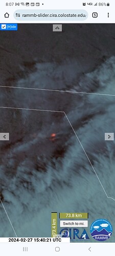
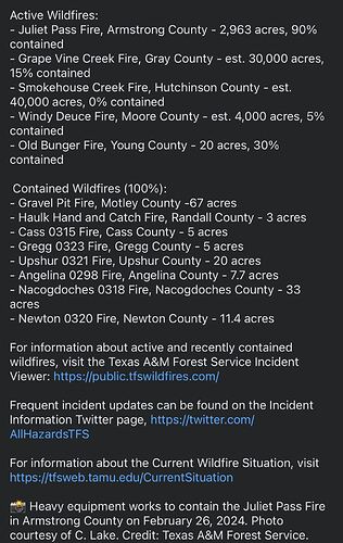
Texas a&m forest service reports that the smokehouse creek fire has grown to 40,000 acres 5 hours ago. A quick and dirty modis/firms map measurement puts it at 105,000 acres and has moved into Roberts county.
Fire is still active with a rapid rate of spread, it looks like they stopped the Eastern spread last night but the north flank has blown out. wind is out of the southwest.
Wildfire Update - February 27, 2024 - 9:30 a.m.
Yesterday, Texas A&M Forest Service responded to 13 new requests for assistance on wildfires that burned 77,135 acres across the state.
Several large wildfires ignited yesterday under warm, dry and windy conditions across the Texas Panhandle.
Today, strong winds will likely impact these wildfires, causing them to grow larger. There is a possibility for wildfire activity to occur where an abundant amount of dormant grasses are present on landscape in the Texas Panhandle. There is also potential for fire activity in East Texas, the Rolling Plains and western Cross Timbers.
For information about active and recently contained wildfires, visit the Texas A&M Forest Service Incident Viewer: https://public.tfswildfires.com/
NIFC just updated Smokehouse Creek to 100k acres
Per inciweb 200,000 acres. The fire is now north of canadian and with approaching wind shifting to the north it may head south towards town.
Now crossed over into Oklahoma and the wind has shift to the north.
Canadian is being told to shelter in place.
I would guess they must be stripped for resources that’s one fast moving incident especially with the cold front impacting it now and the wind shifting (Yes I get there’s a lot of stuff available nationally but I mean at the incident itself)
Newest update on Smokehouse fire is 250,000 acres
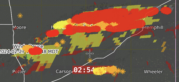
The windy deuce fire and smokehouse are surrounding the town of Borger.
Unfortunately I don’t have very many official resources but from online talk about, sounds like additional resources orders have been placed
There is potential the windy deuce fire could threaten parts of Amarillo.
Is this covering the windy deuce fire?
Didn’t say where but from the radio traffic they are setting up structure protection resources and sounds like utilizing check and go tactics in some areas
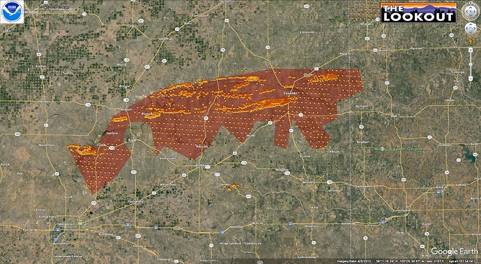
Satellite heat detections for the Texas Panhandle show 1.2M acres of fire spread over 100 miles east to west. This perimeter is from data current thru 2/26/24, about 9pm, Central Time.
Source: https://www.ospo.noaa.gov/Products/land/hms/data/latest_fires_final.kml


