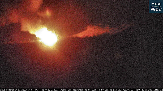
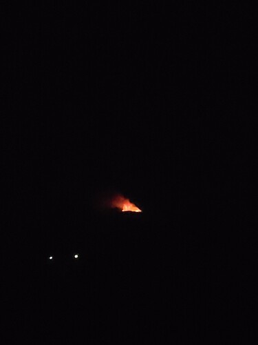
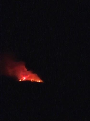
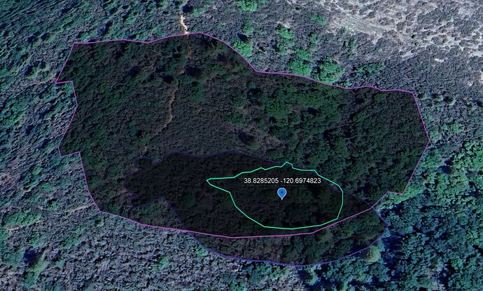
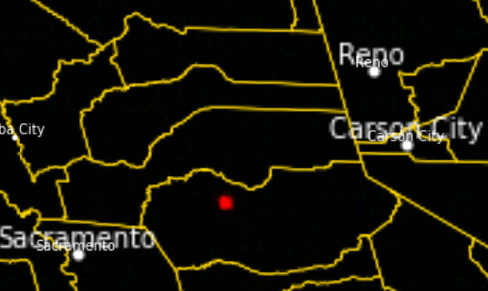
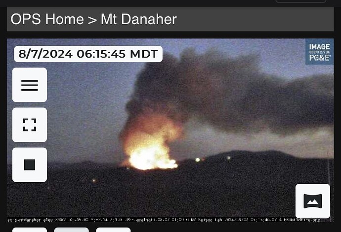
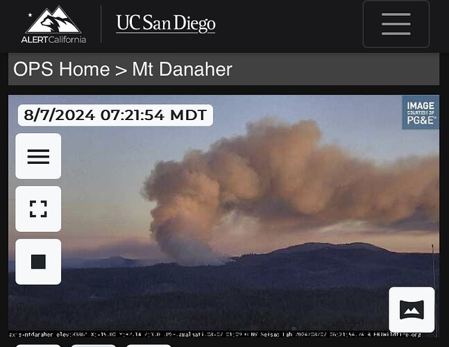
New start off of Mosquito Road NW of Slate Mountain. Near a fire from earlier.
Putting off a decent glow that can be seen from shingle springs.
3 to 4 acres. MROS. Staging at Swansboro Airport.
Short range spotting
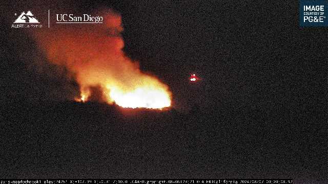
7 acres, well established in the drainage, running to the top of the ridge.
Updated to approx, 25 acres, 2 spots ahead of the main fire. Working on getting the dozer access, may have to widen the current road… Scouting it out now
Was hearing talk of getting a helicopter in there but not sure of the outcome, nothing in the air as of yet
Evac orders for the area of Mosquito, including some of Swansboro.
Warnings for areas south of Wentworth Springs Rd. from Georgetown to Stumpy Meadows, down to the South Fork of the American River.
All incoming units advised to use hwy 193 to Rock Creek Rd., do NOT use Mosquito rd
75 acres and still very active
Location: Swansboro Airport
Current Temperature: 81°F
Relative Humidity: 24%
Current Wind Speed: 11 MPH
Wind Gust: 16 MPH
Observation Timestamp: 04:40
Here is a link to a nine-camera multiview. ALERTCalifornia - Tile Display
Kind of worst case scenario here… road in and out is a lane and a half at best on Rock Creek Rd… Mosquito road is barely passable by large pickup truck. County is currently building a new bridge on mosquito rd so it may be closed. Having apparatus coming in Rock Creek and panicked civilians leaving could be a recipe for disaster
Your Spot On. The brush and Timer are thick out in Swansboro county. Slabe Creek is steep with lots of rattlesnakes. The roads wasn’t made for the growth that has happened in that area. I hope they hit this fast and hard.
KCRA has live footage from overhead. Ugly country with continuous fuel. Ugh
IC asking for 2 VLATS…. Camino stating only 2 LATS available from MCC. Should be enroute soon
Don’t see much fire history in that area going back to 2000. King fire of 2014 is the closest, runs close to this on the East side. But lots of room to grow
