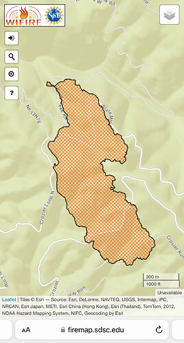
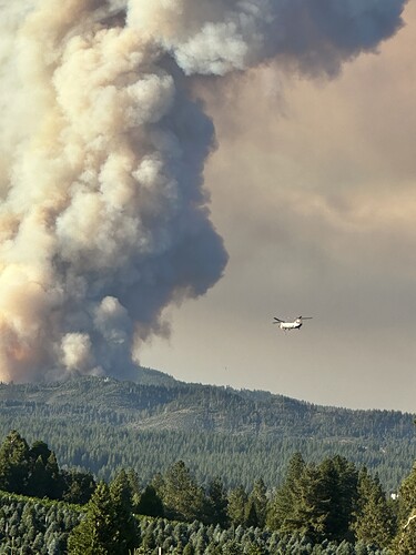
With mosquito road being out in front of this thing, well kept spi ground after, and the king fire burn scar, they could be be ale to keep it under 10k if the winds don’t get to crazy up there
Don’t think Mosquito Rd will be a factor. Not wide, and typical unbrushed FS road. No time to prep it. Main factor to stop east spread will be the King burn scar, even though that’s now 10 years old. SPI did a good job with salvage work, and its pretty good dozer country. My concern is a change to a south wind, pushing north towards Quintette, etc.
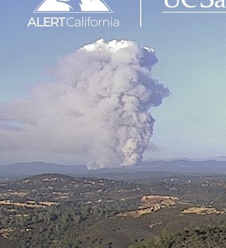
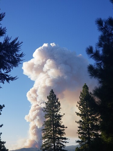
Capping out (still ) @ 1910. If you look at bottom of photo, just left of tree, you can see the flame height
The South and West of the fire are definitely the main concerns. I worry it gets into the Silver Fork drainage.
https://ops.alertcalifornia.org/cam-console/2111
Looks like a volcano on the 30 min timelapse
So unless the winds turn unexpectedly, Georgetown is pretty safe
392 acres per CF Site
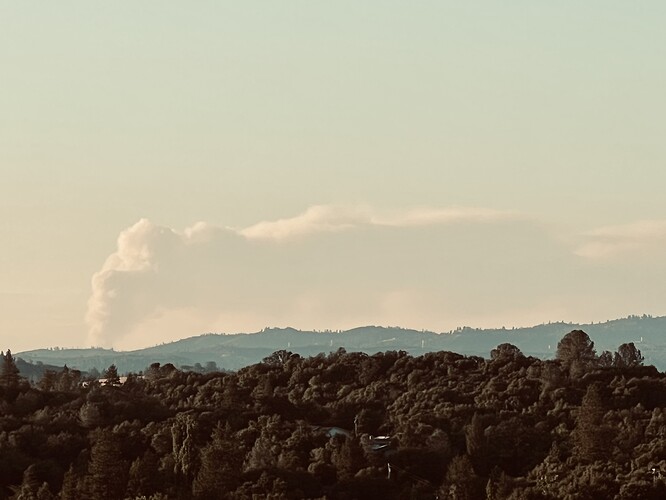
The plume has fanned out over Tahoe. Gonna be an ugly morning at the lake tomorrow.
Be ready. Boy Scout motto: BE PREPARED.
https://app.perimeterplatform.com/incidents/polygon/39688
Evacuation Order - Level 3 - Go
Evacuation orders have been issued for the Garden Valley, Georgetown, Volcanoville, Mosquito, Quintette & Swansboro areas
Does anyone have links to the ops, division maps, etc?
Unlikely to see that until morning when an IAP is produced and maybe not even then. It’s still a pretty new fire.
Thanks. I’m just trying to find out which division is closest to my house.
Since you are northwest of the origin, it probably be around E (echo) or F (foxtrot), maybe a little further into the alphabet (Gulf or Hotel).
Copter 1NC (1 November Charlie) just went in service with Camino as Night Helco. Anticipate night helicopter ops, if conditions meet the ops requirements.
CF Copter 604 (Blackhawk) and 0CH (Chinook) are up over the fire with 1NC… I dont have the Air/Air freq, so dont know what they have decided about the night air ops, or where they might work?
