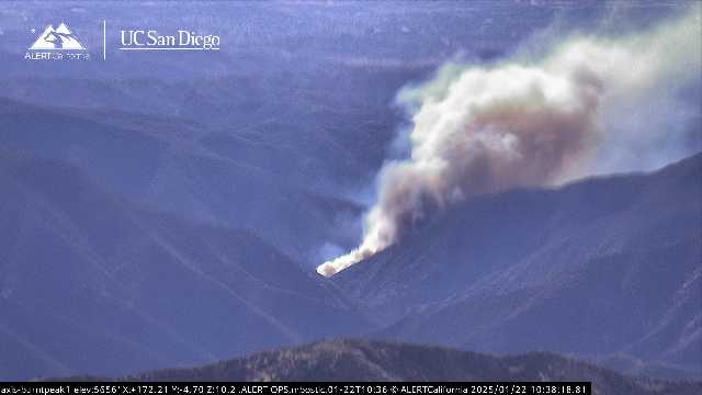
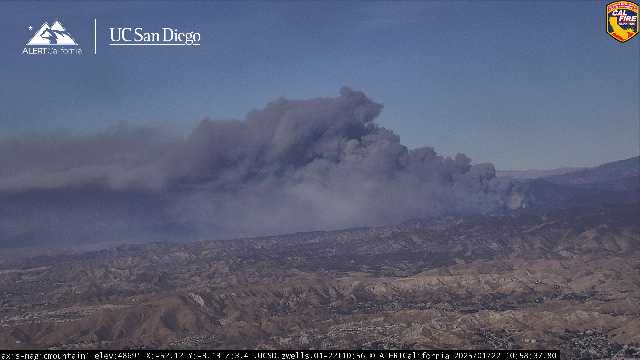
New start showing on Burnt Peak camera

https://ops.alertcalifornia.org/cam-console/5562
Lake Hughes road x Dry Gulch road area; north of Castaic
New start showing on Burnt Peak camera

https://ops.alertcalifornia.org/cam-console/5562
Lake Hughes road x Dry Gulch road area; north of Castaic
Calling it 50-100 acres RROS.
Aircraft assigned: AA3NT, AA8NA(T), B75, T169, T181, T104, T107, T02, T41, C14,C15, C17, C22, C609, H532, HT55, HT-25M, HT-0HX
Anyone have the radio frequency
ANF FS Net
IC requesting 10 type 3 ST.
Thomas fire esq ROS

10 TF or 10 Charlies, whatever they can get
10 crews, 2IA or better
12 water tenders
IC advising a substantial order soon.
Hughes really wasted no time getting in full alignment with the terrain and wind out there… Thankfully, this area is far far less populated than what we saw with Eaton and Palisades but if he keeps on this track, this fire could very well affect the great Castaic area in a matter of hours…
Communication Plan:
COMMAND: FOREST NET TN10
PTAC: R5 TAC 4
STAC: R5 TAC 5
AIR: A/G 59
CRW: LAC CREW
VICTOR: 125.675
500 + acres with strong winds.
KTLA live video…
https://ktla.com/news/local-news/brush-fire-ignites-near-castaic/
500+ Acres and running hard per ops
Pushing out evacuations further, no boundaries for evacuations yet.
Pulling everyone back due to fire behavior
The area is burning is rural but the wind will push it into a very highly populated area. Pretty quickly
Looks to be barreling straight into 2022 Route fire scar, hopefully that could slow it up. But with FMs and the grasses in this area it won’t be as much help as a scar in norcal.
Ktla copter view showing spots pretty far out in front north of Castaic lake. Looks like it will impact the 5 in not too long
Calling spot out at Ridge Route Rd, Helc looking for it