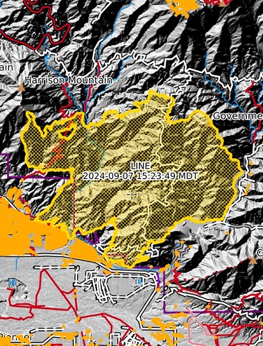
Bump for the link to the tile display. She angry.
Across 330
People need to get off that mountain now
whats the latest comm plan?
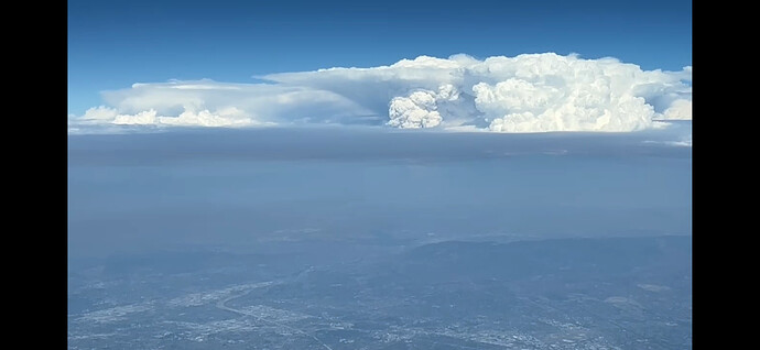
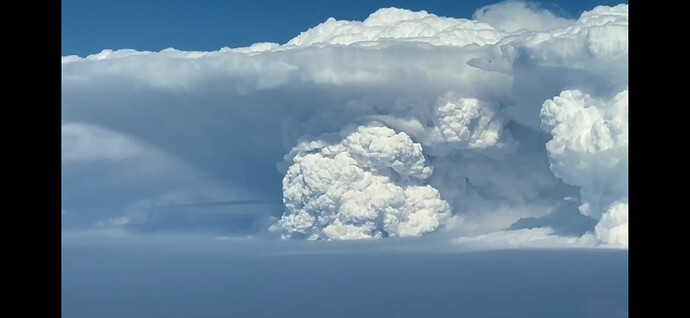
Here’s a view from a little bit ago from out over the pacific in my brother’s jet. They’re two screen shots from a video that I can’t seem to post.
10 minute dunlap acres is intense on the bottom
Where might we find a best-guess map of the current perimeter?
Thank you. That helps.
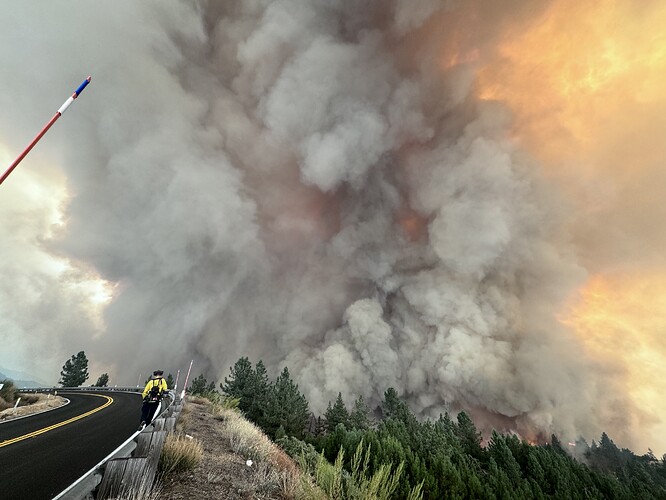
I’m on 330 a few miles below running springs and fire has crossed highway. rotating connective column and extreme fire behavior. anyone with a mandatory evacuation should be getting moving.
Any guesses on acreage
Any audio links?
I am also curious about this! Weather related?
Over 7100 a little bit ago
Keeps running hard might make it to the desert.
Im more worried about it running west into the Waterman drainage and cutting people off on the 18
The lack of media helo coverage is an embarrassment.
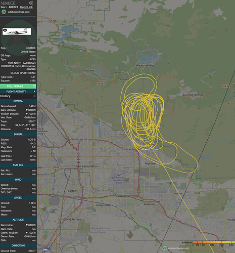
Per Tanker 12 he believes the column is starting to collapse and it will smoke out SBD for Re-load.
Last thing needed is media locking up all the roads. Im sure its being covered in local area.

