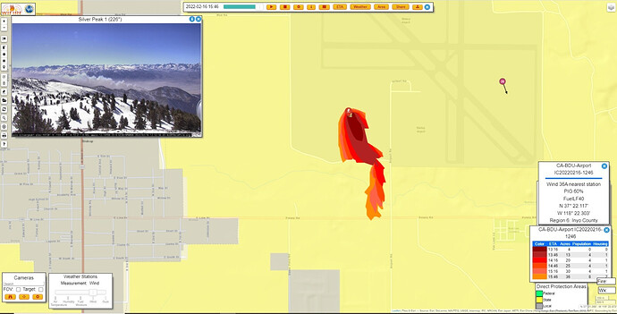
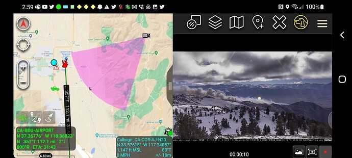
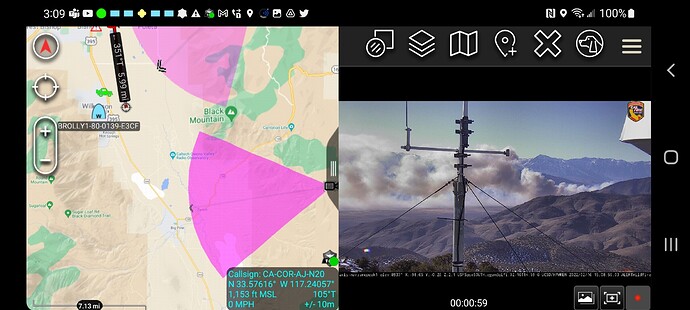
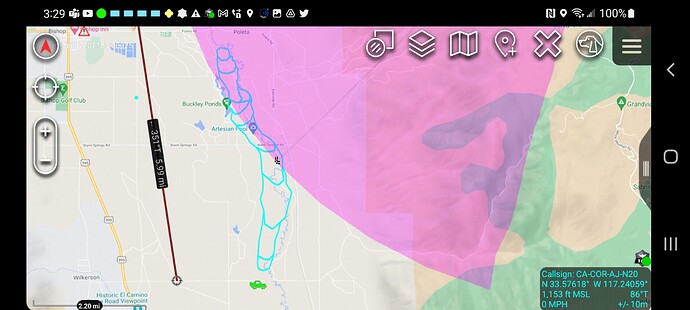
State ID: CA
3 letter designator: BDU
Fire name: Airport
Location: Southwest of Bishop airport, Airport Rd, crossing Poleta/Line https://goo.gl/maps/6BEyEzKgjXmgKRA58
Reported acres: 25-50
Rate of spread: Critical
Report on Conditions:
Structure threat:
Resources:
Hazards:
Weather:
Radio channels:
Scanner link:
Webcam link:
Agency Website:
Scanner feed:
Potential for 1,000 acres per BDU.
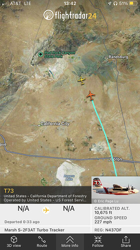
Flightaware has an ADSB reciever right above Bishop. It’s got better local coverage.
#AirportFire Update: 100 acres dangerous rate of spread potential for 1000 acres. Additional air and ground resources on order. Road closure Warm Springs and Collins from Hwy 395. Cause under Investigation. @InyoSheriff @Caltrans9 https://twitter.com/CALFIREBDU/status/1494070260885954563/photo/1
#AirportFire Air attack;
4 Cal Fire Tankers (T88, T86, T73 and T100)
1 USFS Tanker
Multiple helos responding
Temporary Flight Restriction (TFR) ordered for Bishop Airport and surrounding areas.
Wildfire - #AirportFire
#InyoCounty
@CALFIREBDU
Map Link: https://napsg.maps.arcgis.com/apps/webappviewer/index.html?id=6dc469279760492d802c7ba6db45ff0e&query=USA_Wildfires_v1_5644,UniqueFireIdentifier,2022-CABDU-002479
#CA #CAWILDFIRES #CALIFORNIAFIRES #FireSeason2022
#firetwitter
#FireMappers
OCFA FIRIS Intel 12 has launched to the Airport Incident, Inyo County https://twitter.com/FIRIS/status/1494081594780442625/photo/1
Engine and crew Strike teams coming from AEU and TCU as well
Current estimate is 1,330 acres. Could impact the Caltech Owens Valley Radio Observatory just north of Big Pine within a couple of hours.
Heard potential for 4000 acres as well
Based on CHP CAD traffic putting it at collins road and distance to Airport is 6 miles.
Intel 12 just mapped it at 2,151 acres.
Current tankers flying the fire 73, 85, 86, 88, 90, and 100.
Air Attack 430 over the fire with AA330 enroute for relief.
Tankers are loading out of Porterville.

