data package is posted maps.takserver.us
1 Like
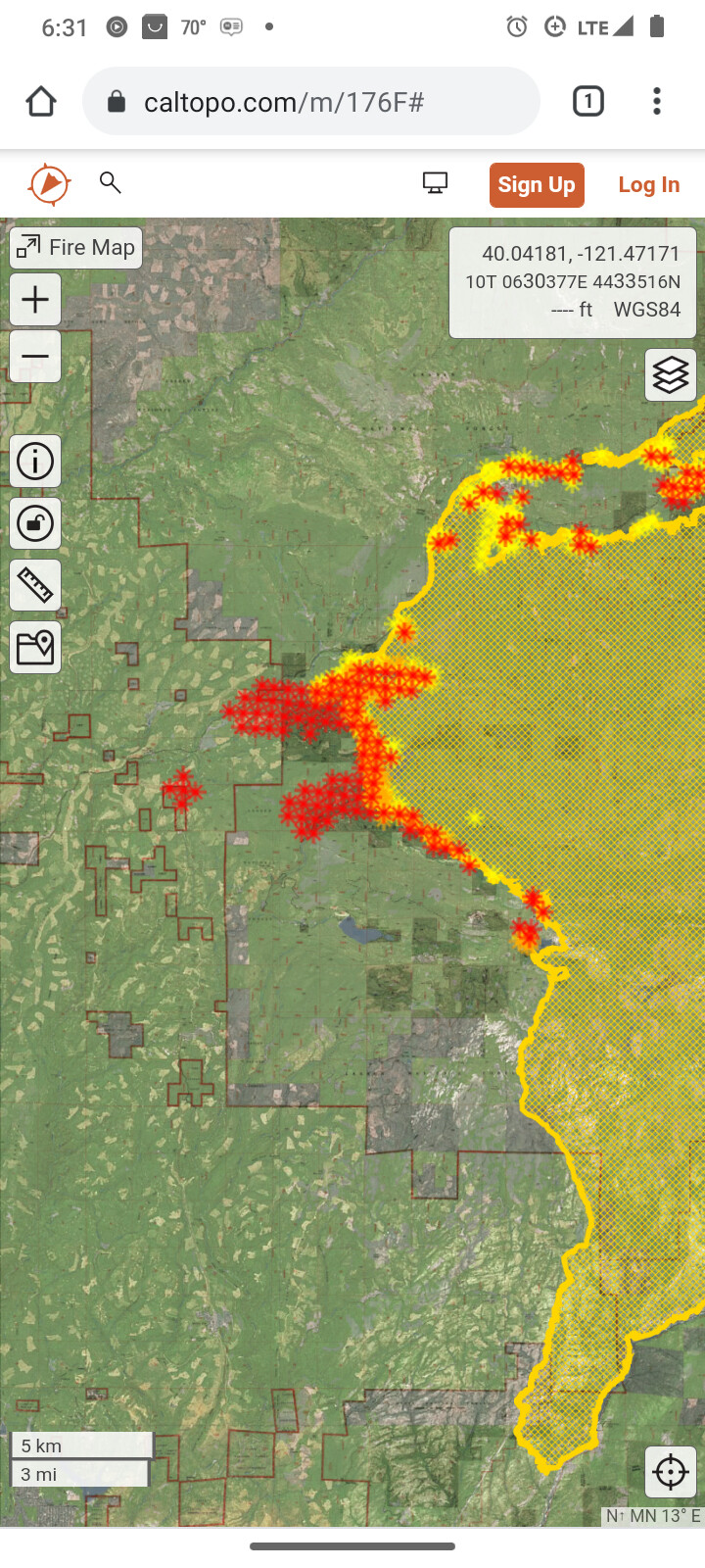
This evening’s CAL FIRE update reports 220,012 acres with 23% containment.
4 Likes
DATA PACKAGE is posted at maps.takserver.us
1 Like
They brought fire down Humboldt road and humbug summit road tying divisions F & E in.
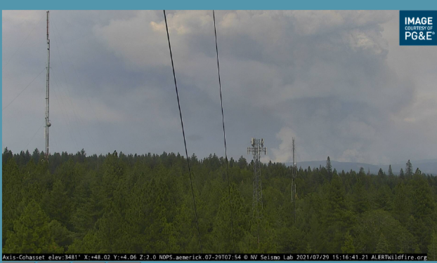
Looks impressive on the camera.
8 Likes
Yes it does…This book needs to end.
5 Likes
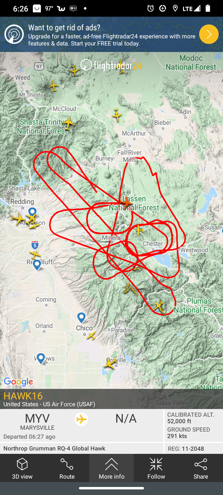
they were getting cloud to cloud lightning on the east and west zone plumes.
Hawk16 drone is doing recon around those plumes flying 52,000 feet.
6 Likes
CAL FIRE reporting 226,421 Acres and still at 23% containment this evening.
1 Like
@TheBrushSlasher asked around about the the RQ4 and folks at the 163rd think its from NASA.
4 Likes
Someone on command is reporting a new start from lighting above Taylorsville and asking for a dozer or a lima to go to it.
Location of strike?
North arm up by the Buffalo Ranch is the approximate location. Looks like it is going to make a run.
Being called the Evans fire.
3 Likes
data package posted at maps.takserver.us
2 Likes
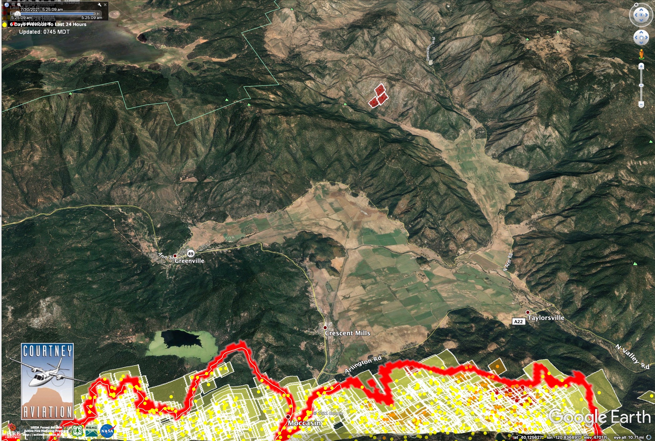
That’s right in the Moonlight burn scar. Mostly brush.
Data Package up at maps.takserver.us
2 Likes
A post was merged into an existing topic: CA-BTU-Dixie?
240,795 acres and 24% contained.
6 Likes
Data Package posted. maps.takserver.us
1 Like