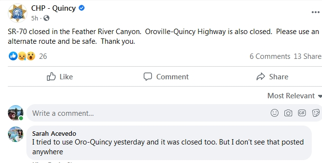
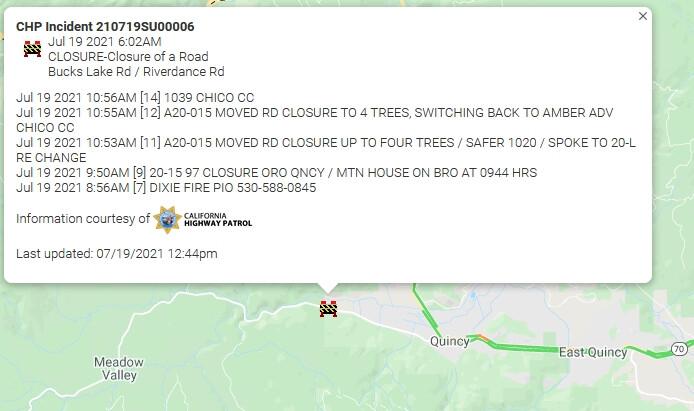
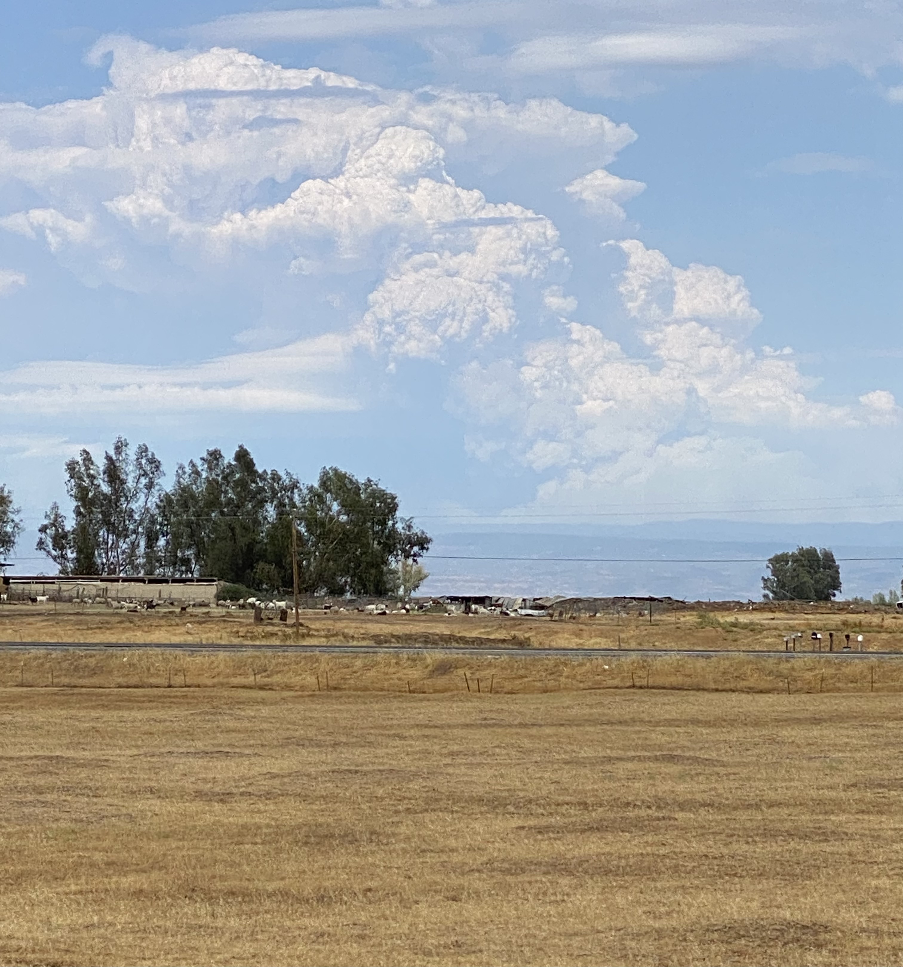
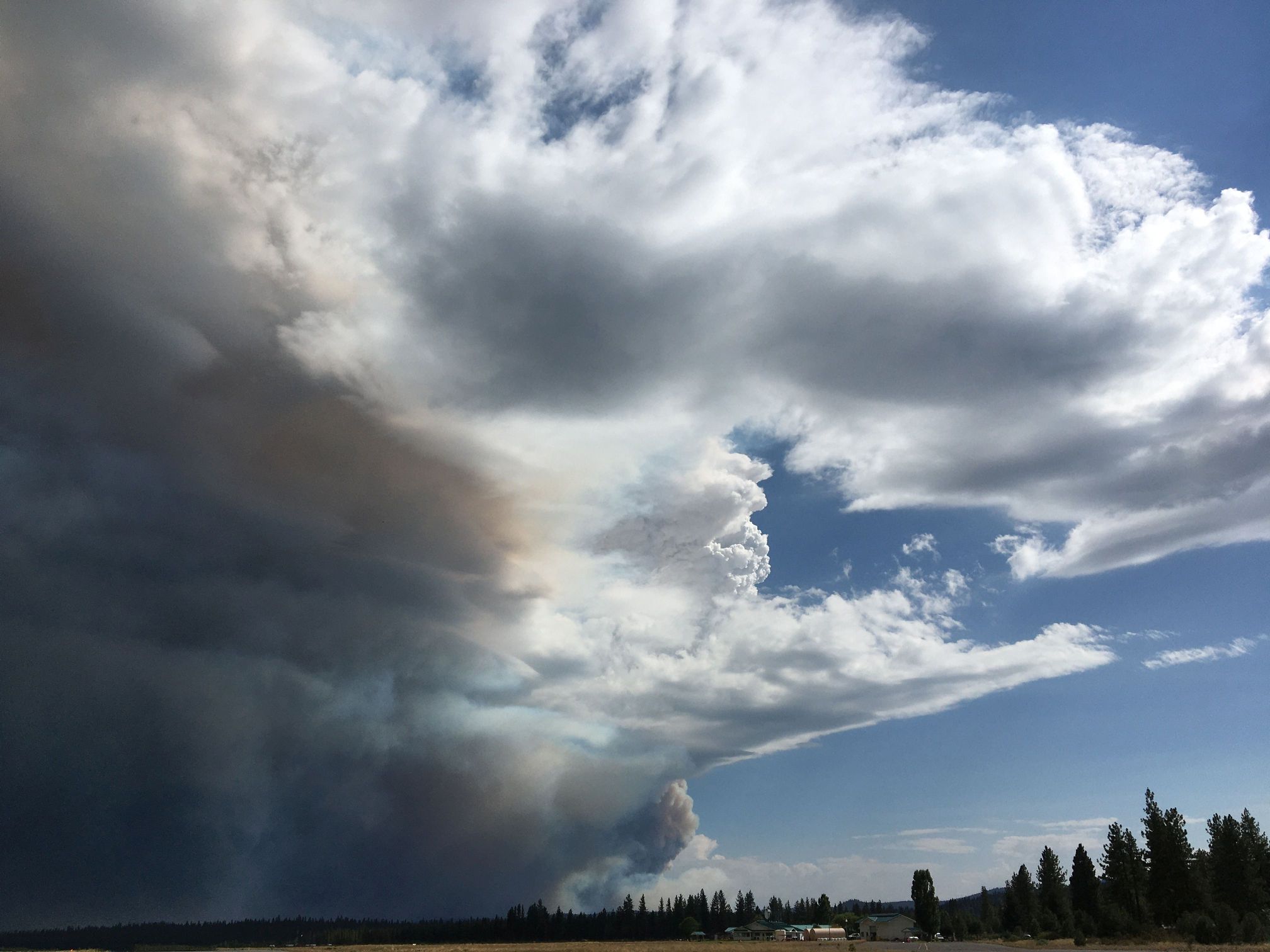
From caltrans District 3: This highway information is the latest reported as of Monday, July 19th, 2021 at 12:25 PM.
SR 70
[IN THE NORTHERN CALIFORNIA AREA]
IS CLOSED FROM 14.3 MI EAST OF THE JCT OF SR 191 /AT GRANDVIEW STATION/ (BUTTE CO) TO THE NORTH JCT OF SR 89 (PLUMAS CO) - DUE TO A WILDFIRE - MOTORISTS ARE ADVISED TO USE AN ALTERNATE ROUTE
I found this in another thread on the Dixie fire. Fire955 had put this out there. I thought it was worth repeating so I borrowed it with apologies to Fire955
Summary from the incident report sent to the PUC from PG&E:
Summary: On July 13, 2021 at approximately 0700 hours, PG&E’s outage system indicated that Cresta Dam off of Highway 70 in the Feather River Canyon lost power. The responding PG&E troubleman observed from a distance what he thought was a blown fuse on the PG&E Bucks Creek 1101 12kV Overhead Distribution Circuit uphill from his location. Due to the challenging terrain and road work resulting in a bridge closure, he was not able to reach the pole with the fuse until approximately 1640 hours. There he observed two of three fuses blown and what appeared to him to be a healthy green tree leaning into the Bucks Creek 1101 12 kV conductor, which was still intact and suspended on the poles. He also observed a fire on the ground near the base of the tree. The troubleman manually removed the third fuse and reported the fire, his supervisor called 9-1-1, and the 9-1-1 operator replied they were aware of the fire and responding. CAL FIRE air support arrived on scene by approximately 1730 hours and began dropping fire retardant and water. In response to a CAL FIRE request, PG&E de- energized another section of the Bucks Creek 1101 12 kV line. In a 2045 hours status report, the CAL FIRE website stated the fire was approximately 1-2 acres; later that evening CAL FIRE reported the fire had grown to 10-15 acres and ground resources had problems accessing the area. According to the CAL FIRE website as of July 18, 2021 at 2007 hours, the Dixie Fire has burned approximately 19,000 acres and is 15 percent contained. The fire has generally burned in remote wildlands, and CAL FIRE has reported no property damage and one injury (according to a news report, CAL FIRE stated a firefighter suffered minor injuries and was able to walk away). On July 18, 2021, CAL FIRE investigators collected the following PG&E equipment: portions of the Bucks Creek 1101 12 kV line, including conductor, jumpers, insulators, and fuse cutouts, as well as portions of the tree. PG&E submits this report in an abundance of caution given CAL FIRE’s collection of PG&E facilities in connection with its investigation. PG&E is cooperating with CAL FIRE’s investigation and is reporting this to the CPUC under the media criterion. This information is preliminary.
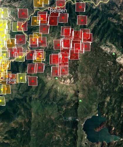
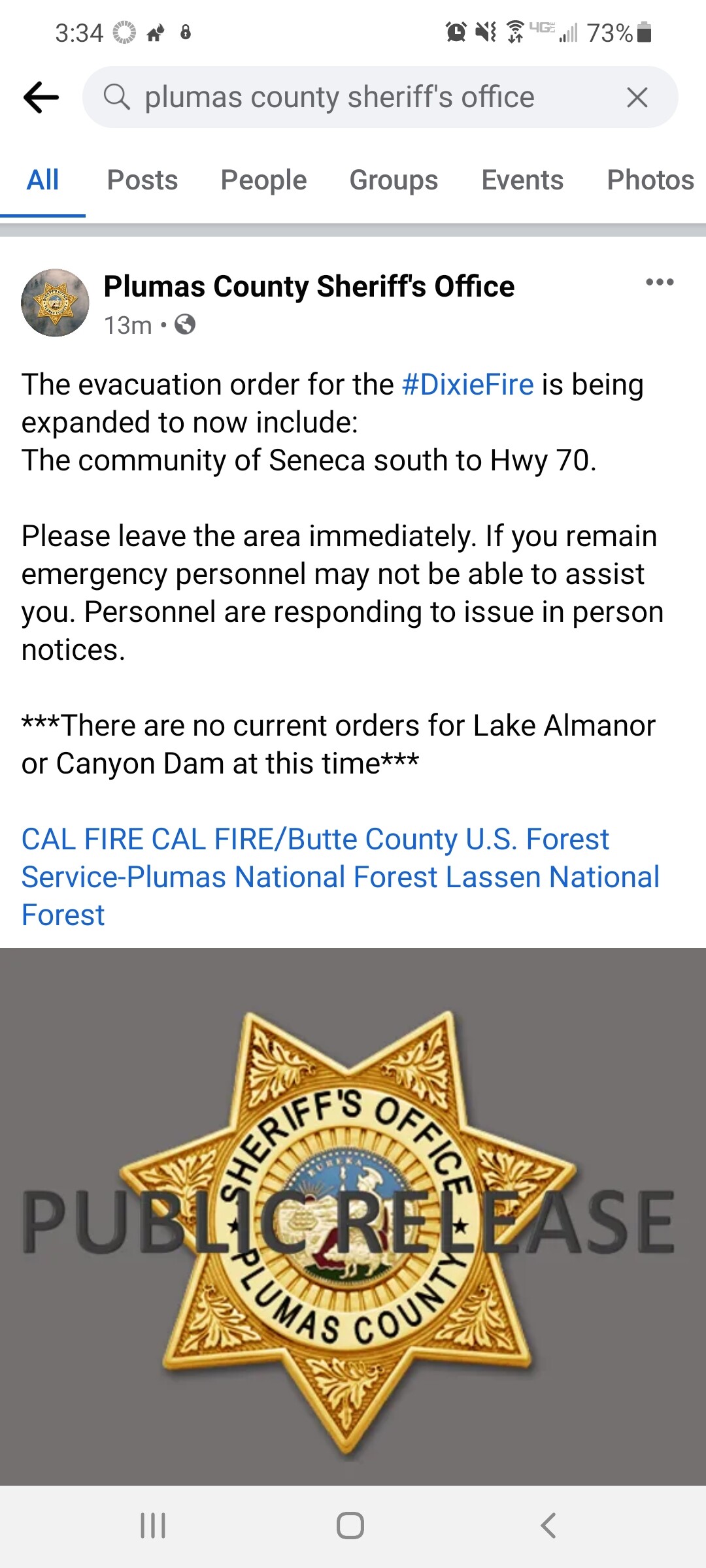
The fire is awake and covering ground again, plumas just expanded their evacuation orders towards chester/almanor. Butte County has been able to coordinate with Plumas County and get all of the evacuation details onto one single map, which should be very useful for situational awareness for the general public. ArcGIS Web Application
And the western wind that cleared it away for an hour or two is shifting back to the north, alas. Not only will it get smoky again, but that retardant line they’re laying to the fire’s east might soon become obsolete (though good if it shifts back later).
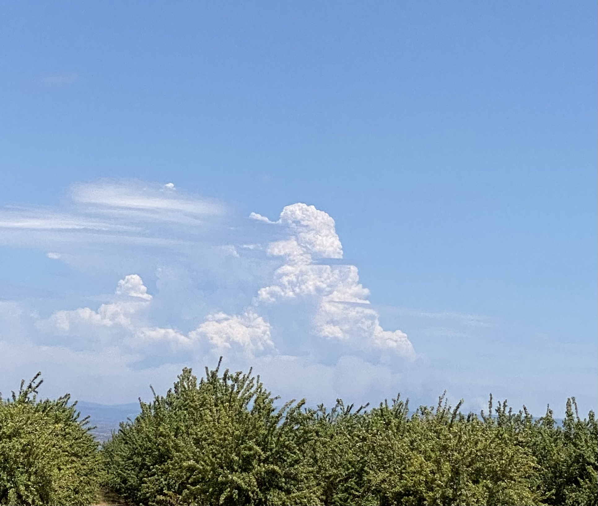
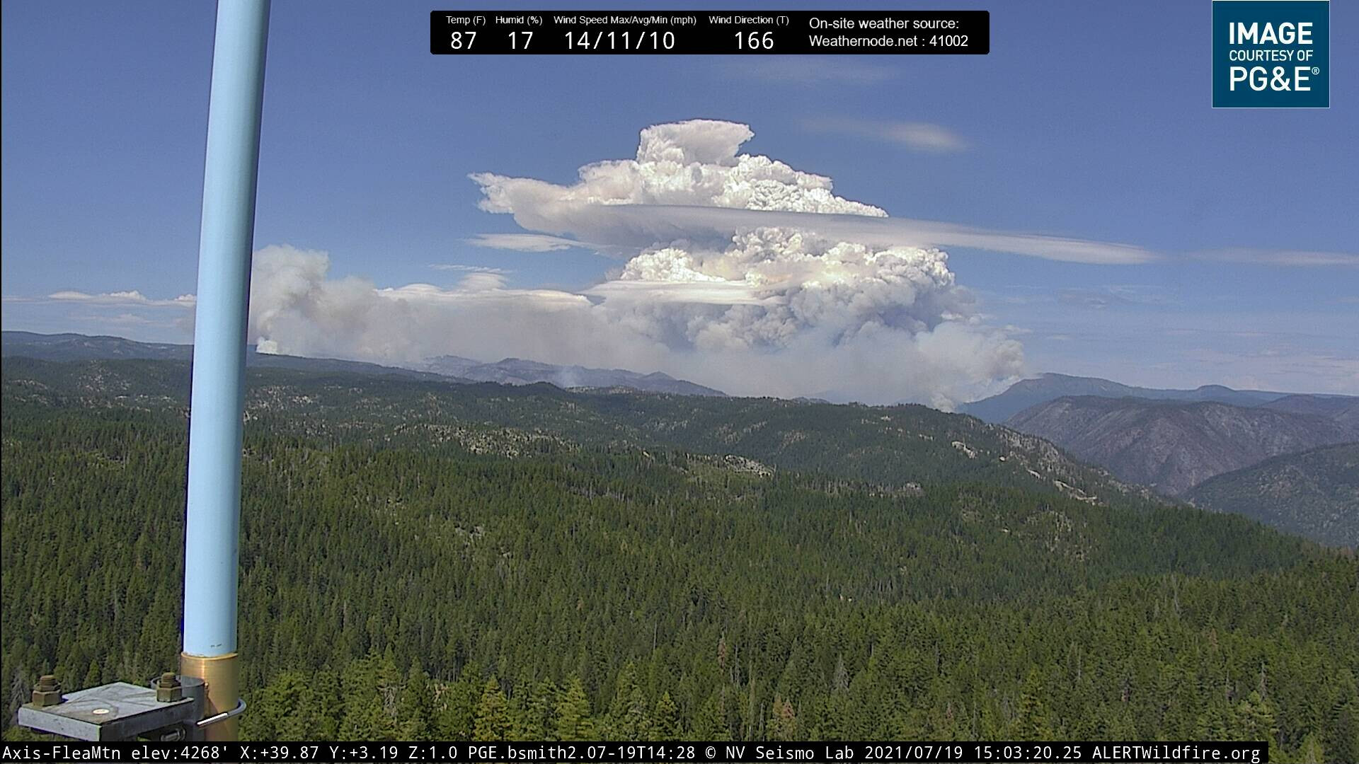
I can hear it. More than a little disturbing, coming from something that looks like this, but is smoke, not rainclouds (Canyon Dam is bit to the left of frame, and about seven miles deep into, this picture):